Road Stream Crossing Site LTB-082
Little Traverse Bay Watershed, Tannery Creek
Boyer Rd
Bear Creek Twp,
Emmet County
Information collected by:
Site Location
GPS Coordinates: 45.37797244
, -84.9034089
Fish Passability 0.5
Total Erosion: 0.0409 tons/year
Severity: Moderate
Year Inventoried: 2014
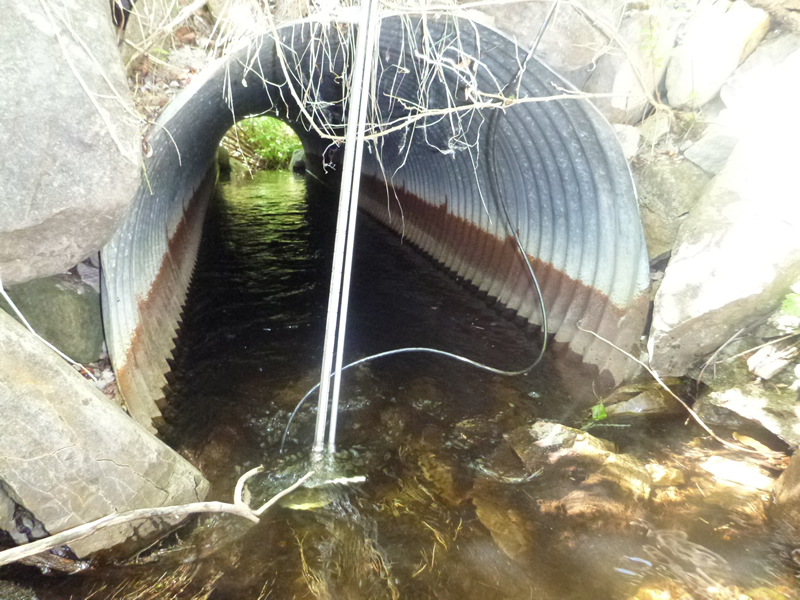
Inlet
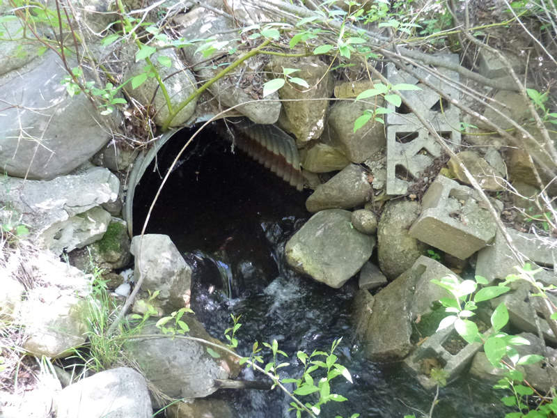
Outlet
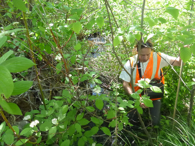
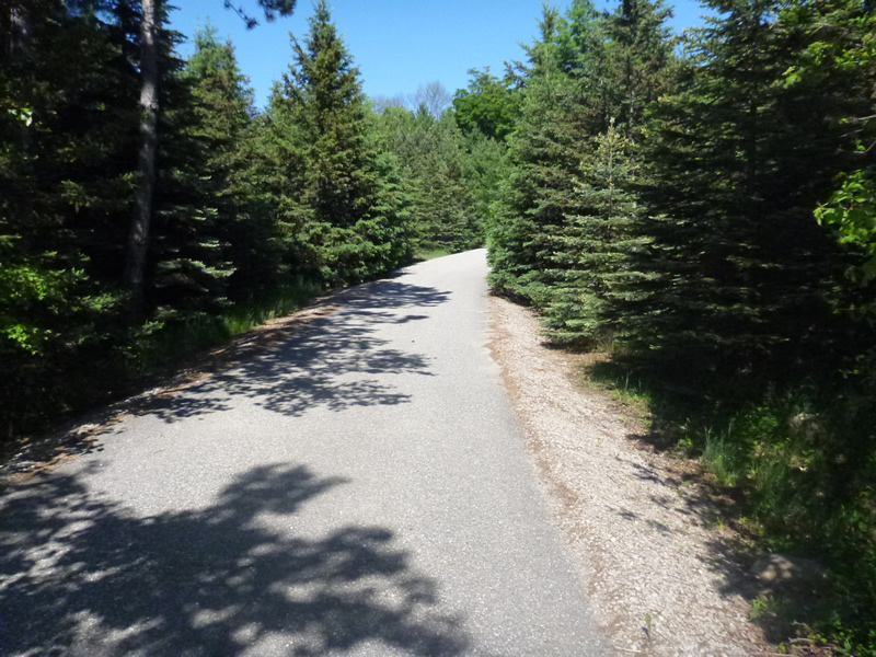
Upstream Conditions
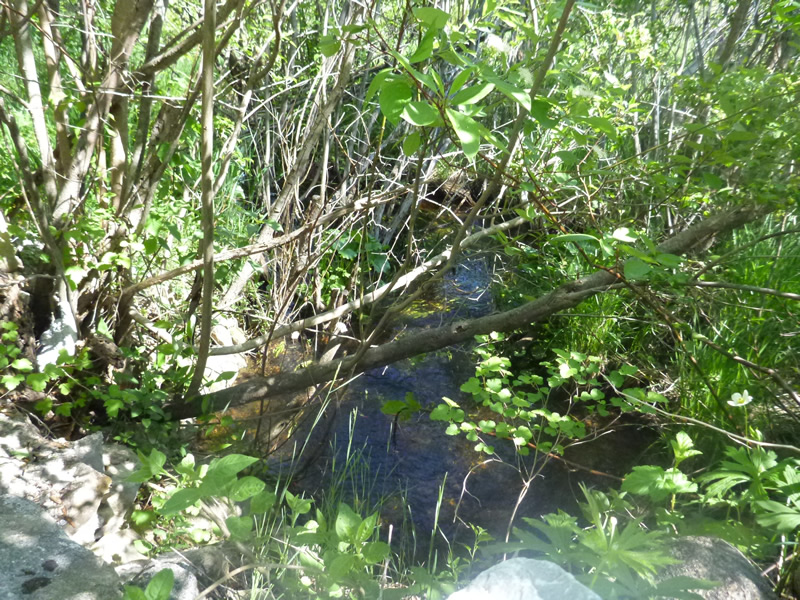
Downstream Conditions
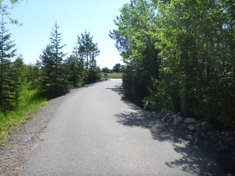
Road Approach - Left
Road Approach - Right
Crossing Information
Type of Crossing: culvert(s)
Number of Structures: 1
Structure Shape: Round
Inlet Type: Projecting
Outlet Type: Cascade over Riprap
Structure Material: Metal
Structure Substrate: Rock
General Conditions: Good
Dimensions of Structure: Length 20 ft.
, Width 3 ft.
, Height 2.67 ft.
Structure Inlet
Water Depth: 0.4 ft.
Embedded Depth of Structure: 0.083 ft.
Water Velocity*: 2.6 ft./sec.
Structure Outlet
Water Depth: 0.75 ft.
Embedded Depth of Structure: 0.083 ft.
Water Velocity*: 1.25 ft./sec.
*Water Velocities were measured 0.24 ft. below Surface
(with Meter)
Additional Comments
584 Boyer Rd Driveway of Michael Sunday. Old site ID: TC-11.
Riffle Information
Water Depth: 0.6 ft.
Bankfull Width: 6.33 ft.
Wetted Width: 5.5 ft.
Water Velocity: 0.4 ft./sec.
Road Information
Paved
Private Road
Road Condition: Good
Road Width at Culvert: 15 ft.
Runoff Path: Roadway
Embankments
Upstream
Fill Depth: 2.33 ft.
Slope: Vertical
Downstream
Fill Depth: 4 ft.
Slope: Vertical
Approaches
Left Approach
Length: 100 ft.
Slope: 1% to 5%
Vegetation: Heavy
LS Factor: 0.38
Erosion: 0.0188 tons/year
Right Approach
Length: 115 ft.
Slope: 1% to 5%
Vegetation: Heavy
LS Factor: 0.386
Erosion: 0.022 tons/year
Erosion Information
Total Erosion at Crossing: 0.0409 tons/year
Summary Information
Fish Passability 0.5
�