Road Stream Crossing Site LTB-086
Little Traverse Bay Watershed, Tannery Creek
Mitchell Rd (Between Boyer and Alcan)
Bear Creek Twp,
Emmet County
Information collected by:
Site Location
GPS Coordinates: 45.37378778
, -84.90027878
Fish Passability 0.9
Total Erosion: 2.7078 tons/year
Severity: Severe
Year Inventoried: 2014
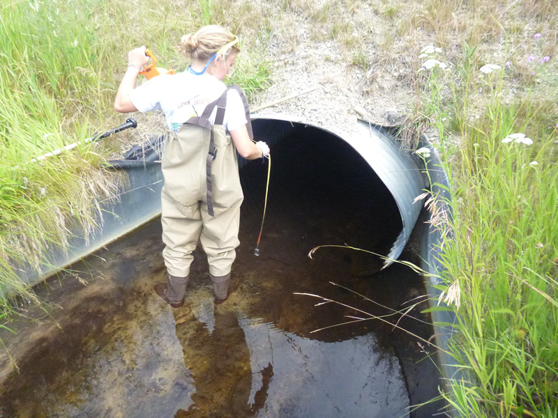
Inlet
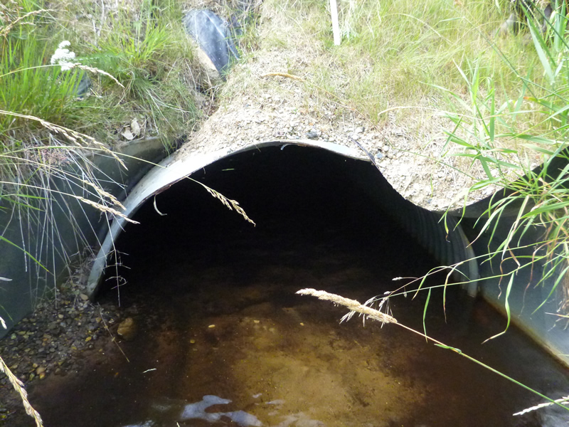
Outlet
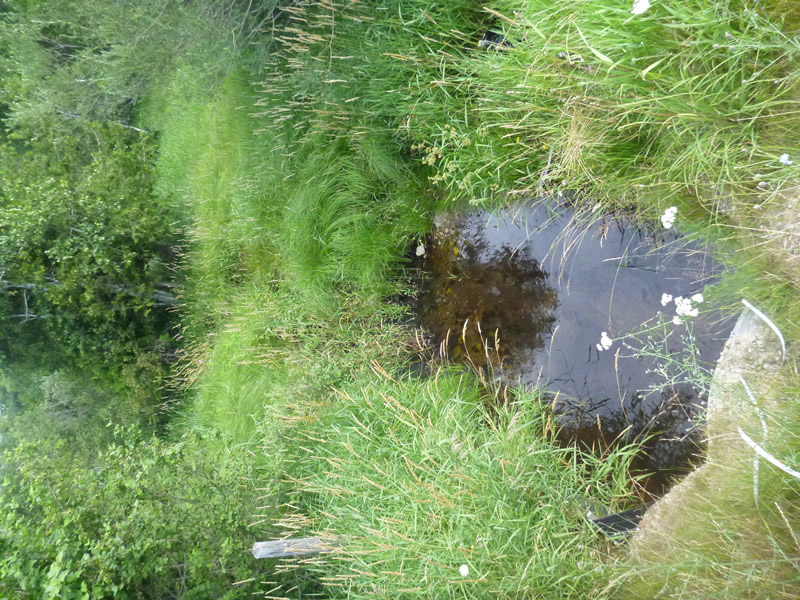
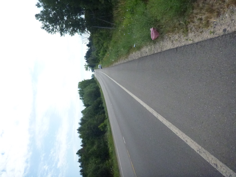
Downstream Conditions
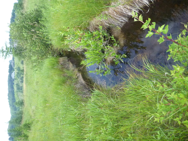
Downstream Conditions
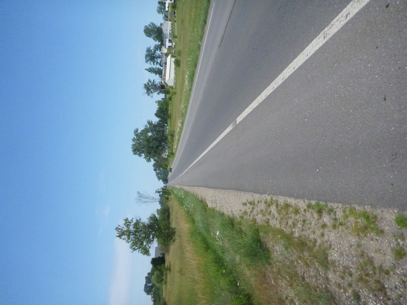
Road Approach - Left
Road Approach - Right
Crossing Information
Type of Crossing: culvert(s)
Number of Structures: 1
Structure Shape: Ellipse
Inlet Type: Wingwall 30-70 Degree
Outlet Type: At Stream Grade
Structure Material: Metal
Structure Substrate: Sand
General Conditions: Fair
Dimensions of Structure: Length 55 ft.
, Width 4.583 ft.
, Height 3.83 ft.
Percentage Plugged:
Outlet: 1% to 25%
Percentage Crushed:
In Pipe: 1% to 25%
Structure Inlet
Water Depth: 0.33 ft.
Embedded Depth of Structure: 0.83 ft.
Water Velocity*: 0.1 ft./sec.
Structure Outlet
Water Depth: 0.25 ft.
Embedded Depth of Structure: 1.583 ft.
Water Velocity*: 0 ft./sec.
*Water Velocities were measured 0.167 ft. below Surface
(with Meter)
Additional Comments
Old site ID: TC-1.
Stream Information
Stream Flow: Less than 1/2 Bankfull
Riffle Information
Water Depth: 0.33 ft.
Bankfull Width: 9.25 ft.
Wetted Width: 7.083 ft.
Water Velocity: 0 ft./sec.
(Measured with Meter)
Dominant Substrate: Sand
Road Information
Paved
County Road
Road Condition: Good
Road Width at Culvert: 50 ft.
Location of Low Point: At Stream
Runoff Path: Ditch
Embankments
Upstream
Fill Depth: 6 ft.
Slope: 1:1.5
Downstream
Fill Depth: 6 ft.
Slope: 1:1.5
Approaches
Left Approach
Length: 1000 ft.
Slope: 1% to 5%
Vegetation: Partial
LS Factor: 0.8
Erosion: 1.3223 tons/year
Right Approach
Length: 1000 ft.
Slope: 1% to 5%
Vegetation: Partial
LS Factor: 0.8
Erosion: 1.3223 tons/year
Erosion Information
Total Erosion at Crossing: 2.7078 tons/year
Extent of Erosion: Moderate
Notes: road ditch erosion current precautions are unstable.
Location of Erosion | Erosion Dimensions | Eroded Material | Material Eroded | Total Erosion | ||
facing downstream | Length | Width | Depth | Reaching Stream? | (tons/year) | |
Right Upstream Ditch |
20 ft. |
10 ft. |
0.167 ft. |
no |
Gravelly Loam |
0.0234 |
Left Upstream Ditch |
20 ft. |
10 ft. |
0.167 ft. |
no |
Gravelly Loam |
0.0234 |
Right Downtream Ditch |
7 ft. |
3 ft. |
0.167 ft. |
no |
Gravelly Loam |
0.0082 |
Left Downstream Ditch |
7 ft. |
3 ft. |
0.167 ft. |
no |
Gravelly Loam |
0.0082 |
Summary Information
Fish Passability 0.9
Fish Passage is an area of concern for this site.
possibly? Slow velocity.
A future visit to this site is recommended. quite embedded.
�