Road Stream Crossing Site LTB-091
Little Traverse Bay Watershed, Bear River
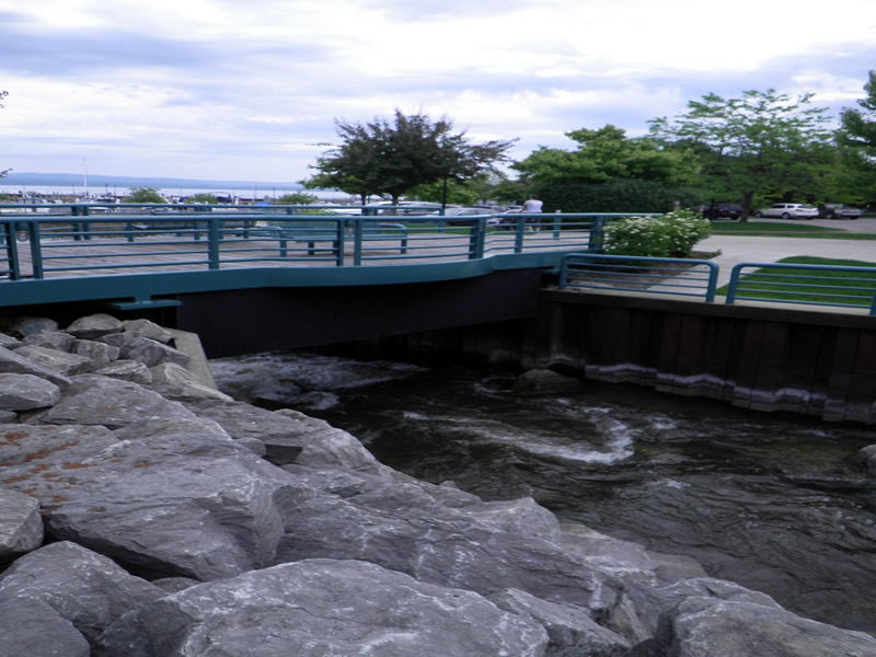
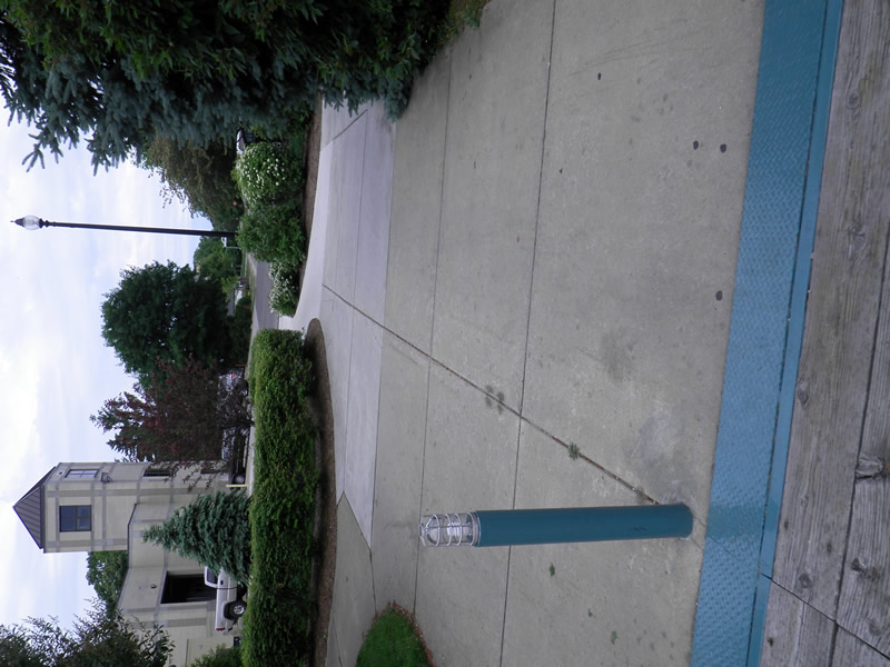
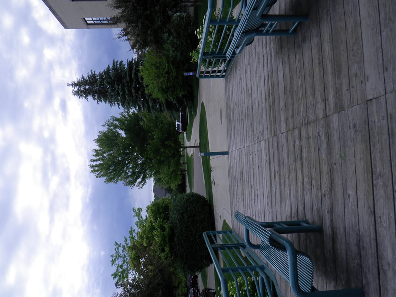
Foot Bridge at Mouth
Petoskey,
Emmet County
Information collected by:
Site Location
GPS Coordinates: 45.37555919
, -84.96065097
Fish Passability 0
Total Erosion: 0 tons/year
Severity: Severe
Year Inventoried: 2014
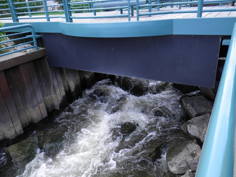
Inlet
Outlet
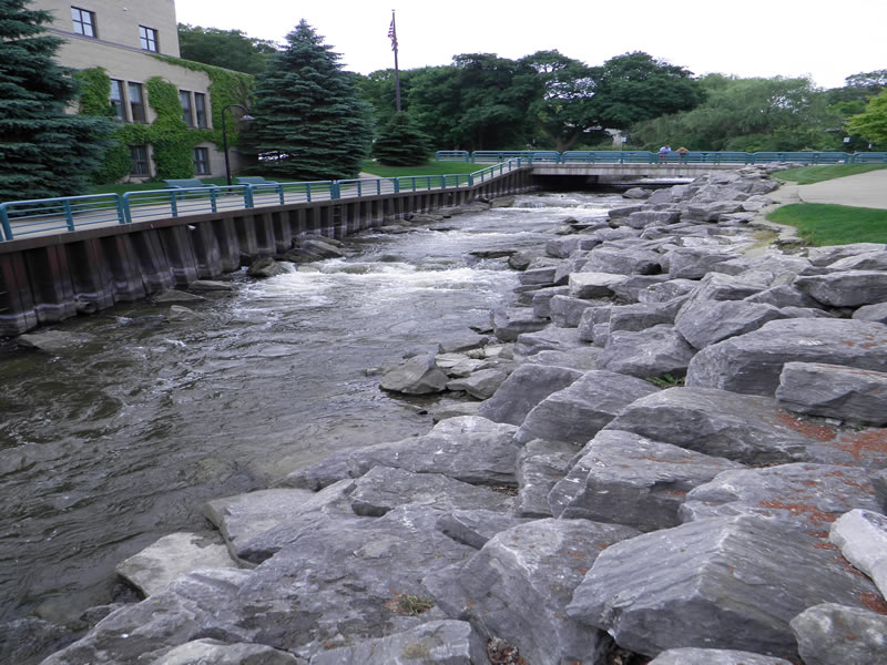
Upstream Conditions
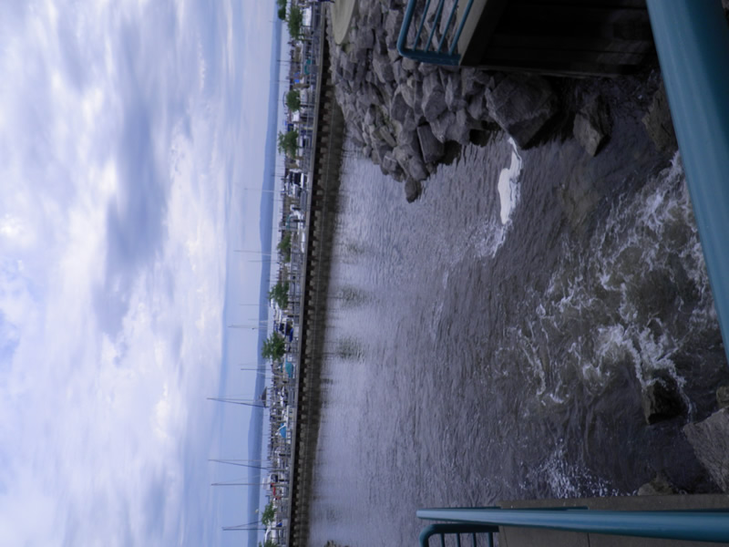
Downstream Conditions
Road Approach - Left
Road Approach - Right
Crossing Information
Type of Crossing: Bridge
Dimensions of Structure: Length 15 ft.
, Width 41 ft.
, Height 10.42 ft.
Structure Inlet
Water Depth: 1.5 ft.
Water Velocity*: 3.2 ft./sec.
Structure Outlet
Water Depth: 1.5 ft.
Water Velocity*: 3.2 ft./sec.
*Water Velocities were measured 0.75 ft. below Surface
(with Meter)
Additional Comments
Old site ID: E-11.
Stream Information
Stream Flow: Less than Bankfull
Riffle Information
Water Depth: 1.25 ft.
Bankfull Width: 53 ft.
Wetted Width: 49.5 ft.
Water Velocity: 2.6 ft./sec.
Road Information
Road Condition: Good
Road Width at Culvert: 15 ft.
Location of Low Point: Other
Embankments
Upstream
Fill Depth: 25 ft.
Slope: 1:1.5
Downstream
Fill Depth: 25 ft.
Slope: 1:1.5
Length: 10 ft.
Slope: Less Than 1%
Vegetation: None
Length: 0 ft.
Slope: Less Than 1%
Vegetation: None
Erosion Information
Total Erosion at Crossing: 0 tons/year
Extent of Erosion: Stabilized
Notes: Rocks
Summary Information
Fish Passability 0
�