Road Stream Crossing Site LTB-092
Little Traverse Bay Watershed, Bear River
Lake St
Petoskey,
Emmet County
Information collected by:
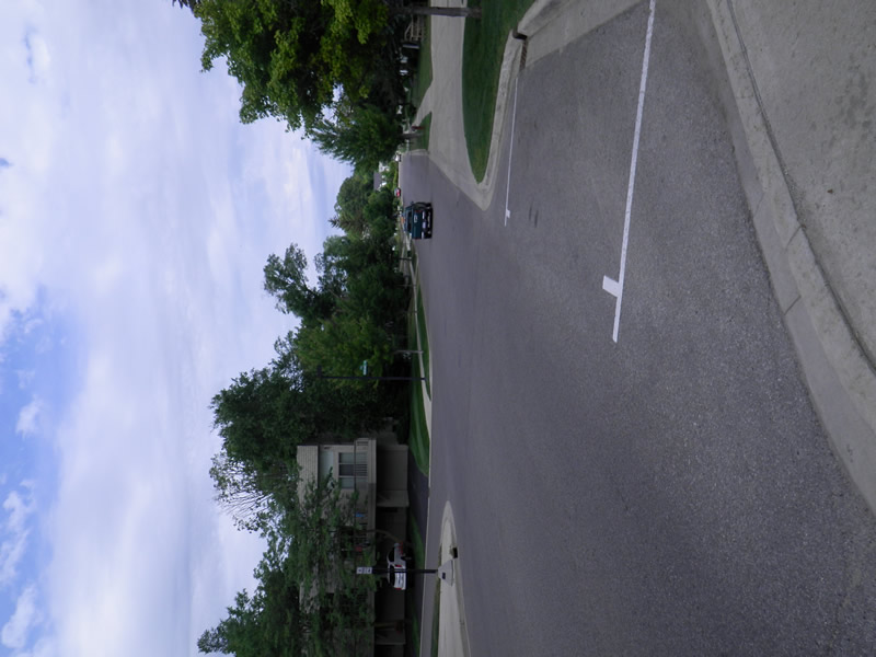
Site Location
GPS Coordinates: 45.37496106
, -84.96074469
Fish Passability 0.5
Total Erosion: 2.8796 tons/year
Severity: Severe
Year Inventoried: 2014
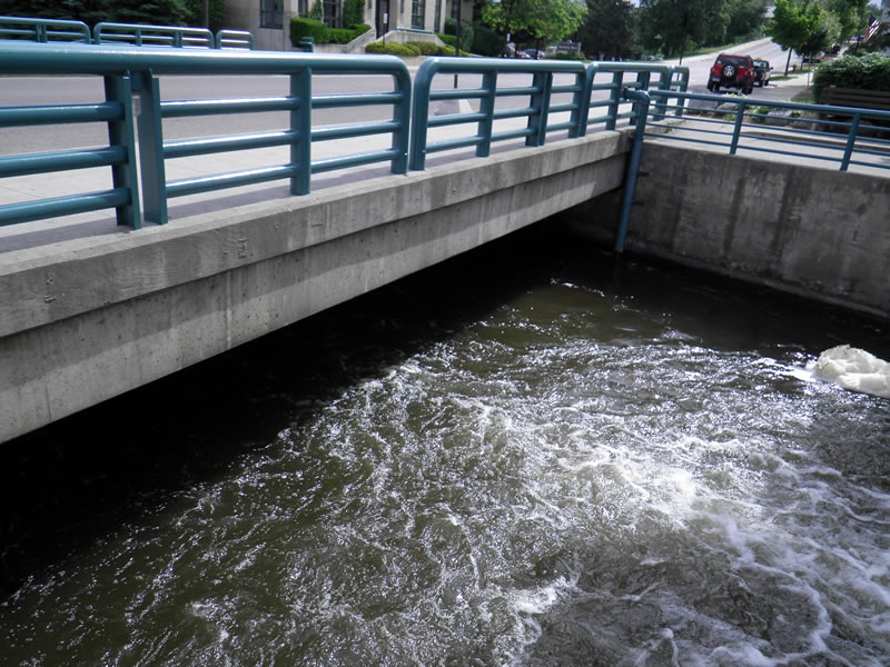
Inlet
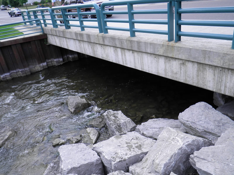
Outlet
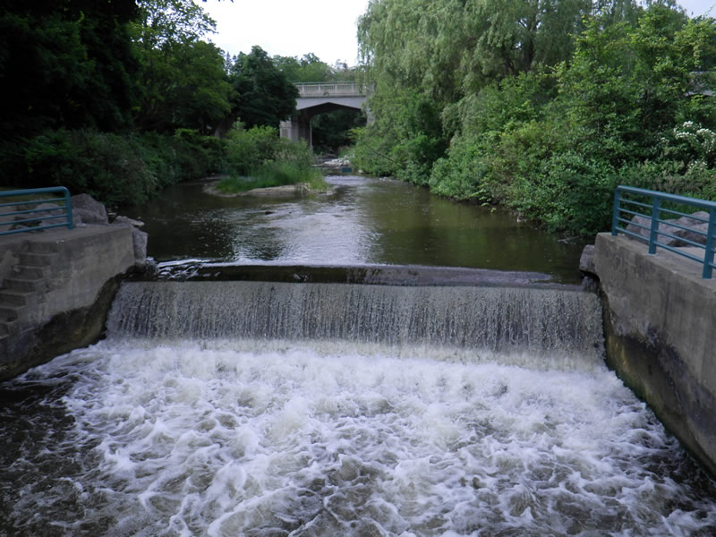
Upstream Conditions
Downstream Conditions
Road Approach - Left
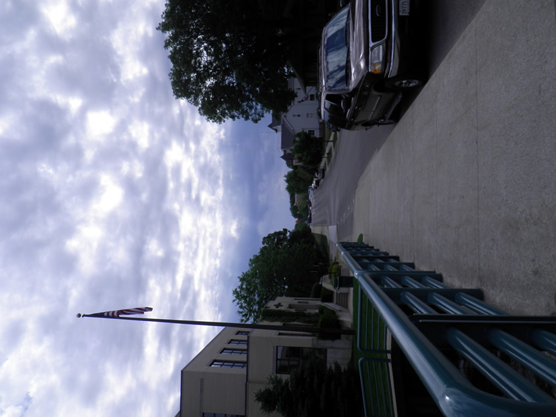
Road Approach - Right
Crossing Information
Type of Crossing: Bridge
Dimensions of Structure: Length 56 ft.
, Width 48 ft.
, Height 6.5 ft.
Structure Inlet
Water Depth: 1.5 ft.
Water Velocity*: 2.7 ft./sec.
Structure Outlet
Water Depth: 1.5 ft.
Water Velocity*: 2.7 ft./sec.
*Water Velocities were measured 0.75 ft. below Surface
(with Meter)
Additional Comments
Old site ID: E-10.
Riffle Information
Water Depth: 1.25 ft.
Bankfull Width: 53 ft.
Wetted Width: 49.5 ft.
Water Velocity: 2.6 ft./sec.
(Measured with Meter)
Dominant Substrate: Cobble
Road Information
Paved
County Road
Road Condition: Good
Road Width at Culvert: 56 ft.
Location of Low Point: Other
Runoff Path: Roadway
Embankments
Upstream
Fill Depth: 20 ft.
Slope: 1:1.5
Downstream
Fill Depth: 20 ft.
Slope: 1:1.5
Approaches
Left Approach
Length: 10 ft.
Slope: Less Than 1%
Vegetation: None
LS Factor: 0.05
Erosion: 0.0009 tons/year
Right Approach
Length: 500 ft.
Slope: 6% to 10%
Vegetation: None
LS Factor: 3.11
Erosion: 2.8787 tons/year
Erosion Information
Total Erosion at Crossing: 2.8796 tons/year
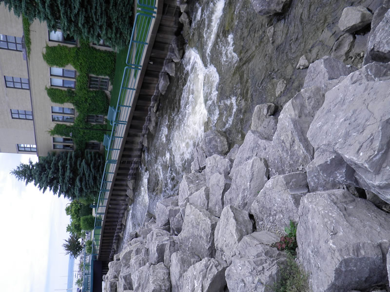
Extent of Erosion: Stabilized
Summary Information
Fish Passability 0.5
�