Road Stream Crossing Site LTB-093
Little Traverse Bay Watershed, Bear River
US-31
Petoskey,
Emmet County
Information collected by:
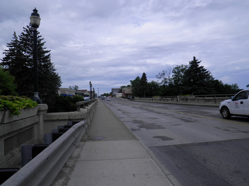
Site Location
GPS Coordinates: 45.37399861
, -84.96058319
Fish Passability 0.5
Total Erosion: 0.7552 tons/year
Severity: Moderate
Year Inventoried: 2014
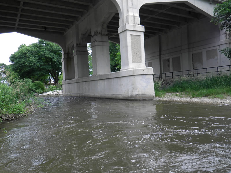
Inlet
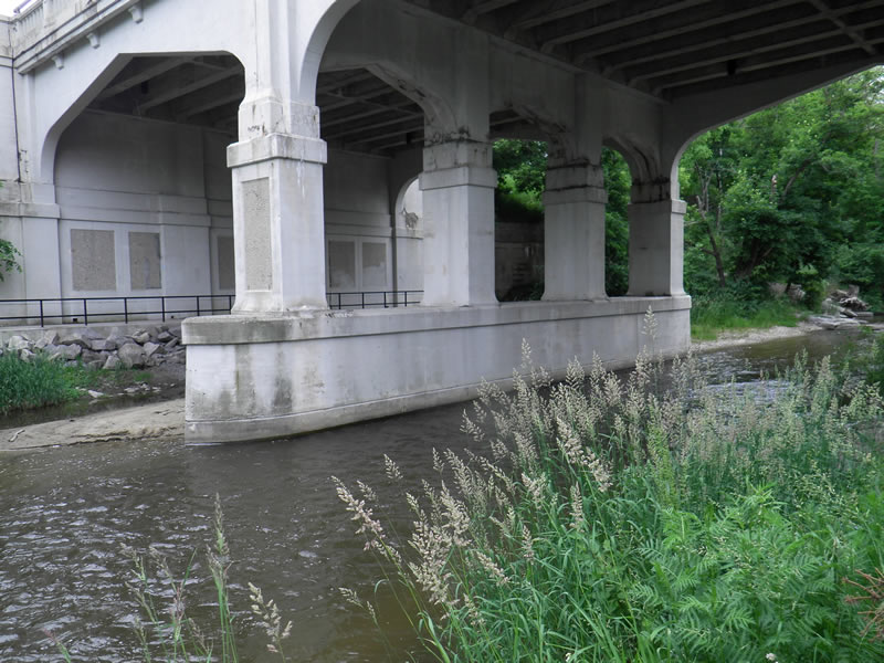
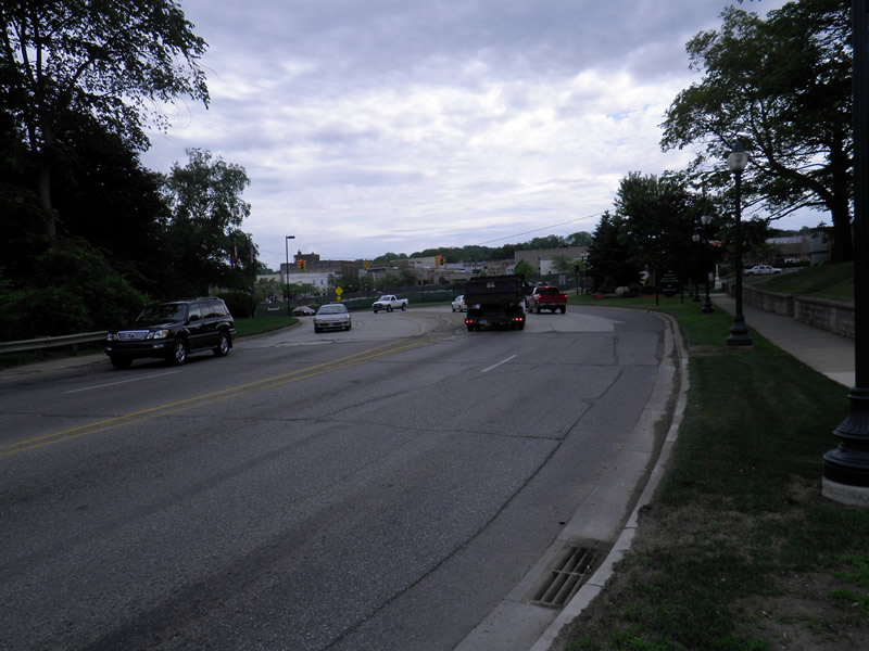
Outlet
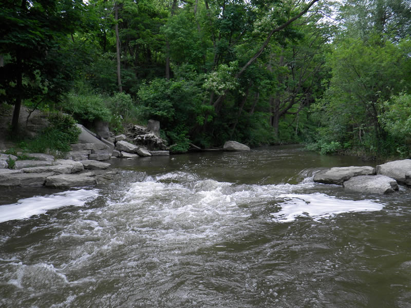
Upstream Conditions
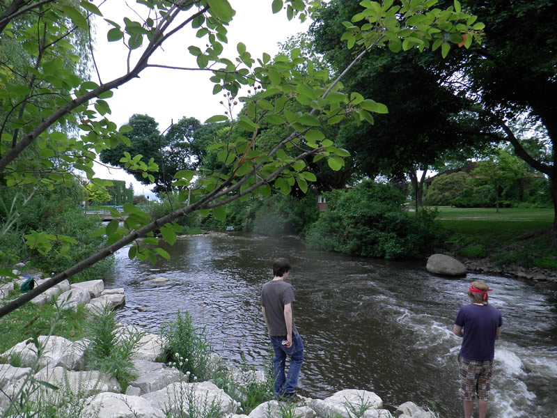
Downstream Conditions
Road Approach - Left
Road Approach - Right
Crossing Information
Type of Crossing: Bridge
Dimensions of Structure: Length 61 ft.
, Width 80 ft.
, Height 50 ft.
Structure Inlet
Water Depth: 1.083 ft.
Water Velocity*: 2.9 ft./sec.
Structure Outlet
Water Depth: 1.083 ft.
Water Velocity*: 2.9 ft./sec.
*Water Velocities were measured 0.542 ft. below Surface
(with Meter)
Additional Comments
Old site ID: E-9.
Stream Information
Stream Flow: Less than Bankfull
Riffle Information
Water Depth: 1.25 ft.
Bankfull Width: 53 ft.
Wetted Width: 49.5 ft.
Water Velocity: 2.6 ft./sec.
(Measured with Meter)
Dominant Substrate: Cobble
Road Information
Paved
Federal Road
Road Condition: Good
Road Width at Culvert: 61 ft.
Location of Low Point: Other
Runoff Path: Roadway
Embankments
Upstream
Fill Depth: 5 ft.
Slope: More than 1:2
Downstream
Fill Depth: 5 ft.
Slope: More than 1:2
Approaches
Left Approach
Length: 700 ft.
Slope: 1% to 5%
Vegetation: Heavy
LS Factor: 0.535
Erosion: 0.7552 tons/year
Right Approach
Length: 0 ft.
Slope: Less Than 1%
Vegetation: Heavy
LS Factor: 0.05
Erosion: 0 tons/year
Erosion Information
Total Erosion at Crossing: 0.7552 tons/year
Extent of Erosion: Stabilized
Summary Information
Fish Passability 0.5
�