Road Stream Crossing Site LTB-096
Little Traverse Bay Watershed, Bear River
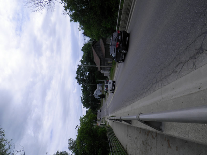
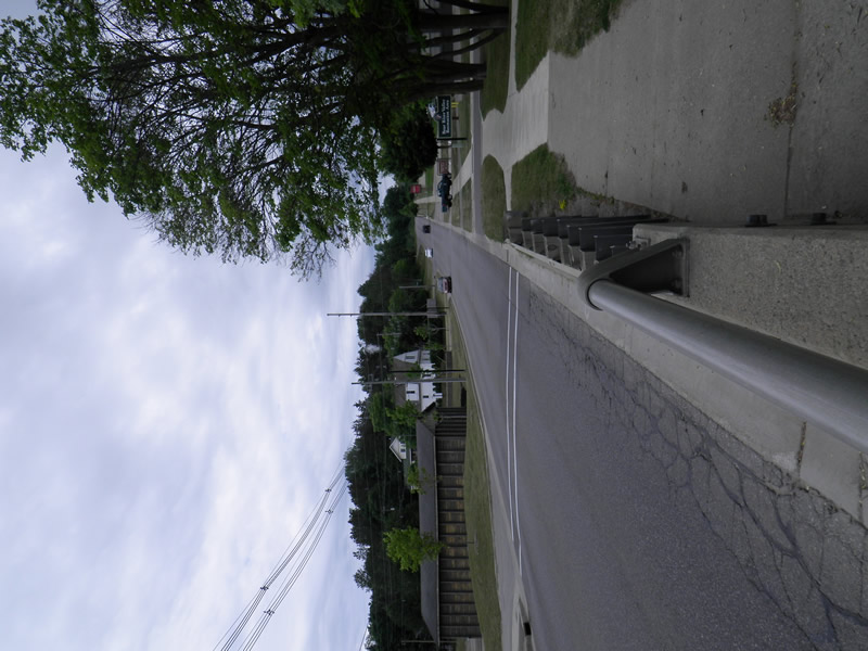
Sheridan Rd
Petoskey,
Emmet County
Information collected by:
Site Location
GPS Coordinates: 45.3646177
, -84.96153974
Fish Passability 0
Perch Height: 1 ft.
Total Erosion: 0.013 tons/year
Severity: Severe
Year Inventoried: 2014
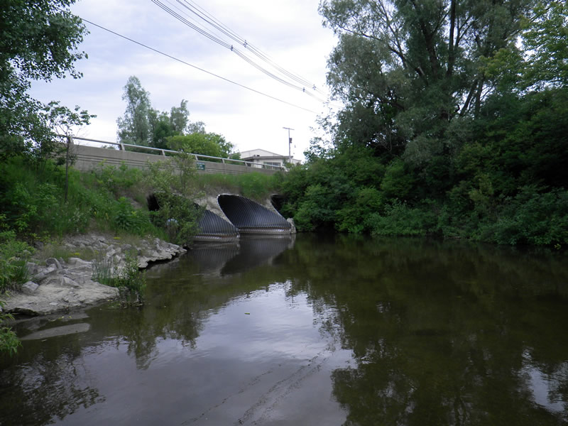
Inlet
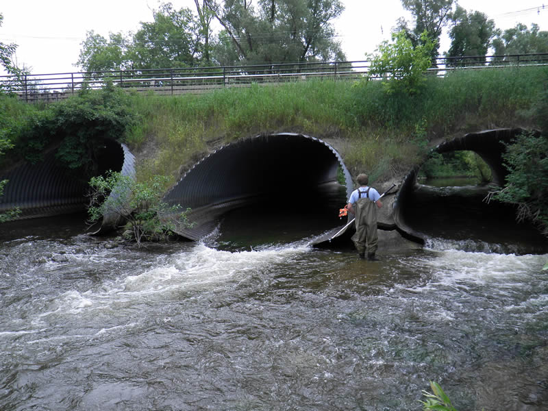
Outlet
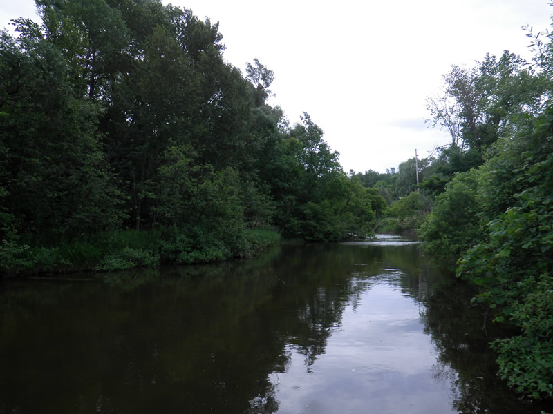
Upstream Conditions
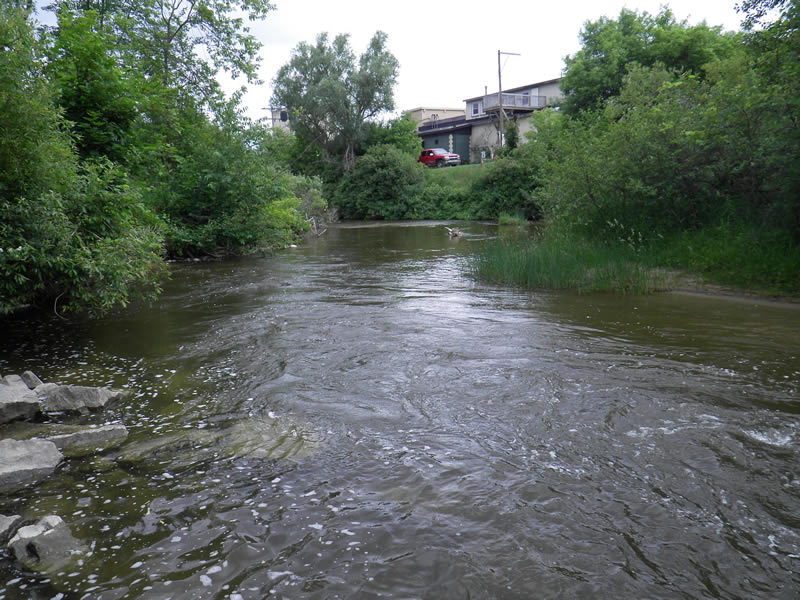
Downstream Conditions
Road Approach - Left
Road Approach - Right
Crossing Information
Type of Crossing: culvert(s)
Number of Structures: 3
Structure Shape: Round
Inlet Type: Projecting
Outlet Type: At Stream Grade
Structure Material: Metal
Structure Substrate: None
General Conditions: Good
Multiple Culverts/Spans | ||||
Culvert/Span | Width | Length | Height | Material |
1 |
15 ft. |
73 ft. |
8.5 ft. |
Metal |
2 |
15 ft. |
73 ft. |
8.5 ft. |
Metal |
3 |
15 ft. |
73 ft. |
8.5 ft. |
Metal |
Structure Interior: corrugated
Dimensions of Structure: Length 73 ft.
, Width 15 ft.
, Height 835 ft.
Perch Height: 1 ft.
Structure Inlet
Water Depth: 1.52 ft.
Water Velocity*: 2.5 ft./sec.
Structure Outlet
Water Depth: 1.1 ft.
Water Velocity*: 5.5 ft./sec.
*Water Velocities were measured 0.76 ft. below Surface
(with Meter)
Additional Comments
Old site ID: E-6.
Stream Information
Stream Flow: Less than Bankfull
Scour Pool: Length 20 ft.
, Width 5 ft.
, Depth 3 ft.
Upstream Pond: Length 10 ft.
Riffle Information
Water Depth: 2 ft.
Bankfull Width: 53.75 ft.
Wetted Width: 51.75 ft.
Water Velocity: 0.6 ft./sec.
(Measured with Meter)
Dominant Substrate: Cobble
Road Information
Paved
County Road
Road Condition: Good
Road Width at Culvert: 27 ft.
Location of Low Point: At Stream
Runoff Path: Roadway
Embankments
Upstream
Fill Depth: 10 ft.
Slope: More than 1:2
Downstream
Fill Depth: 10 ft.
Slope: More than 1:2
Approaches
Left Approach
Length: 900 ft.
Slope: 1% to 5%
Vegetation: None
LS Factor: 1.165
Length: 1300 ft.
Slope: 6% to 10%
Vegetation: None
Erosion Information
Total Erosion at Crossing: 0.013 tons/year
Extent of Erosion: Minor
Notes: in between culverts
Location of Erosion | Erosion Dimensions | Eroded Material | Material Eroded | Total Erosion | ||
facing downstream | Length | Width | Depth | Reaching Stream? | (tons/year) | |
Right Upstream Ditch |
10 ft. |
3 ft. |
0.3 ft. |
no |
Gravel |
0.003 |
Left Downstream Ditch |
10 ft. |
3 ft. |
1 ft. |
no |
Gravel |
0.01 |
Summary Information
Fish Passability 0
Fish Passage is an area of concern for this site.
perched culverts, high velocity
These non-native species were observerd at this site: Purple Loosestrife
�