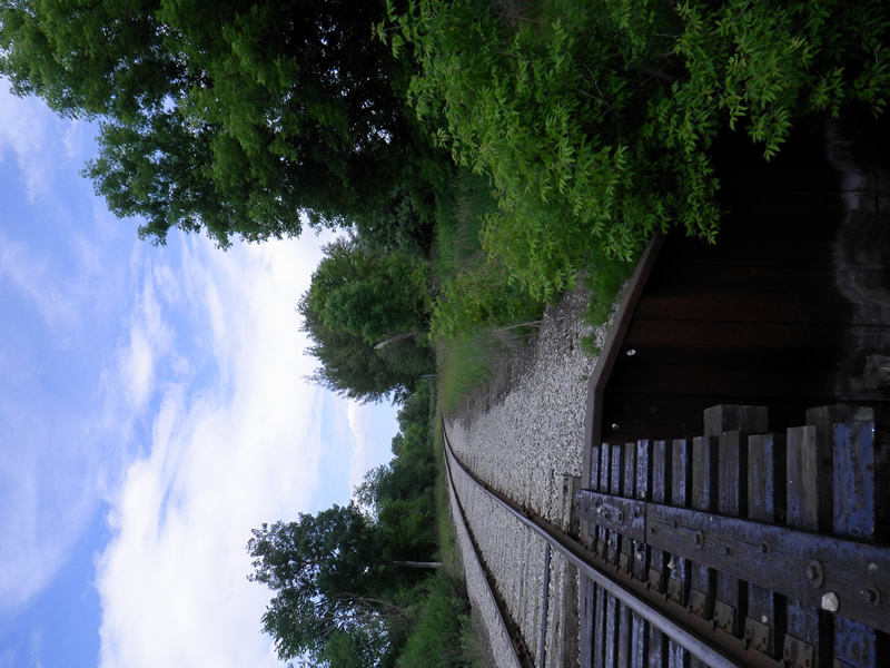
Road Stream Crossing Site LTB-098
Little Traverse Bay Watershed, Bear River
Railroad by Standish
Petoskey,
Emmet County
Information collected by:
Site Location
GPS Coordinates: 45.36082783
, -84.96054475
Fish Passability 0.5
Total Erosion: 0.2448 tons/year
Severity: Moderate
Year Inventoried: 2014
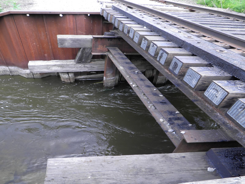
Inlet
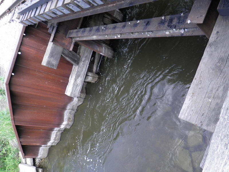
Outlet
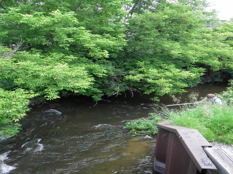
Upstream Conditions
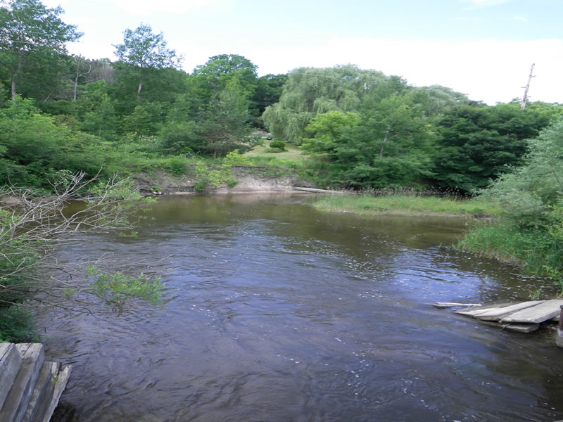
Downstream Conditions
Road Approach - Left
Road Approach - Right
Crossing Information
Type of Crossing: Bridge
Dimensions of Structure: Length 10 ft.
, Width 19 ft.
, Height 11 ft.
Structure Inlet
Water Depth: 4.67 ft.
Water Velocity*: 2.4 ft./sec.
Structure Outlet
Water Depth: 4.67 ft.
Water Velocity*: 2.4 ft./sec.
*Water Velocities were measured 2.335 ft. below Surface
(with Meter)
Additional Comments
Old site ID: E-5.
Stream Information
Stream Flow: Less than Bankfull
Riffle Information
Water Depth: 2.5 ft.
Bankfull Width: 20.497 ft.
Wetted Width: 20.497 ft.
Water Velocity: 2 ft./sec.
(Measured with Meter)
Dominant Substrate: Cobble
Road Information
Native Surface
Other Road
Road Condition: Fair
Road Width at Culvert: 10 ft.
Location of Low Point: At Stream
Runoff Path: Ditch
Embankments
Upstream
Fill Depth: 11 ft.
Slope: 1:2
Downstream
Fill Depth: 11 ft.
Slope: 1:2
Approaches
Left Approach
Length: 50 ft.
Slope: Less Than 1%
Vegetation: Heavy
LS Factor: 0.05
Erosion: 0.0069 tons/year
Right Approach
Length: 50 ft.
Slope: Less Than 1%
Vegetation: Heavy
LS Factor: 0.05
Erosion: 0.0069 tons/year
Erosion Information
Total Erosion at Crossing: 0.2448 tons/year
Extent of Erosion: Moderate
Location of Erosion | Erosion Dimensions | Eroded Material | Material Eroded | Total Erosion | ||
facing downstream | Length | Width | Depth | Reaching Stream? | (tons/year) | |
Left Downstream Streambank |
30 ft. |
2 ft. |
1 ft. |
yes |
Sand |
0.231 |
Summary Information
Fish Passability 0.5
�