Road Stream Crossing Site LTB-101
Little Traverse Bay Watershed, Unknown tributary of Bear River
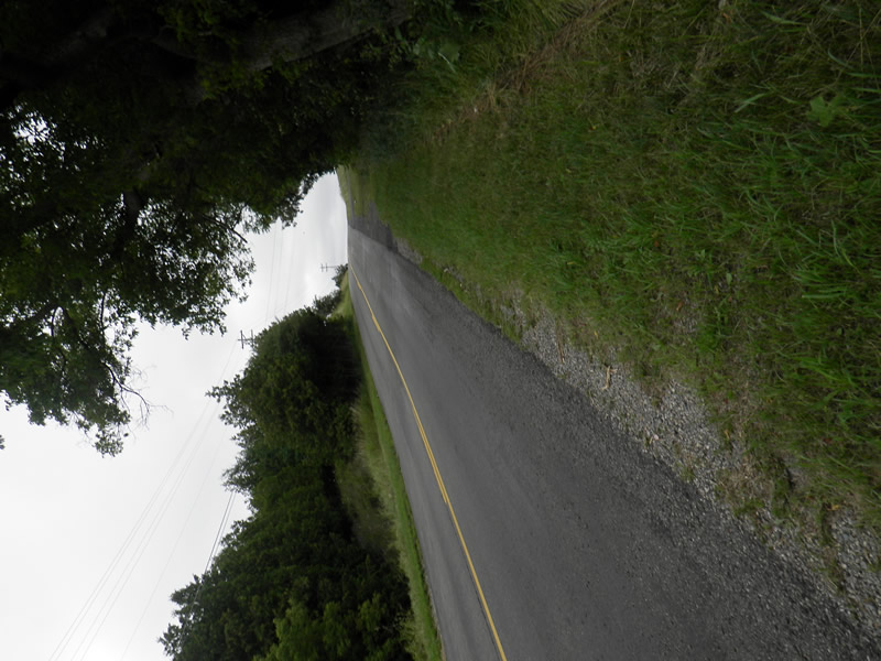
Greenwood Rd
Bear Creek Twp,
Emmet County
Information collected by:
Site Location
GPS Coordinates: 45.3557276
, -84.92874862
Owned by Private
Fish Passability 0.5
Total Erosion: 0.5444 tons/year
Severity: Moderate
Year Inventoried: 2014
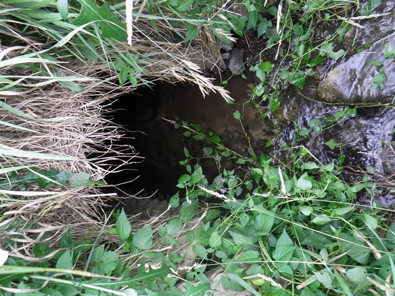
Inlet
Outlet
Upstream Conditions
Downstream Conditions
Road Approach - Left
Crossing Information
Type of Crossing: culvert(s)
Number of Structures: 1
Structure Shape: Round
Inlet Type: Projecting
Outlet Type: At Stream Grade
Structure Material: Metal
Structure Substrate: Sand
General Conditions: Poor
Structure Interior: corrugated
Structure is Rusted through
Dimensions of Structure: Length 55 ft.
, Width 2.5 ft.
, Height 2.92 ft.
Percentage Plugged:
Inlet: 1% to 25%
In Pipe: 1% to 25%
Percentage Crushed:
In Pipe: 1% to 25%
Structure Inlet
Water Depth: 0.33 ft.
Embedded Depth of Structure: 0.083 ft.
Water Velocity*: 0.4 ft./sec.
Structure Outlet
Water Depth: 0.13 ft.
Embedded Depth of Structure: 0 ft.
Water Velocity*: 1.4 ft./sec.
*Water Velocities were measured 0.16 ft. below Surface
(with Meter)
Additional Comments
1955 Greenwood. Old site ID: UT-7.
Stream Information
Stream Flow: Less than 1/2 Bankfull
Scour Pool: Length 7 ft.
, Width 8 ft.
, Depth 0.6 ft.
Riffle Information
Water Depth: 0.5 ft.
Bankfull Width: 10.83 ft.
Wetted Width: 7.67 ft.
Water Velocity: 0.05 ft./sec.
(Measured with Meter)
Dominant Substrate: Gravel
Road Information
Paved
County Road
Road Condition: Good
Road Width at Culvert: 26 ft.
Location of Low Point: Other
Runoff Path: Ditch
Embankments
Upstream
Fill Depth: 15 ft.
Slope: Vertical
Downstream
Fill Depth: 35 ft.
Slope: Vertical
Approaches
Left Approach
Length: 150 ft.
Slope: 6% to 10%
Vegetation: Heavy
LS Factor: 1.12
Erosion: 0.1444 tons/year
Right Approach
Length: 0 ft.
Slope: Less Than 1%
Vegetation: Heavy
LS Factor: 0.05
Erosion: 0 tons/year
Erosion Information
Total Erosion at Crossing: 0.5444 tons/year
Extent of Erosion: Severe
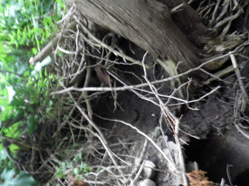
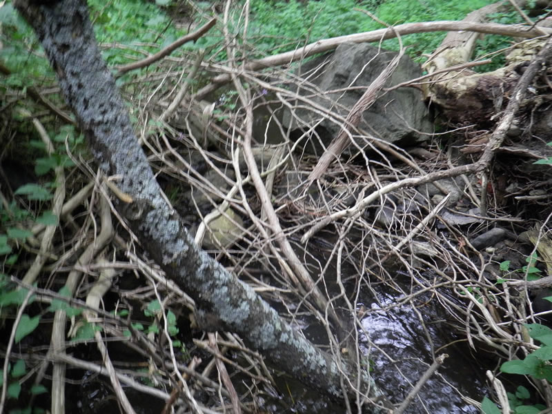
Notes: Trees were stabilizing one point, trees dying and roots uplifting PICS 32,33,34,35
Location of Erosion | Erosion Dimensions | Eroded Material | Material Eroded | Total Erosion | ||
facing downstream | Length | Width | Depth | Reaching Stream? | (tons/year) | |
Right Downstream Embankment |
10 ft. |
30 ft. |
1 ft. |
yes |
Gravelly Loam |
0.2 |
Left Downstream Embankment |
10 ft. |
30 ft. |
1 ft. |
yes |
Gravelly Loam |
0.2 |
Summary Information
Fish Passability 0.5
Erosion is an area of concern for this site.
YES. Fish passage AND erosion a big issue. Water depth changes a lot sometimes barely a trickle into a full stream. See above for erosion
A future visit to this site is recommended. erosion. LOTS of trash.
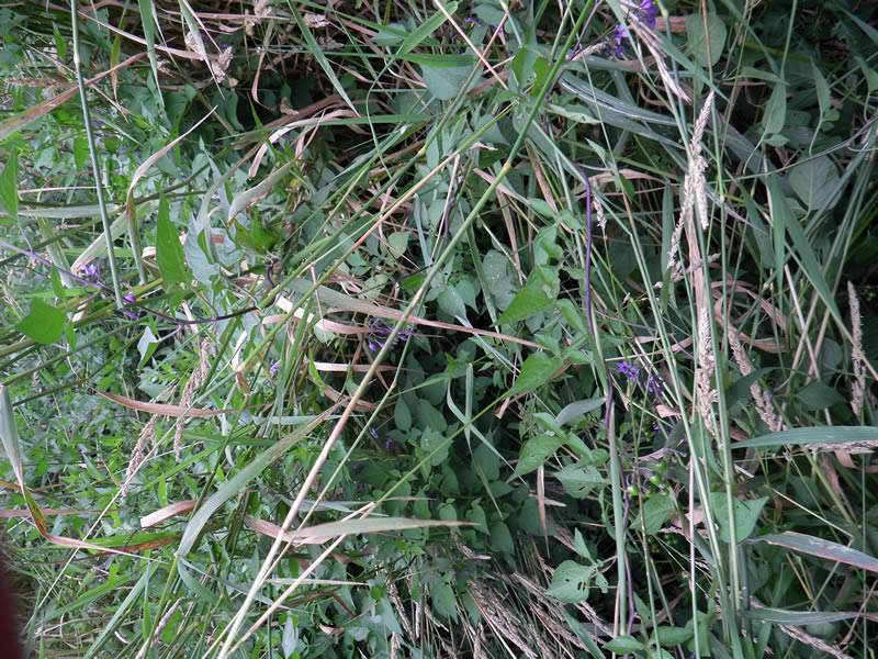
These non-native species were observerd at this site: Reed Canary Grass
�