Road Stream Crossing Site LTB-102
Little Traverse Bay Watershed, Unknown tributary of Bear River
Greenwood Rd and Haas
Bear Creek Twp,
Emmet County
Information collected by:
Site Location
GPS Coordinates: 45.35573016
, -84.92234731
Owned by Private
Fish Passability 0.5
Total Erosion: 0.2547 tons/year
Severity: Moderate
Year Inventoried: 2014
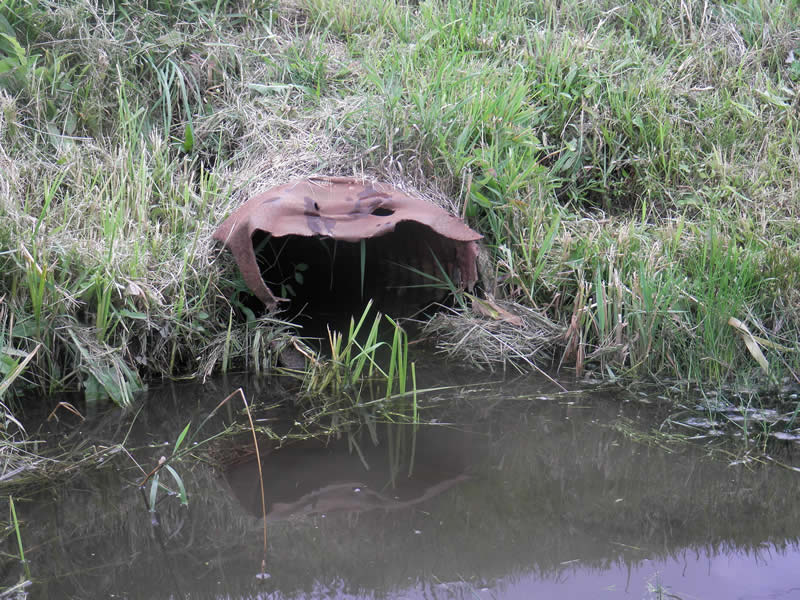
Inlet
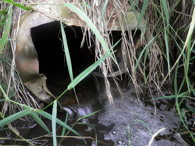
Outlet
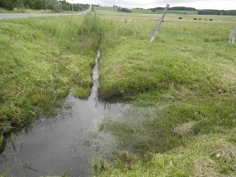
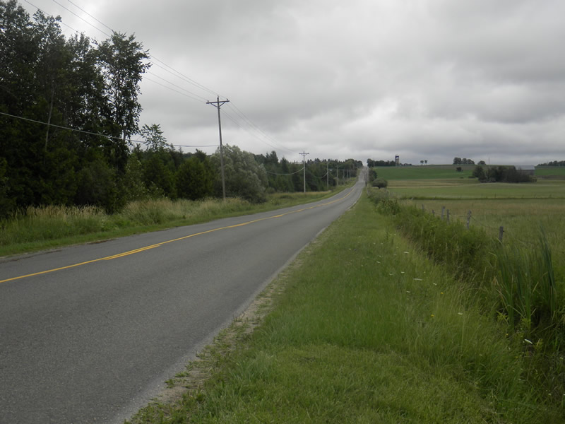
Upstream Conditions
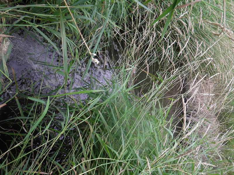
Downstream Conditions
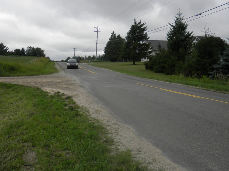
Road Approach - Left
Road Approach - Right
Crossing Information
Type of Crossing: culvert(s)
Number of Structures: 1
Structure Shape: Round
Inlet Type: Projecting
Outlet Type: At Stream Grade
Structure Material: Metal
Structure Substrate: Mixture
General Conditions: Poor
Structure Interior: corrugated
Structure is Rusted through
Dimensions of Structure: Length 40 ft.
, Width 1.33 ft.
, Height 1.083 ft.
Percentage Plugged:
Inlet: 1% to 25%
Outlet: 1% to 25%
Percentage Crushed:
Inlet: 1% to 25%
Outlet: 26% to 50%
Structure Inlet
Water Depth: 0.27 ft.
Embedded Depth of Structure: 0.02 ft.
Water Velocity*: 0.1 ft./sec.
Structure Outlet
Water Depth: 0.167 ft.
Embedded Depth of Structure: 0 ft.
Water Velocity*: 0.1 ft./sec.
*Water Velocities were measured 0.13 ft. below Surface
(with Meter)
Additional Comments
FARM. Old site ID: UT-16.
Stream Information
Stream Flow: Less than 1/2 Bankfull
Scour Pool: Length 30 ft.
, Width 15 ft.
, Depth 1 ft.
Upstream Pond: Length 5 ft.
, Width 5 ft.
, Depth 1 ft.
Riffle Information
Water Depth: 1.33 ft.
Bankfull Width: 25 ft.
Wetted Width: 20 ft.
Water Velocity: 1.7 ft./sec.
(Measured with Meter)
Dominant Substrate: Sand
Road Information
Paved
County Road
Road Condition: Good
Road Width at Culvert: 26.75 ft.
Location of Low Point: Other
Runoff Path: Ditch
Embankments
Upstream
Fill Depth: 5 ft.
Slope: 1:2
Downstream
Fill Depth: 5 ft.
Slope: More than 1:2
Approaches
Left Approach
Length: 400 ft.
Slope: 1% to 5%
Vegetation: Partial
LS Factor: 0.6
Erosion: 0.2122 tons/year
Right Approach
Length: 800 ft.
Slope: Less Than 1%
Vegetation: Partial
LS Factor: 0.06
Erosion: 0.0424 tons/year
Erosion Information
Total Erosion at Crossing: 0.2547 tons/year
Extent of Erosion: Stabilized
Summary Information
Fish Passability 0.5
A future visit to this site is recommended. low flows, check water quality due to proximity of farm/looks and smells disgusting.
�