Road Stream Crossing Site LTB-115
Little Traverse Bay Watershed, Bear River
McDougal Rd
Bear Creek Twp,
Emmet County
Information collected by:
Site Location
GPS Coordinates: 45.33890568
, -84.93509893
Fish Passability 0.5
Total Erosion: 2.832 tons/year
Severity: Severe
Year Inventoried: 2014
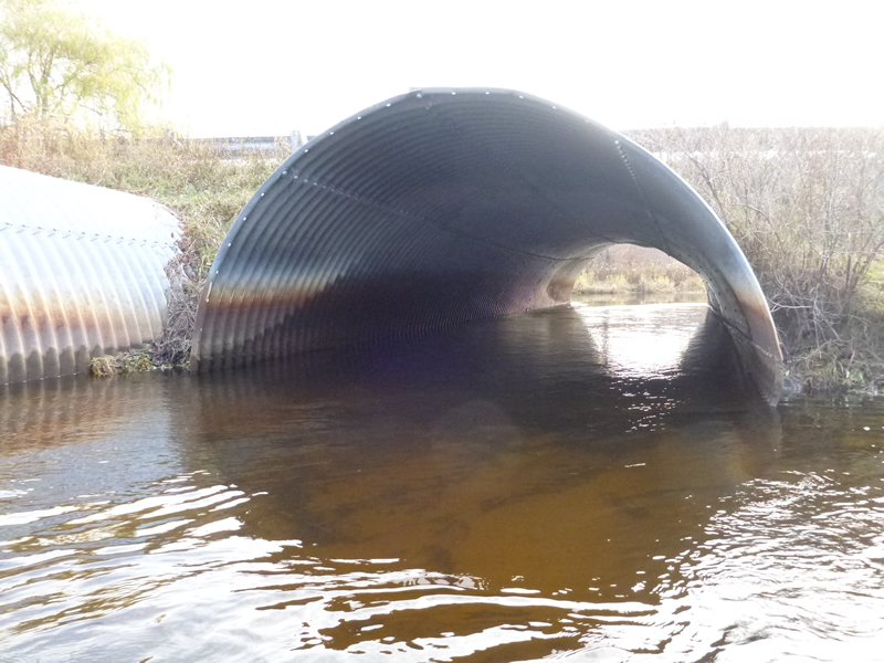
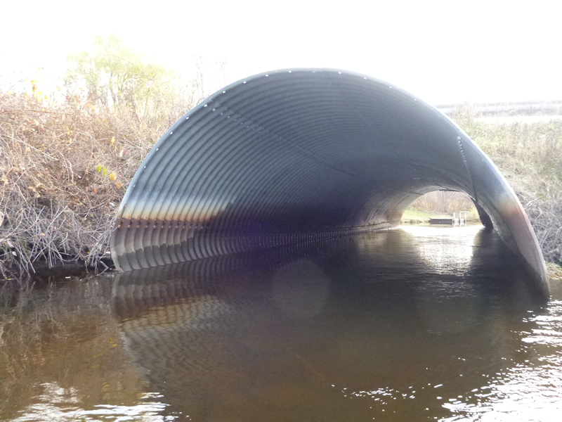
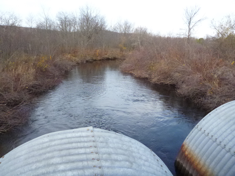
Inlet
Inlet
Inlet
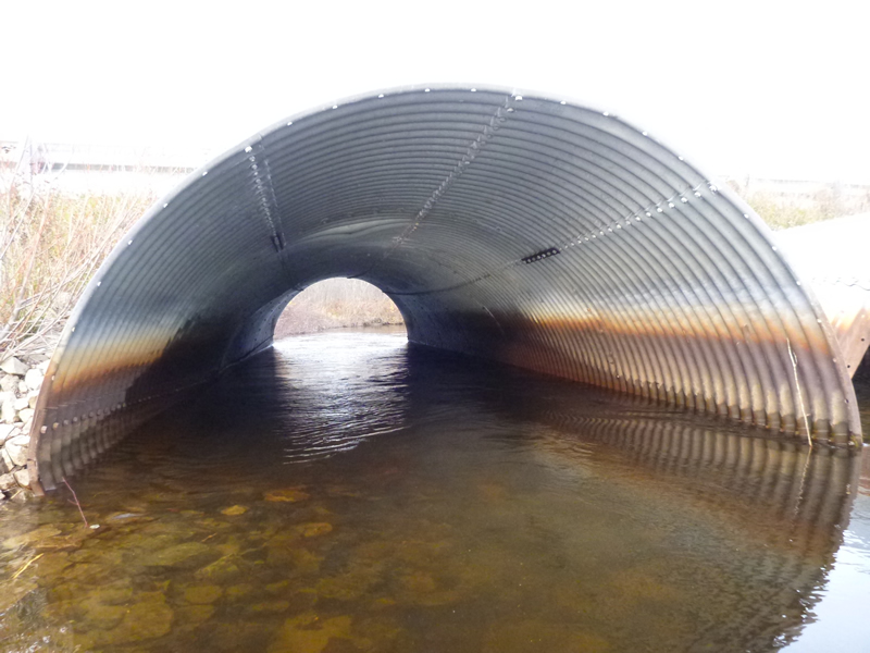
Outlet
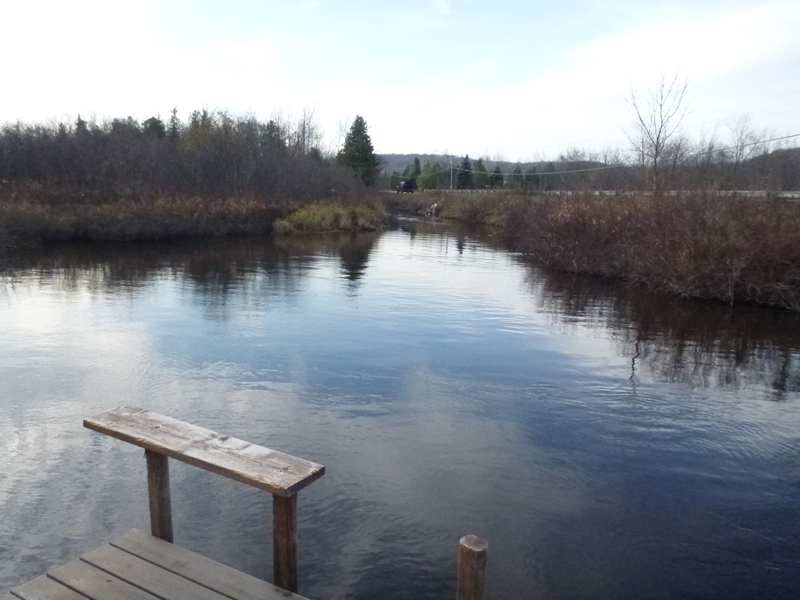
Upstream Conditions
Downstream Conditions
Road Approach - Left
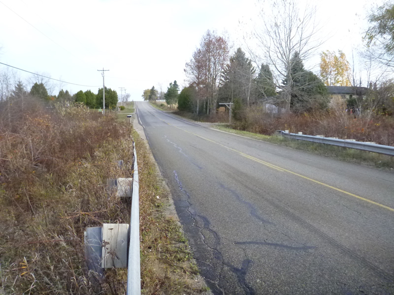
Road Approach - Right
Crossing Information
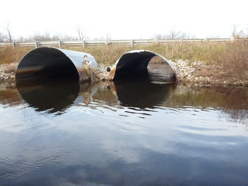
Type of Crossing: culvert(s)
Number of Structures: 2
Structure Shape: Ellipse
Inlet Type: Projecting
Structure Material: Metal
Structure Substrate: Mixture
General Conditions: Fair
Multiple Culverts/Spans | ||||
Culvert/Span | Width | Length | Height | Material |
1 |
14 ft. |
62 ft. |
9 ft. |
Metal |
2 |
13.5 ft. |
62 ft. |
7.5 ft. |
Metal |
Structure Interior: corrugated
Dimensions of Structure: Length 62 ft.
, Width 14 ft.
Percentage Plugged:
Inlet: 0%
Outlet: 0%
In Pipe: 0%
Percentage Crushed:
In Pipe: 1% to 25%
Structure Inlet
Water Depth: 2.2 ft.
Embedded Depth of Structure: 0.33 ft.
Water Velocity*: 2.23 ft./sec.
Structure Outlet
Water Depth: 2.9 ft.
Embedded Depth of Structure: 0.33 ft.
Water Velocity*: 1.48 ft./sec.
*Water Velocities were measured 0.6 ft. below Surface
(with Meter)
Additional Comments
Old site ID: E-3.
Stream Information
Stream Flow: Less than Bankfull
, Depth 50 ft.
Riffle Information
Water Depth: 3.5 ft.
Water Velocity: 1.01 ft./sec.
(Measured with Meter)
Dominant Substrate: cobble/gravel/sand/silt
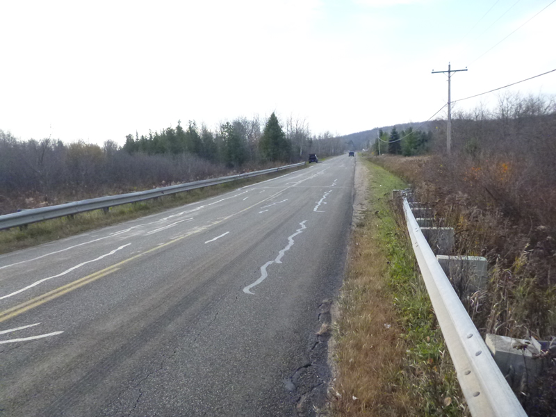
Road Information
Paved
Other Road
Road Condition: Fair
Road Width at Culvert: 31 ft.
Location of Low Point: Other
Runoff Path: Roadway
Embankments
Upstream
Fill Depth: 3 ft.
Slope: 1:1
Downstream
Fill Depth: 3 ft.
Slope: 1:1
Approaches
Left Approach
Length: 999 ft.
Slope: 1% to 5%
Vegetation: Heavy
LS Factor: 0.57
Erosion: 0.5834 tons/year
Right Approach
Length: 999 ft.
Slope: 6% to 10%
Vegetation: Heavy
LS Factor: 2.049
Erosion: 2.098 tons/year
Erosion Information
Total Erosion at Crossing: 2.832 tons/year
Extent of Erosion: Moderate
Notes: Location of Erosion 1: Streambank at adjacent property upstream
Location of Erosion 2: Streambank downstream, access to water
Location of Erosion | Erosion Dimensions | Eroded Material | Material Eroded | Total Erosion | ||
facing downstream | Length | Width | Depth | Reaching Stream? | (tons/year) | |
Right Downstream Embankment |
15 ft. |
1 ft. |
1 ft. |
yes |
Clay |
0.0735 |
Left Downstream Streambank |
10 ft. |
3 ft. |
1 ft. |
yes |
Sand |
0.077 |
Summary Information
Fish Passability 0.5
�