Road Stream Crossing Site LTB-119
Little Traverse Bay Watershed, Bear River
Click Rd
Bear Creek Twp,
Emmet County
Information collected by:
Site Location
GPS Coordinates: 45.33391561
, -84.92884848
Fish Passability 0.9
Total Erosion: 0.866 tons/year
Severity: Moderate
Year Inventoried: 2014
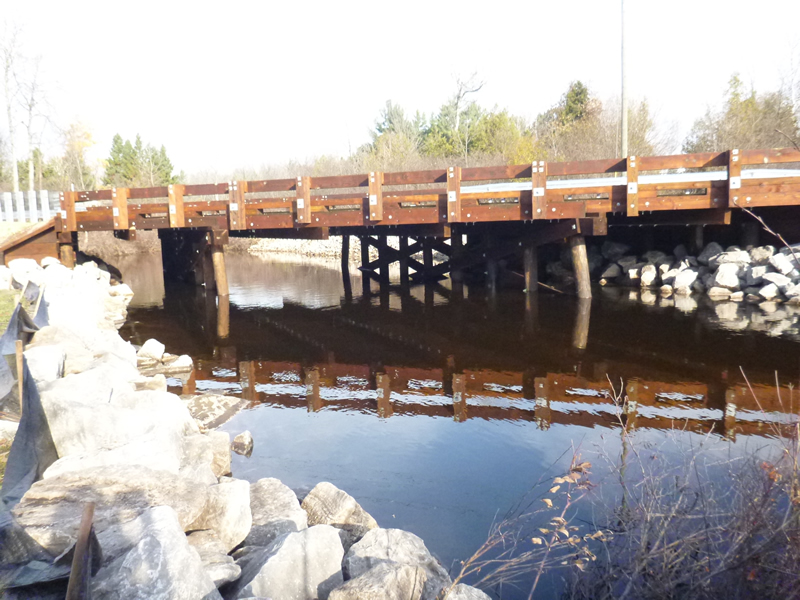
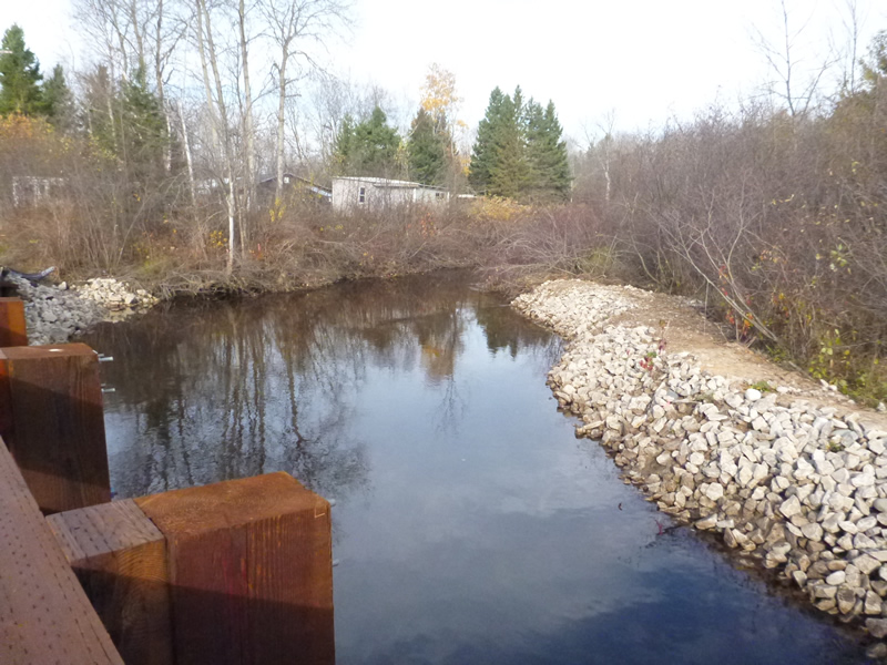
Inlet
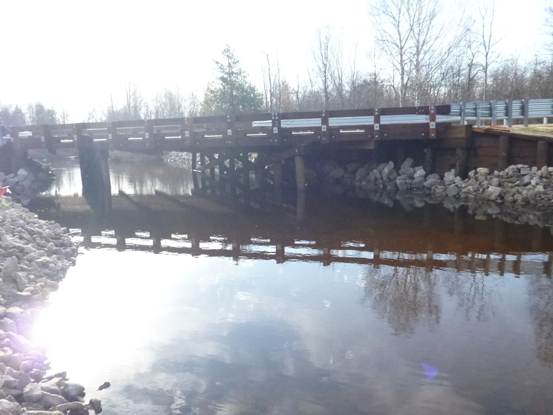
Outlet
Outlet
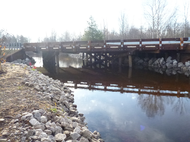
Upstream Conditions
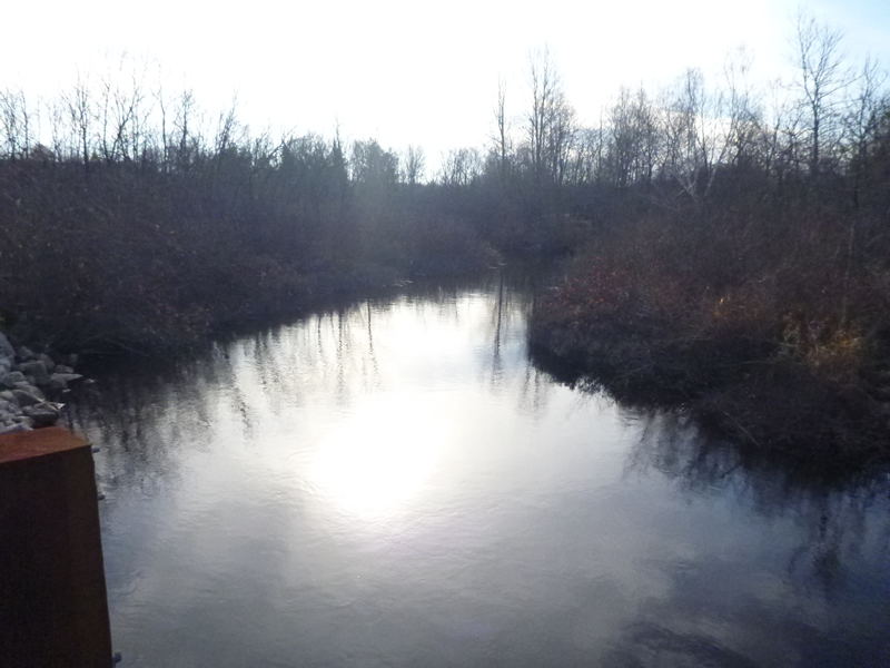
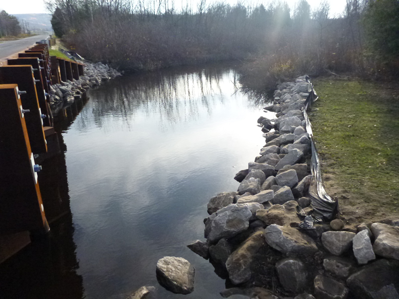
Downstream Conditions
Downstream Conditions
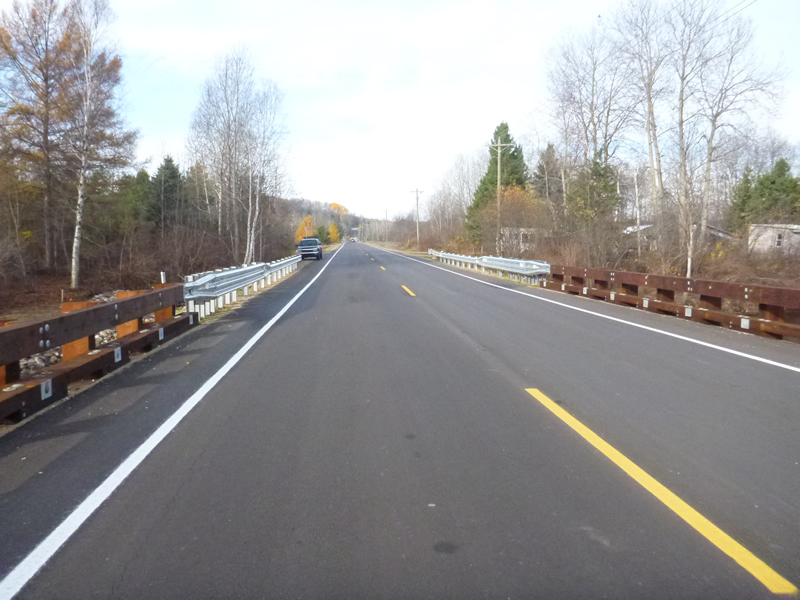
Road Approach - Left
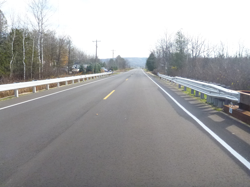
Road Approach - Right
Crossing Information
Type of Crossing: Bridge
Structure Material: Wood
General Conditions: New
Dimensions of Structure: Length 30 ft.
, Width 30 ft.
Structure Inlet
Water Depth: 6 ft.
Embedded Depth of Structure: 0 ft.
Water Velocity*: 0.2 ft./sec.
Structure Outlet
Water Depth: 6 ft.
Embedded Depth of Structure: 0 ft.
Water Velocity*: 0.2 ft./sec.
Additional Comments
Old site ID: E-2.
Stream Information
Stream Flow: Less than Bankfull
Riffle Information
Water Depth: 6 ft.
Bankfull Width: 30 ft.
Road Information
Paved
County Road
Road Condition: Good
Road Width at Culvert: 30.5 ft.
Location of Low Point: At Stream
Runoff Path: Ditch
Approaches
Left Approach
Length: 999 ft.
Slope: Less Than 1%
Vegetation: Partial
LS Factor: 0.06
Erosion: 0.0604 tons/year
Right Approach
Length: 999 ft.
Slope: 1% to 5%
Vegetation: Partial
LS Factor: 0.8
Erosion: 0.8056 tons/year
Erosion Information
Total Erosion at Crossing: 0.866 tons/year
Summary Information
Fish Passability 0.9
�