Road Stream Crossing Site LTB-138
Little Traverse Bay Watershed, Bear River
Bear River Rd
Melrose Twp,
Charlevoix County
Information collected by:
Site Location
GPS Coordinates: 45.29123665
, -84.91324104
Fish Passability 0.9
Structure is NOT Perched
Total Erosion: 1.6507 tons/year
Severity: Moderate
Year Inventoried: 2014
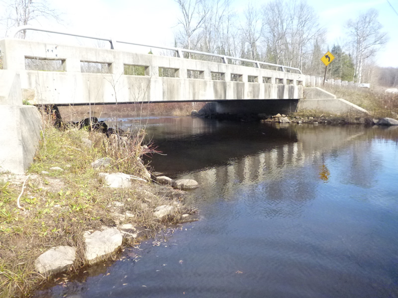
Inlet
Outlet
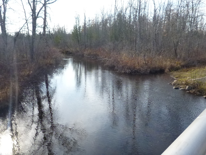
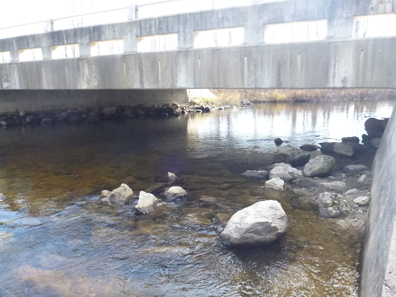
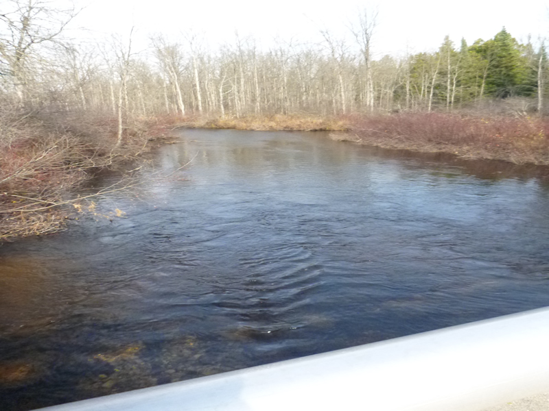
Upstream Conditions
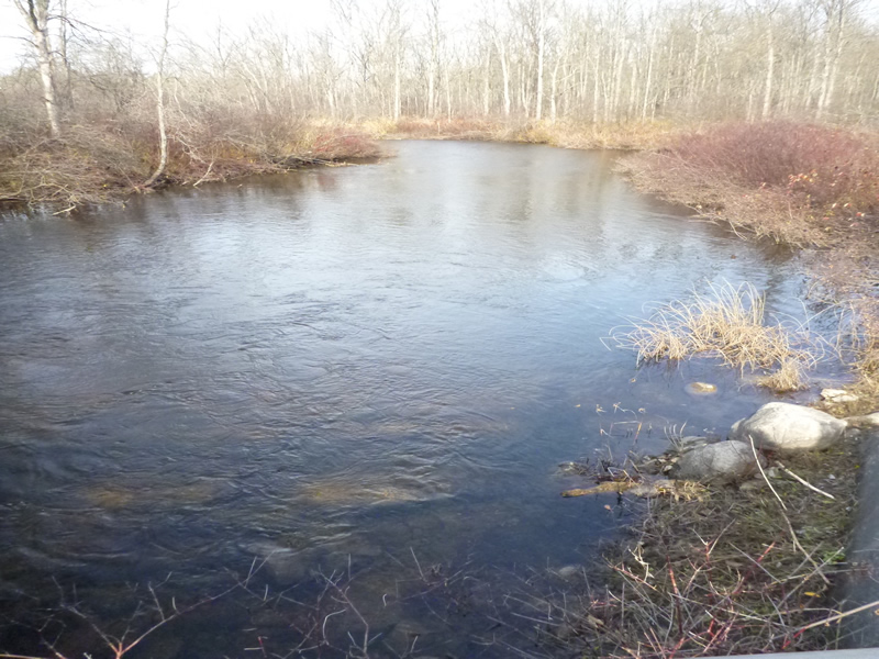
Downstream Conditions
Downstream Conditions
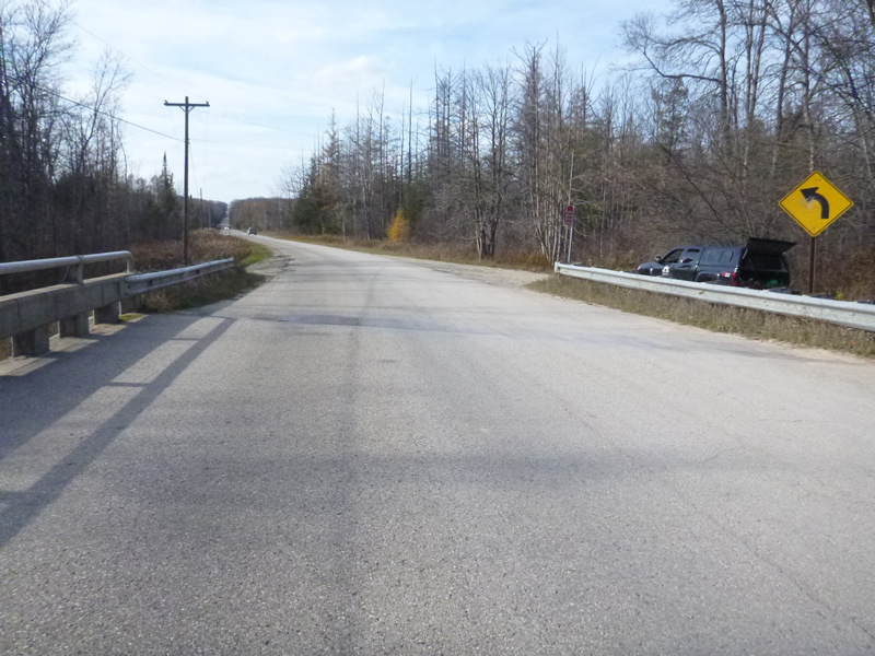
Road Approach - Left
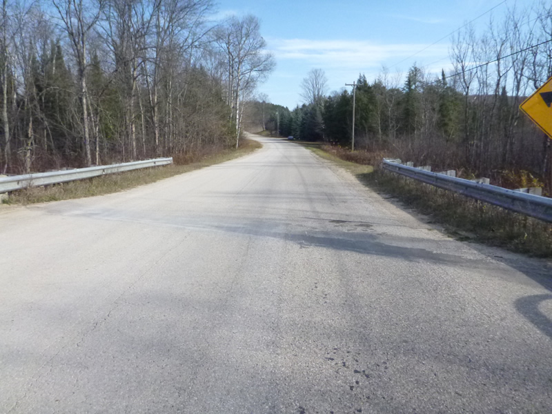
Road Approach - Right
Crossing Information
Type of Crossing: Bridge
Structure Material: Concrete
General Conditions: New
Dimensions of Structure: Length 20 ft.
, Width 10 ft.
Percentage Plugged:
Inlet: 0%
Outlet: 0%
Percentage Crushed:
Inlet: 0%
Outlet: 0%
Structure is NOT Perched
Structure Inlet
Water Depth: 2.8 ft.
Water Velocity*: 0.722 ft./sec.
Structure Outlet
Water Depth: 2.8 ft.
Water Velocity*: 0.722 ft./sec.
*Water Velocities were measured 0.6 ft. below Surface
Additional Comments
County: Emmet/Charlevoix Border. Old site ID: C-5.
Stream Information
Stream Flow: Less than Bankfull
Riffle Information
Water Depth: 2.8 ft.
Bankfull Width: 42 ft.
Wetted Width: 35.5 ft.
Water Velocity: 0.722 ft./sec.
(Measured with Meter)
Dominant Substrate: sand/organics
Road Information
Paved
County Road
Road Condition: Good
Road Width at Culvert: 30 ft.
Location of Low Point: Other
Runoff Path: Ditch
Embankments
Upstream
Fill Depth: 1 ft.
Slope: 1:1
Downstream
Fill Depth: 1 ft.
Slope: 1:1
Approaches
Left Approach
Length: 999 ft.
Slope: 1% to 5%
Vegetation: Partial
LS Factor: 0.8
Erosion: 0.7923 tons/year
Right Approach
Length: 999 ft.
Slope: 1% to 5%
Vegetation: Partial
LS Factor: 0.8
Erosion: 0.7923 tons/year
Erosion Information
Total Erosion at Crossing: 1.6507 tons/year
Extent of Erosion: Minor
Erosion is occurring and corrective actions can be installed to address the problem.
Notes: Photo: 104-0965 Streambank/boat access/steps
104-0966 Sediment accumulation on bridge
Location of Erosion | Erosion Dimensions | Eroded Material | Material Eroded | Total Erosion | ||
facing downstream | Length | Width | Depth | Reaching Stream? | (tons/year) | |
Left Upstream Streambank |
30 ft. |
5 ft. |
2 ft. |
yes |
Sand |
0.066 |
Summary Information
Fish Passability 0.9
A future visit to this site is recommended. Easy to address, should meet with road commission to discuss maintenance.
�