Road Stream Crossing Site LTB-143
Little Traverse Bay Watershed, Unknown tributary of Bear River
Maple Valley Rd
Melrose Twp,
Charlevoix County
Information collected by:
Site Location
GPS Coordinates: 45.28617143
, -84.93079469
Owned by Private
Fish Passability 0.5
Total Erosion: 2.3398 tons/year
Severity: Moderate
Year Inventoried: 2014
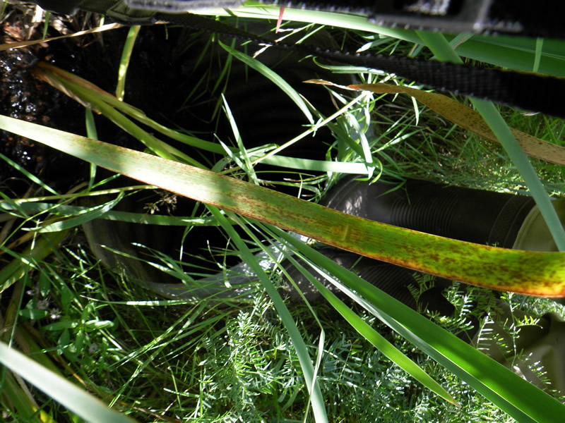
Inlet
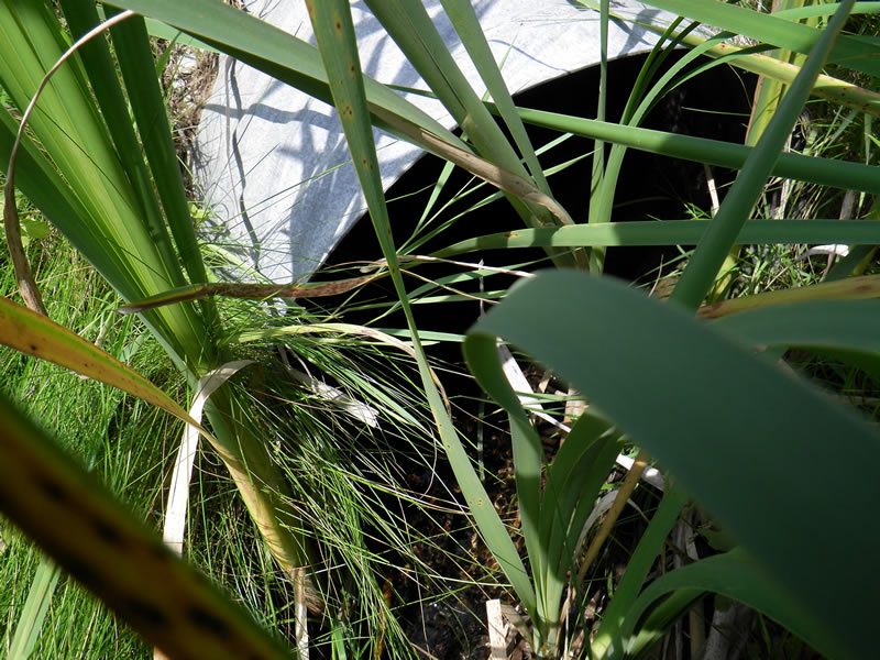
Outlet
Upstream Conditions
Downstream Conditions
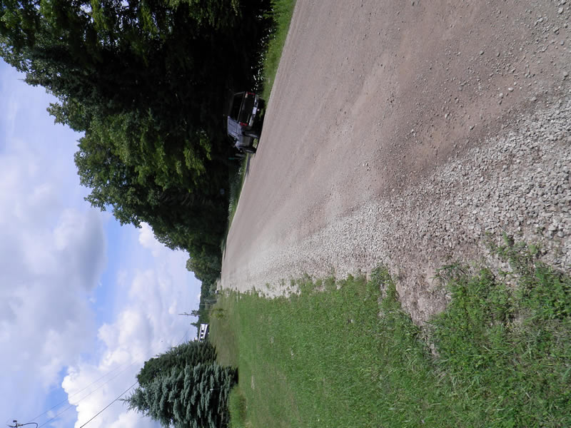
Road Approach - Left
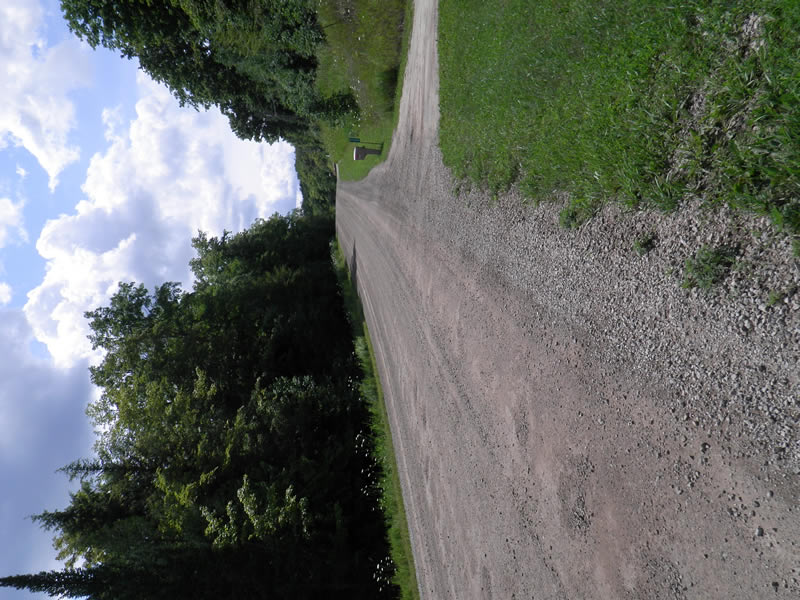
Road Approach - Right
Crossing Information
Type of Crossing: culvert(s)
Number of Structures: 1
Structure Shape: Round
Inlet Type: Projecting
Outlet Type: At Stream Grade
Structure Material: Metal
Structure Substrate: None
General Conditions: Good
Structure Interior: corrugated
Dimensions of Structure: Length 60 ft.
, Width 2 ft.
, Height 2 ft.
Structure Inlet
Water Depth: 0.04 ft.
Embedded Depth of Structure: 0 ft.
Water Velocity*: 0.2 ft./sec.
Structure Outlet
Water Depth: 0.167 ft.
Embedded Depth of Structure: 0.04 ft.
Water Velocity*: 0.4 ft./sec.
*Water Velocities were measured 0.02 ft. below Surface
(with Meter)
Additional Comments
05643. Old site ID: UT-23.
Stream Information
Stream Flow: Less than Bankfull
Riffle Information
Water Depth: 0.3 ft.
Bankfull Width: 2.083 ft.
Wetted Width: 1.33 ft.
Water Velocity: 0.05 ft./sec.
(Measured with Meter)
Dominant Substrate: Sand
Road Information
Gravel
County Road
Road Condition: Fair
Road Width at Culvert: 25.583 ft.
Location of Low Point: At Stream
Runoff Path: Ditch
Embankments
Upstream
Fill Depth: 10 ft.
Slope: 1:2
Downstream
Fill Depth: 10 ft.
Slope: 1:2
Approaches
Left Approach
Length: 200 ft.
Slope: 1% to 5%
Vegetation: Heavy
LS Factor: 0.43
Erosion: 0.6061 tons/year
Right Approach
Length: 200 ft.
Slope: 6% to 10%
Vegetation: Heavy
LS Factor: 1.23
Erosion: 1.7337 tons/year
Erosion Information
Total Erosion at Crossing: 2.3398 tons/year
Extent of Erosion: Stabilized
Summary Information
Fish Passability 0.5
�