Road Stream Crossing Site LTB-160
Little Traverse Bay Watershed, Schoofs Creek
Resort Pike Rd - "South"
Resort Twp,
Emmet County
Information collected by:
Site Location
GPS Coordinates: 45.32727931
, -84.99625229
Owned by Private
Fish Passability 0.9
Structure is NOT Perched
Total Erosion: 1.3757 tons/year
Severity: Moderate
Year Inventoried: 2014
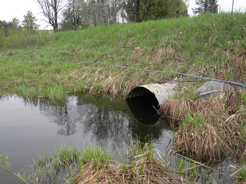
Inlet
Outlet
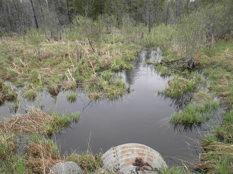
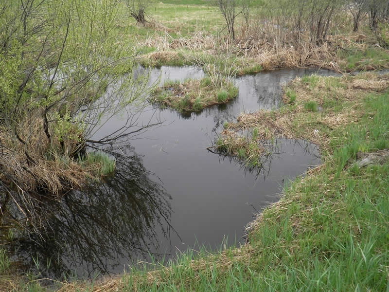
Upstream Conditions
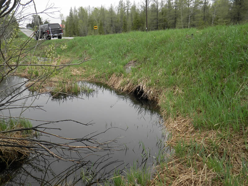
Downstream Conditions
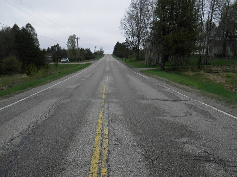
Road Approach - Left
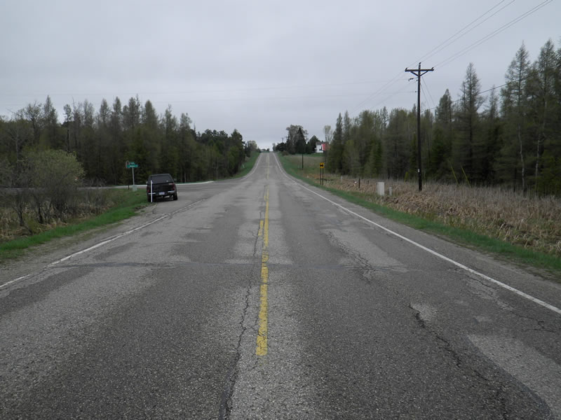
Road Approach - Right
Crossing Information
Type of Crossing: culvert(s)
Number of Structures: 1
Structure Shape: Round
Inlet Type: Projecting
Outlet Type: At Stream Grade
Structure Material: Metal
Structure Substrate: Sand
General Conditions: Fair
Structure Interior: corrugated
Dimensions of Structure: Length 52 ft.
, Width 2.96 ft.
, Height 3.05 ft.
Percentage Plugged:
Inlet: 0%
Outlet: 0%
In Pipe: 0%
Percentage Crushed:
Inlet: 0%
Outlet: 0%
In Pipe: 0%
Structure is NOT Perched
Structure Inlet
Water Depth: 2.3 ft.
Embedded Depth of Structure: 0 ft.
Water Velocity*: 0.9 ft./sec.
Structure Outlet
Water Depth: 2.4 ft.
Embedded Depth of Structure: 0.083 ft.
Water Velocity*: 0.8 ft./sec.
*Water Velocities were measured 0.67 ft. below Surface
(with Meter)
Additional Comments
At Williams Rd Corner. Old site ID: SC-2.
Stream Information
Stream Flow: Bankfull
Scour Pool: Length 6 ft.
, Width 8 ft.
, Depth 3 ft.
Upstream Pond: Length 5 ft.
, Width 7 ft.
, Depth 2.4 ft.
Riffle Information
Water Depth: 1.2 ft.
Bankfull Width: 10 ft.
Wetted Width: 7.5 ft.
Water Velocity: 0.6 ft./sec.
(Measured with Meter)
Dominant Substrate: sand/organics
Road Information
Paved
County Road
Road Condition: Good
Road Width at Culvert: 34 ft.
Location of Low Point: At Stream
Runoff Path: Ditch
Embankments
Upstream
Fill Depth: 3.7 ft.
Slope: 1:1.5
Downstream
Fill Depth: 4 ft.
Slope: 1:1.5
Approaches
Left Approach
Length: 400 ft.
Slope: 6% to 10%
Vegetation: Heavy
LS Factor: 1.53
Erosion: 0.6879 tons/year
Right Approach
Length: 400 ft.
Slope: 6% to 10%
Vegetation: Heavy
LS Factor: 1.53
Erosion: 0.6879 tons/year
Erosion Information
Total Erosion at Crossing: 1.3757 tons/year
Notes: NA
Summary Information
Fish Passability 0.9
�