Road Stream Crossing Site LTB-163
Little Traverse Bay Watershed, Schoofs Creek
Intertown Rd
Resort Twp,
Emmet County
Information collected by:
Site Location
GPS Coordinates: 45.34131166
, -84.99797363
Fish Passability 1
Structure is NOT Perched
Total Erosion: 3.0362 tons/year
5 Upstream Miles
Severity: Severe
Year Inventoried: 2014
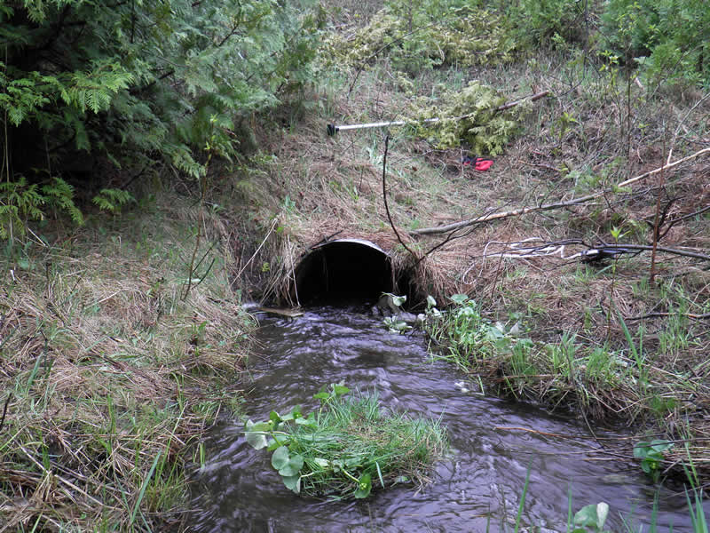
Inlet
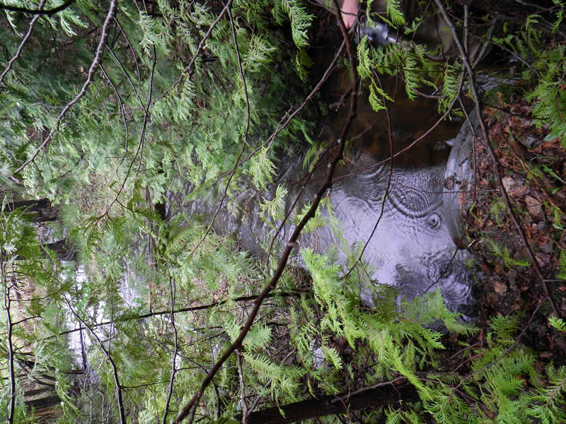
Outlet
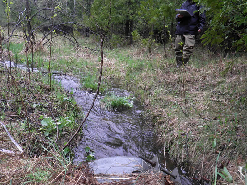
Upstream Conditions
Downstream Conditions
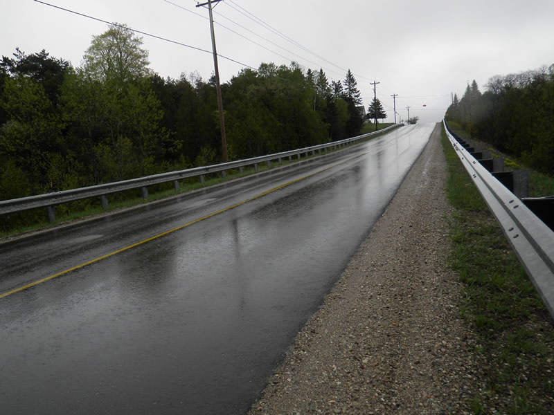
Road Approach - Left
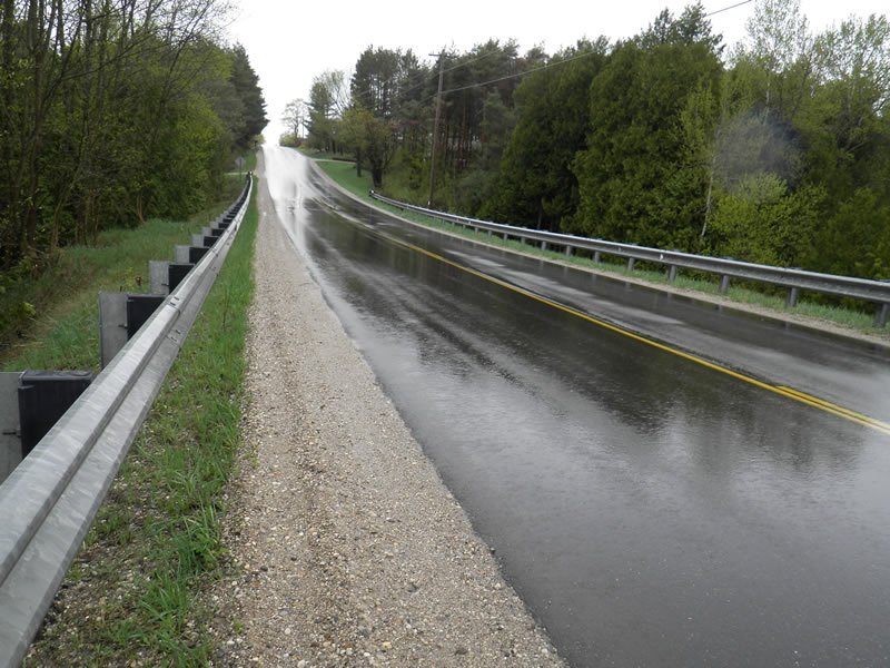
Road Approach - Right
Crossing Information
Type of Crossing: culvert(s)
Number of Structures: 1
Structure Shape: Round
Inlet Type: Projecting
Outlet Type: At Stream Grade
Structure Material: Metal
Structure Substrate: Rock
General Conditions: Good
Structure Interior: corrugated
Dimensions of Structure: Length 85 ft.
, Width 2.75 ft.
, Height 1.8 ft.
Structure is NOT Perched
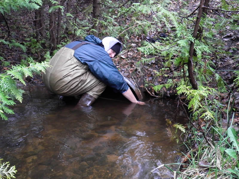
Structure Inlet
Water Depth: 0.6 ft.
Embedded Depth of Structure: 0.5 ft.
Water Velocity*: 1.1 ft./sec.
Structure Outlet
Water Depth: 0.8 ft.
Embedded Depth of Structure: 0.5 ft.
Water Velocity*: 0.2 ft./sec.
*Water Velocities were measured 0.67 ft. below Surface
(with Meter)
Additional Comments
Old site ID: SC-5
Stream Information
Stream Flow: More than Bankfull
Scour Pool: Length 0.5 ft.
, Width 6 ft.
Riffle Information
Water Depth: 0.5 ft.
Bankfull Width: 4 ft.
Wetted Width: 2.17 ft.
Water Velocity: 1.3 ft./sec.
(Measured with Meter)
Dominant Substrate: sand/organics/silt
Road Information
Paved
County Road
Road Condition: Good
Road Width at Culvert: 26.5 ft.
Location of Low Point: Other
Runoff Path: Ditch
Embankments
Upstream
Fill Depth: 20 ft.
Slope: Vertical
Downstream
Fill Depth: 25 ft.
Slope: Vertical
Approaches
Left Approach
Length: 500 ft.
Slope: More Than 10%
Vegetation: Heavy
LS Factor: 4.343
Erosion: 1.9021 tons/year
Right Approach
Length: 700 ft.
Slope: 6% to 10%
Vegetation: Heavy
LS Factor: 1.825
Erosion: 1.1191 tons/year
Erosion Information
Total Erosion at Crossing: 3.0362 tons/year
Extent of Erosion: Minor
Notes: Minor to moderate, little material reaching stream.
Location of Erosion | Erosion Dimensions | Eroded Material | Material Eroded | Total Erosion | ||
facing downstream | Length | Width | Depth | Reaching Stream? | (tons/year) | |
Left Downstream Ditch |
15 ft. |
6 ft. |
1 ft. |
yes |
Gravel |
0.015 |
Summary Information
Fish Passability 1
5 Upstream Miles
A future visit to this site is recommended. Water fills culvert to top 10' after entering. Couldn't determine whether if plugged or crushed.
�