Road Stream Crossing Site LTB-202
Little Traverse Bay Watershed, Fineout Creek
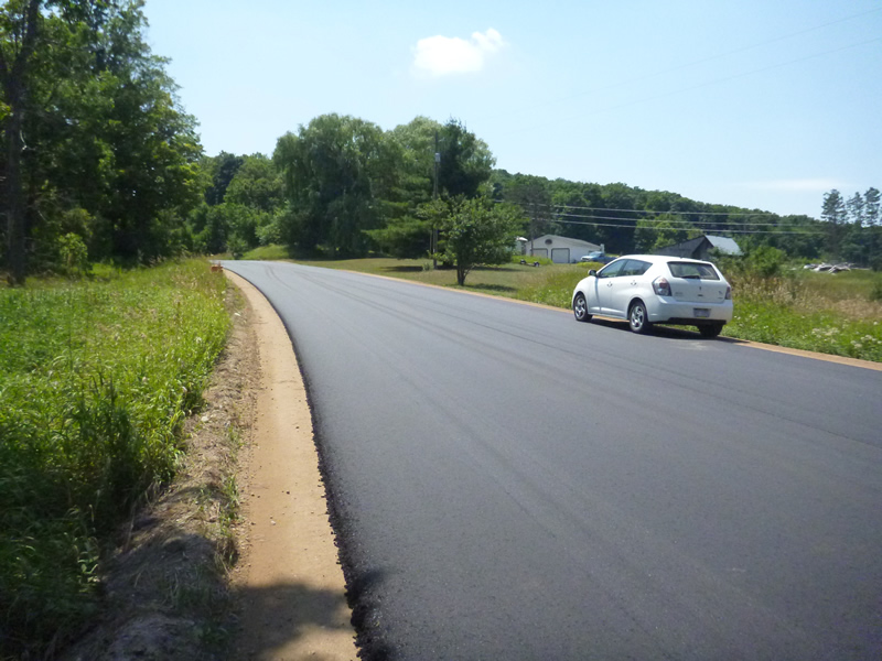
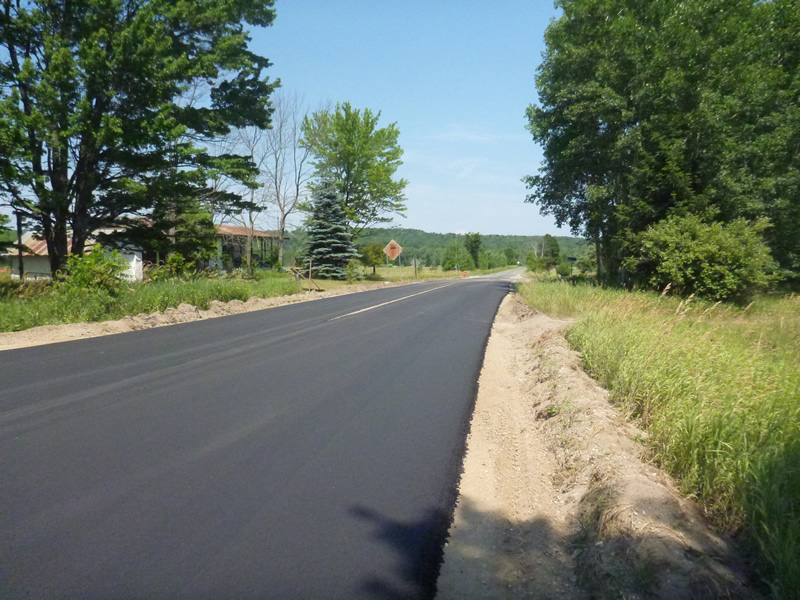
Old State Rd
Melrose Twp,
Charlevoix County
Information collected by:
Site Location
GPS Coordinates: 45.23173189
, -84.96026509
Fish Passability 0.9
Total Erosion: 0.0595 tons/year
Severity: Minor
Year Inventoried: 2014
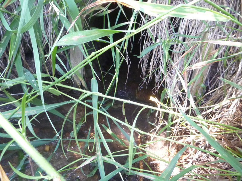
Inlet
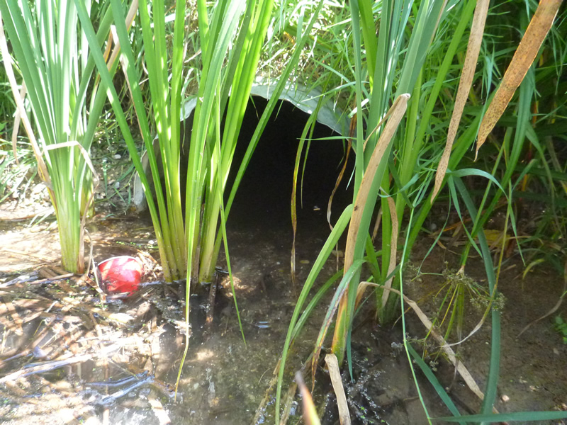
Outlet
Upstream Conditions
Downstream Conditions
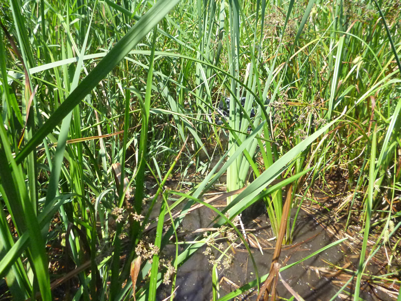
Road Approach - Left
Road Approach - Right
Crossing Information
Type of Crossing: culvert(s)
Number of Structures: 1
Structure Shape: Round
Inlet Type: Projecting
Outlet Type: At Stream Grade
Structure Material: Metal
Structure Substrate: Mixture
General Conditions: Fair
Structure Interior: corrugated
Dimensions of Structure: Length 54 ft.
, Width 1.6 ft.
, Height 1.6 ft.
Percentage Plugged:
Inlet: 1% to 25%
Outlet: 1% to 25%
In Pipe: 1% to 25%
Structure Inlet
Water Depth: 0.33 ft.
Embedded Depth of Structure: 0.17 ft.
Water Velocity*: 0.6 ft./sec.
Structure Outlet
Water Depth: 0.35 ft.
Embedded Depth of Structure: 0.08 ft.
Water Velocity*: 0.4 ft./sec.
*Water Velocities were measured at the Surface
(with Meter)
Additional Comments
Old site ID: FO-9.
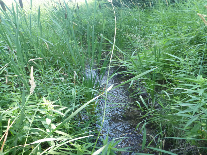
Stream Information
Stream Flow: Less than 1/2 Bankfull
Riffle Information
Water Depth: 0.34 ft.
Bankfull Width: 14 ft.
Wetted Width: 13 ft.
Water Velocity: 0.1 ft./sec.
(Measured with Meter)
Dominant Substrate: Sand
Road Information
Paved
State Road
Road Condition: Good
Road Width at Culvert: 30 ft.
Location of Low Point: At Stream
Runoff Path: Roadway
Embankments
Upstream
Fill Depth: 7 ft.
Slope: 1:2
Downstream
Fill Depth: 11 ft.
Slope: 1:1.5
Approaches
Left Approach
Length: 150 ft.
Slope: 1% to 5%
Vegetation: Heavy
LS Factor: 0.4
Erosion: 0.0595 tons/year
Right Approach
Length: 0 ft.
Slope: Less Than 1%
Vegetation: Heavy
LS Factor: 0.05
Erosion: 0 tons/year
Erosion Information
Total Erosion at Crossing: 0.0595 tons/year
Notes: None.
Summary Information
Fish Passability 0.9
�