Road Stream Crossing Site LTB-205
Little Traverse Bay Watershed, Unknown tributary of Walloon Lake
Howard Rd
Bear Creek Twp,
Emmet County
Information collected by:
Site Location
GPS Coordinates: 45.29492032
, -84.9556506
Owned by Private
Fish Passability 0
Perch Height: 0.67 ft.
Total Erosion: 0.6707 tons/year
Severity: Severe
Year Inventoried: 2014
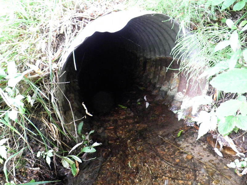
Inlet
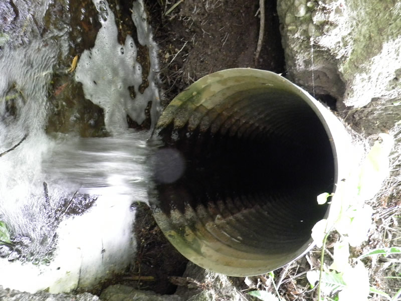
Outlet
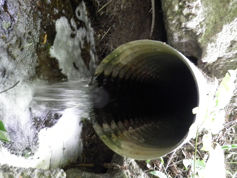
Outlet
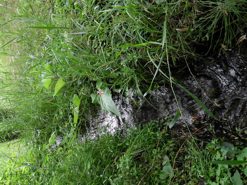
Upstream Conditions
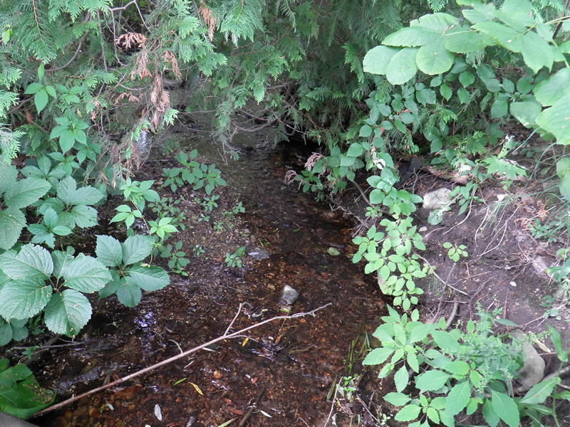
Downstream Conditions
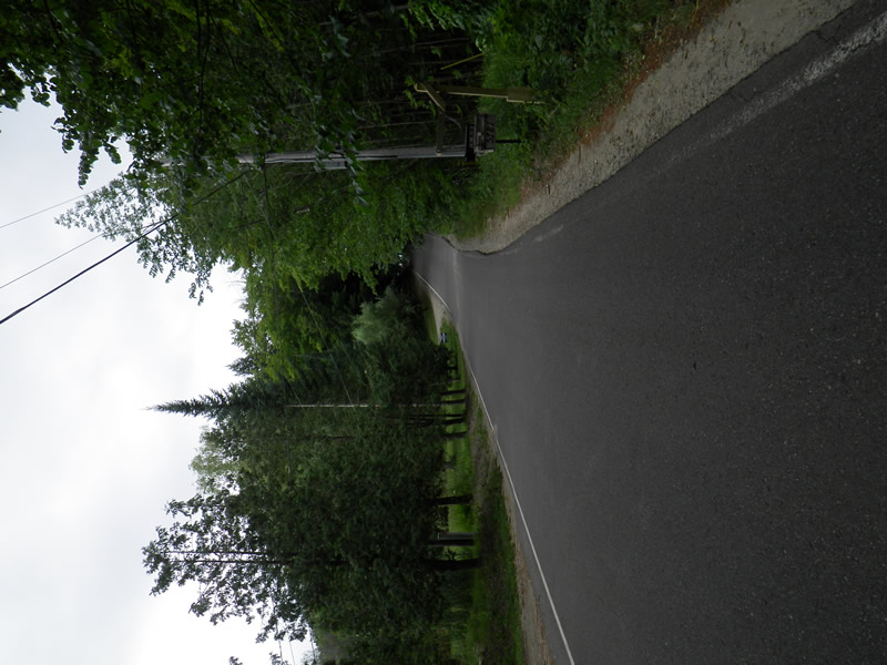
Road Approach - Left
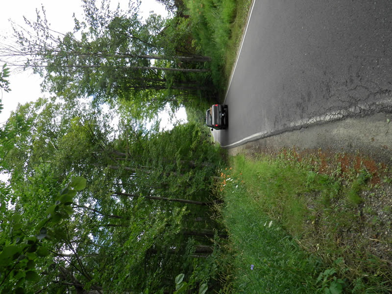
Road Approach - Right
Crossing Information
Type of Crossing: culvert(s)
Number of Structures: 1
Structure Shape: Round
Inlet Type: Projecting
Outlet Type: Freefall into Pool
Structure Material: Metal
Structure Substrate: None
General Conditions: Good
Structure Interior: corrugated
Structure is Rusted through
Dimensions of Structure: Length 40 ft.
, Width 1.5 ft.
, Height 1.42 ft.
Percentage Plugged:
In Pipe: 1% to 25%
Percentage Crushed:
In Pipe: 1% to 25%
Perch Height: 0.67 ft.
Structure Inlet
Water Depth: 0.25 ft.
Embedded Depth of Structure: 0.167 ft.
Water Velocity*: 0.6 ft./sec.
Structure Outlet
Water Depth: 1.04 ft.
Embedded Depth of Structure: 0 ft.
Water Velocity*: 2.4 ft./sec.
*Water Velocities were measured 0.125 ft. below Surface
(with Meter)
Additional Comments
5761 Howard. Old site ID: E-5W.
Stream Information
Stream Flow: Less than 1/2 Bankfull
Scour Pool: Length 2.5 ft.
, Width 3.5 ft.
, Depth 0.67 ft.
Riffle Information
Water Depth: 1.42 ft.
Bankfull Width: 8.92 ft.
Wetted Width: 5.5 ft.
Water Velocity: 0.5 ft./sec.
(Measured with Meter)
Dominant Substrate: Gravel
Road Information
Paved
County Road
Road Condition: Good
Road Width at Culvert: 16.583 ft.
Location of Low Point: At Stream
Runoff Path: Roadway
Embankments
Upstream
Fill Depth: 2.5 ft.
Slope: More than 1:2
Downstream
Fill Depth: 5 ft.
Slope: More than 1:2
Approaches
Left Approach
Length: 500 ft.
Slope: 6% to 10%
Vegetation: Partial
LS Factor: 2.25
Erosion: 0.6167 tons/year
Right Approach
Length: 150 ft.
Slope: 1% to 5%
Vegetation: Partial
LS Factor: 0.44
Erosion: 0.0362 tons/year
Erosion Information
Total Erosion at Crossing: 0.6707 tons/year
Extent of Erosion: Moderate
Location of Erosion | Erosion Dimensions | Eroded Material | Material Eroded | Total Erosion | ||
facing downstream | Length | Width | Depth | Reaching Stream? | (tons/year) | |
Right Downstream Embankment |
6 ft. |
3 ft. |
0.25 ft. |
yes |
Silt |
0.0089 |
Left Downstream Embankment |
6 ft. |
3 ft. |
0.25 ft. |
yes |
Silt |
0.0089 |
Summary Information
Fish Passability 0
Fish Passage is an area of concern for this site.
fast!
�