Road Stream Crossing Site LTB-206
Little Traverse Bay Watershed, Unknown tributary of Walloon Lake
US-131
Bear Creek Twp,
Emmet County
Information collected by:
Site Location
GPS Coordinates: 45.31277712
, -84.96356393
Owned by Private
Fish Passability 0
Perch Height: 0.87 ft.
Total Erosion: 1.5719 tons/year
Severity: Severe
Year Inventoried: 2014
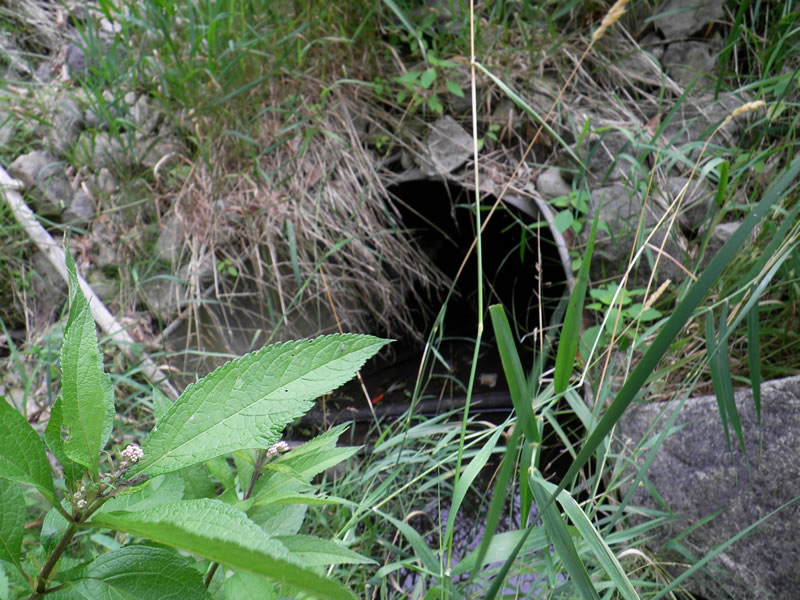
Inlet
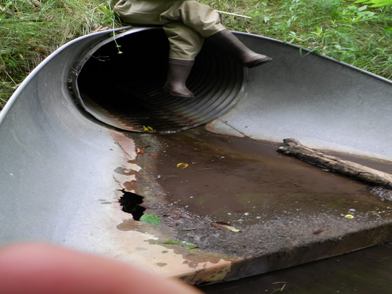
Outlet
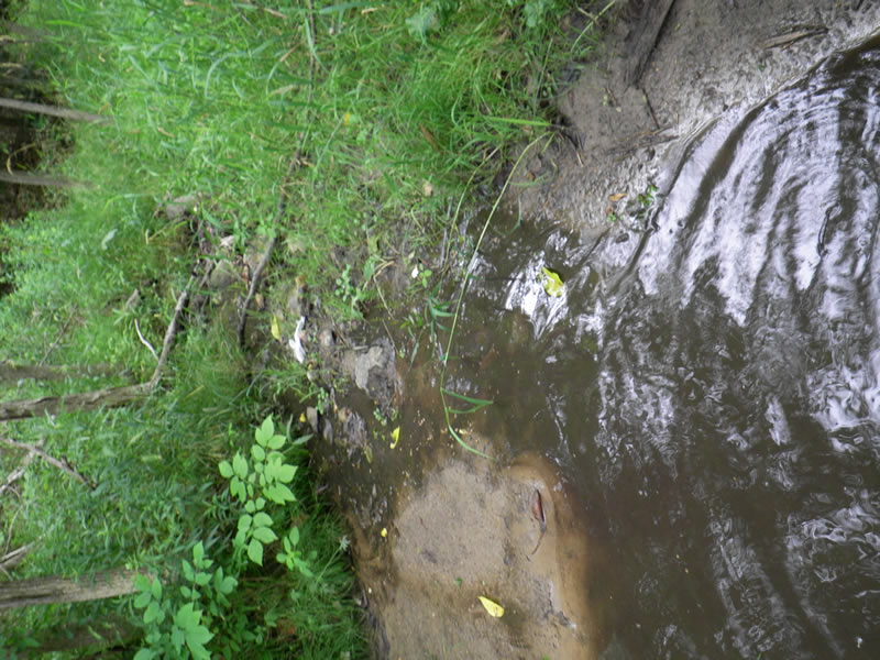
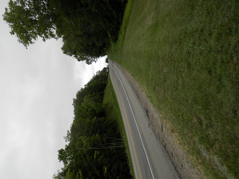
Upstream Conditions
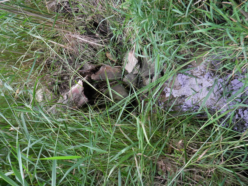
Downstream Conditions
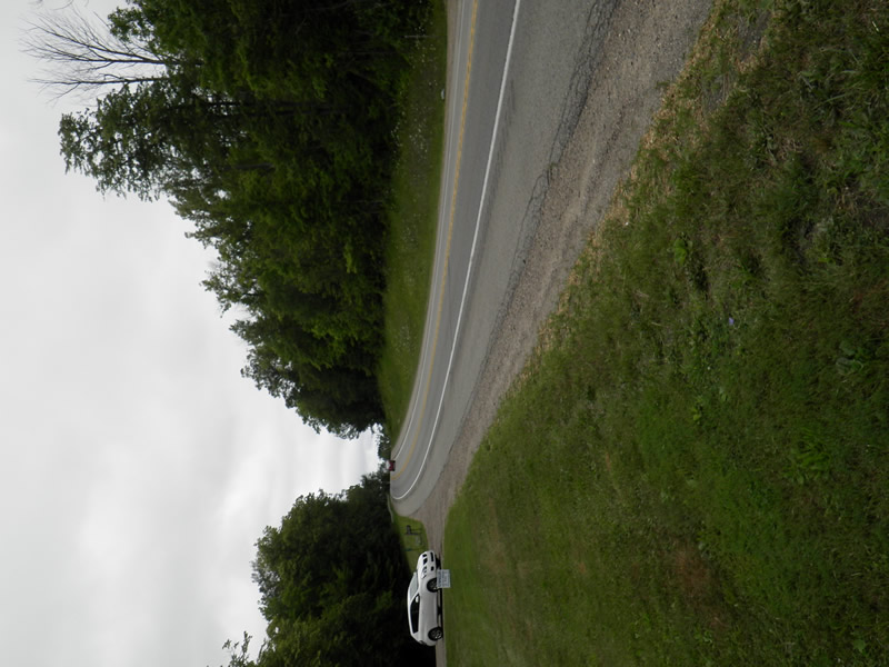
Road Approach - Left
Road Approach - Right
Crossing Information
Type of Crossing: culvert(s)
Number of Structures: 1
Structure Shape: Round
Inlet Type: Apron
Outlet Type: At Stream Grade
Structure Material: Metal
Structure Substrate: None
General Conditions: Poor
Dimensions of Structure: Length 195 ft.
, Width 208 ft.
, Height 208 ft.
Perch Height: 0.87 ft.
Structure Inlet
Water Depth: 0.35 ft.
Embedded Depth of Structure: 0.167 ft.
Water Velocity*: 0 ft./sec.
Structure Outlet
Water Depth: 0.04 ft.
Embedded Depth of Structure: 0 ft.
Water Velocity*: 0.2 ft./sec.
*Water Velocities were measured 0.17 ft. below Surface
(with Meter)
Additional Comments
4412 US 131, between Greeg/Pine and Gruler. Old site ID: UT-19.
Stream Information
Stream Flow: Less than 1/2 Bankfull
Scour Pool: Length 5 ft.
, Width 8 ft.
, Depth 1.2 ft.
Riffle Information
Water Depth: 0.8 ft.
Bankfull Width: 9.83 ft.
Wetted Width: 8.42 ft.
Water Velocity: 0.05 ft./sec.
(Measured with Meter)
Dominant Substrate: Sand
Road Information
Paved
Federal Road
Road Condition: Good
Road Width at Culvert: 50 ft.
Location of Low Point: At Stream
Runoff Path: Ditch
Embankments
Upstream
Fill Depth: 60 ft.
Slope: 1:2
Downstream
Fill Depth: 60 ft.
Slope: 1:2
Approaches
Left Approach
Length: 300 ft.
Slope: 6% to 10%
Vegetation: Heavy
LS Factor: 1.4
Erosion: 0.6942 tons/year
Right Approach
Length: 300 ft.
Slope: 6% to 10%
Vegetation: Partial
LS Factor: 1.77
Erosion: 0.8777 tons/year
Erosion Information
Total Erosion at Crossing: 1.5719 tons/year
Extent of Erosion: Stabilized
Summary Information
Fish Passability 0
�