Road Stream Crossing Site LTB-207
Little Traverse Bay Watershed, Unknown tributary of Walloon Lake
US-131
Bear Creek Twp,
Emmet County
Information collected by:
Site Location
GPS Coordinates: 45.29482395
, -84.94757346
Owned by Private
Fish Passability 0.5
Total Erosion: 0 tons/year
Severity: Moderate
Year Inventoried: 2014
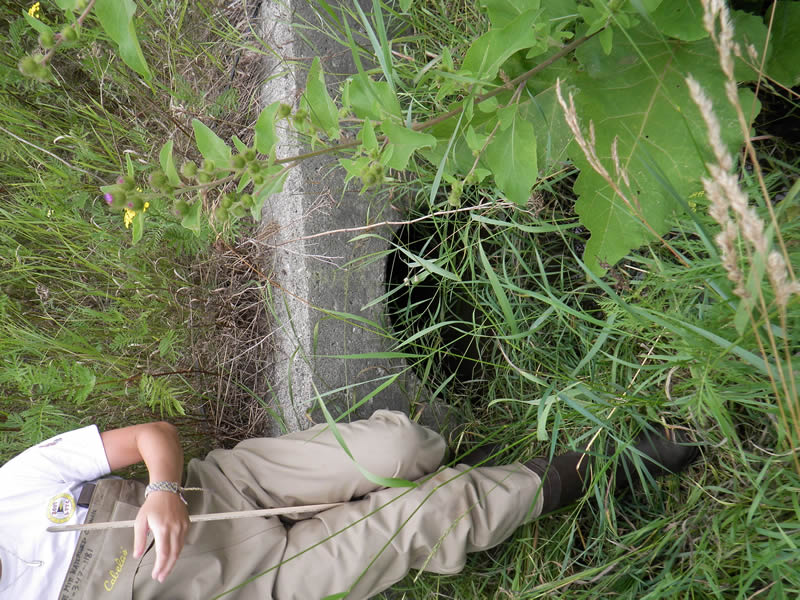
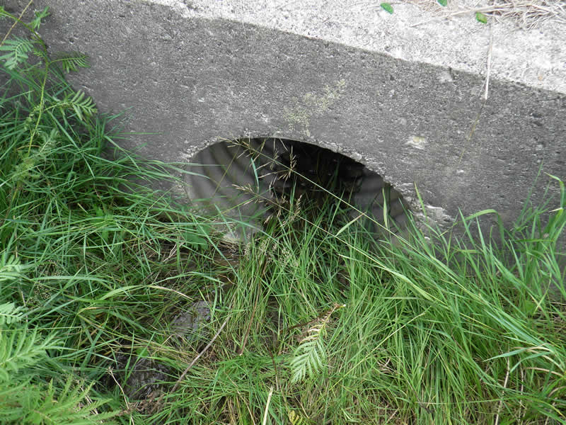
Inlet
Outlet
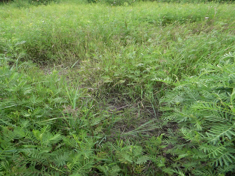
Upstream Conditions
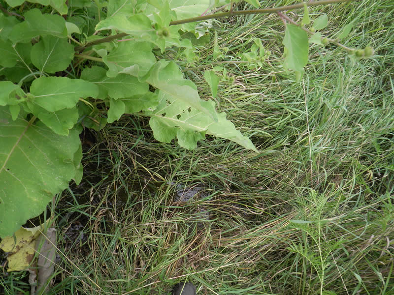
Downstream Conditions
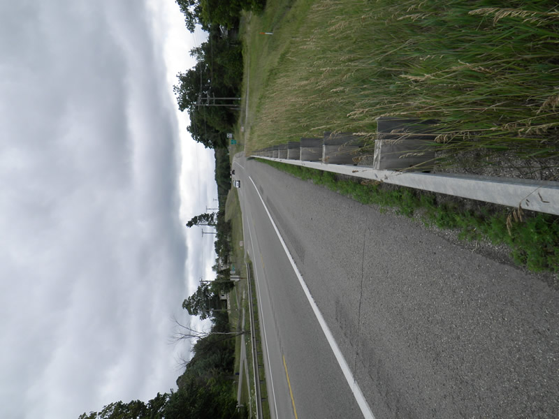
Road Approach - Left
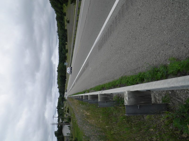
Road Approach - Right
Crossing Information
Type of Crossing: culvert(s)
Number of Structures: 1
Structure Shape: Round
Inlet Type: Headwall
Outlet Type: At Stream Grade
Structure Material: Metal
Structure Substrate: Sand
General Conditions: Good
Structure Interior: corrugated
Dimensions of Structure: Length 110 ft.
, Width 2 ft.
, Height 2.67 ft.
Structure Inlet
Water Depth: 0.02 ft.
Embedded Depth of Structure: 0 ft.
Water Velocity*: 0.1 ft./sec.
Structure Outlet
Water Depth: 0.167 ft.
Embedded Depth of Structure: 0.583 ft.
Water Velocity*: 0 ft./sec.
*Water Velocities were measured 0.01 ft. below Surface
(with Meter)
Additional Comments
5820 US 131, next to Bear River Rd. Old site ID: UT-20.
Stream Information
Stream Flow: Less than Bankfull
Riffle Information
Water Depth: 0.04 ft.
Bankfull Width: 2 ft.
Wetted Width: 1.42 ft.
Water Velocity: 0.1 ft./sec.
(Measured with Meter)
Dominant Substrate: Organics
Road Information
Paved
Federal Road
Road Condition: Good
Road Width at Culvert: 50 ft.
Location of Low Point: Other
Runoff Path: Ditch
Embankments
Upstream
Fill Depth: 30 ft.
Slope: 1:1.5
Downstream
Fill Depth: 30 ft.
Slope: 1:1.5
Approaches
Left Approach
Length: 0 ft.
Slope: Less Than 1%
Vegetation: Partial
LS Factor: 0.05
Erosion: 0 tons/year
Right Approach
Length: 0 ft.
Slope: Less Than 1%
Vegetation: Partial
LS Factor: 0.05
Erosion: 0 tons/year
Erosion Information
Total Erosion at Crossing: 0 tons/year
Extent of Erosion: Stabilized
Summary Information
Fish Passability 0.5
�