Road Stream Crossing Site LTB-208
Little Traverse Bay Watershed, Fineout Creek
Shadow Trail Rd
Melrose Twp,
Charlevoix County
Information collected by:
Site Location
GPS Coordinates: 45.25056335
, -84.96943806
Owned by Private
Fish Passability 0.9
Total Erosion: 0.7581 tons/year
Severity: Severe
Year Inventoried: 2014
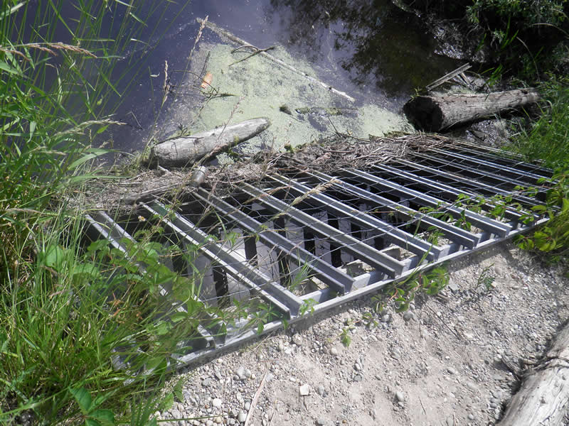
Inlet
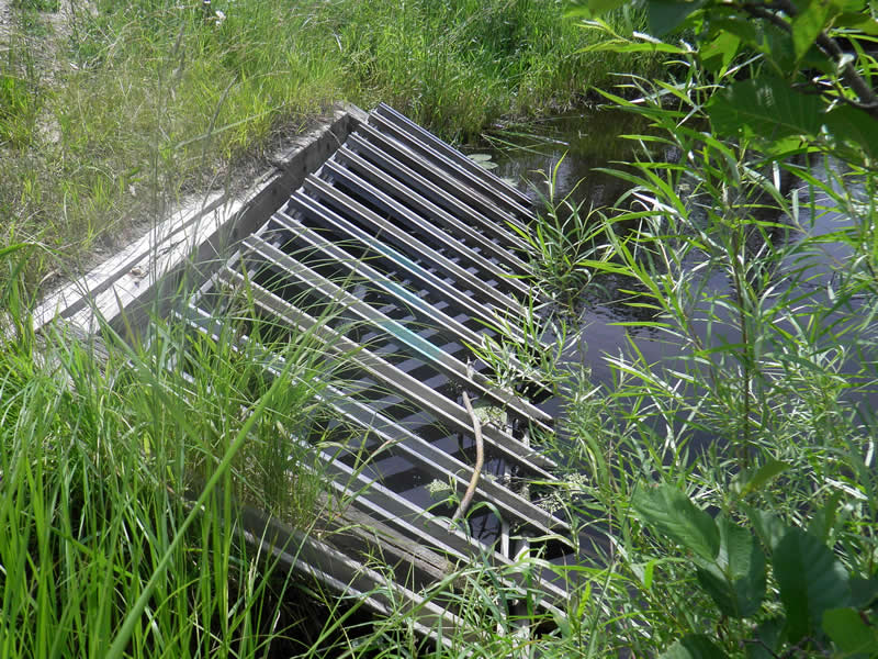
Outlet
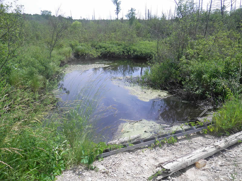
Upstream Conditions
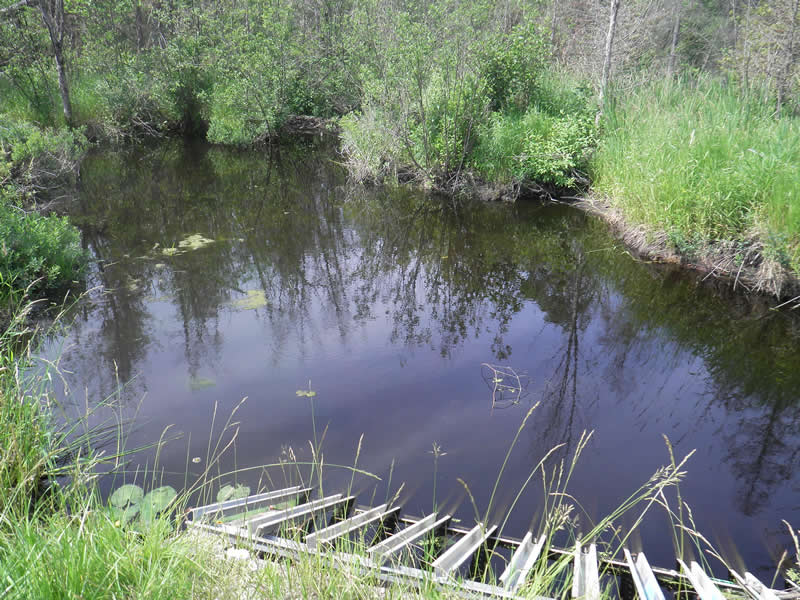
Downstream Conditions
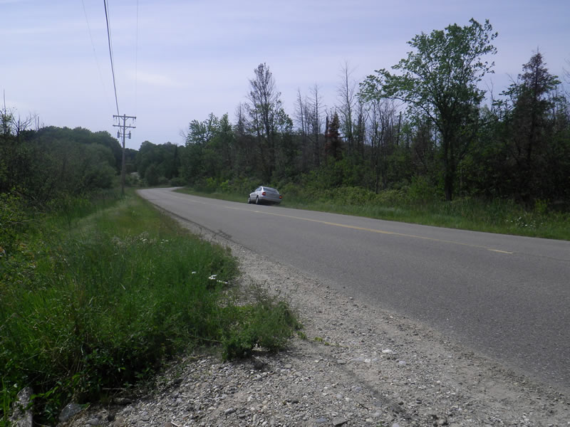
Road Approach - Left
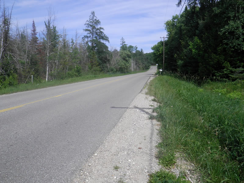
Road Approach - Right
Crossing Information
Type of Crossing: culvert(s)
Number of Structures: 1
Structure Shape: Open Bottom Square/Rectangle
Inlet Type: Wingwall 10-30 Degree
Outlet Type: At Stream Grade
Structure Material: Wood
Structure Substrate: Gravel
General Conditions: Poor
Structure Interior: smooth
Dimensions of Structure: Length 44 ft.
, Width 11 ft.
, Height 4 ft.
Percentage Crushed:
Outlet: 1% to 25%
Structure Inlet
Water Depth: 1.16 ft.
Water Velocity*: 0.08 ft./sec.
Structure Outlet
Water Depth: 1.7 ft.
Water Velocity*: 0.02 ft./sec.
*Water Velocities were measured 0.696 ft. below Surface
(with Meter)
Additional Comments
426 E Shadow Trl Rd. Old site ID: FO-3.
Stream Information
Stream Flow: Less than 1/2 Bankfull
Scour Pool: Length 20 ft.
, Width 20 ft.
, Depth 2.5 ft.
Riffle Information
Water Depth: 0.5 ft.
Bankfull Width: 19.83 ft.
Wetted Width: 15 ft.
Water Velocity: 0.21 ft./sec.
(Measured with Meter)
Dominant Substrate: Organics
Road Information
Paved
County Road
Road Condition: Good
Road Width at Culvert: 29 ft.
Location of Low Point: At Stream
Runoff Path: Ditch
Embankments
Upstream
Fill Depth: 1.5 ft.
Slope: 1:2
Downstream
Fill Depth: 2.5 ft.
Slope: 1:2
Approaches
Left Approach
Length: 300 ft.
Slope: 1% to 5%
Vegetation: Heavy
LS Factor: 0.46
Erosion: 0.1323 tons/year
Right Approach
Length: 500 ft.
Slope: 1% to 5%
Vegetation: Heavy
LS Factor: 0.5
Erosion: 0.2397 tons/year
Erosion Information
Total Erosion at Crossing: 0.7581 tons/year
Extent of Erosion: Very Severe
Erosion is occurring and corrective actions can be installed to address the problem.
Notes: Between culvert and road, problematic on upstream side
Location of Erosion | Erosion Dimensions | Eroded Material | Material Eroded | Total Erosion | ||
facing downstream | Length | Width | Depth | Reaching Stream? | (tons/year) | |
Right Upstream Ditch |
12 ft. |
6 ft. |
0.67 ft. |
yes |
Sand |
0.2211 |
Left Upstream Ditch |
12 ft. |
3 ft. |
0.5 ft. |
yes |
Sand |
0.165 |
Summary Information
Fish Passability 0.9
Erosion is an area of concern for this site.
yes
�