Road Stream Crossing Site LTB-210
Little Traverse Bay Watershed, Fineout Creek
Fineout Rd Downstream
Melrose Twp,
Charlevoix County
Information collected by:
Site Location
GPS Coordinates: 45.25305875
, -84.97948146
Fish Passability 0.5
Total Erosion: 0.5253 tons/year
Severity: Moderate
Year Inventoried: 2014
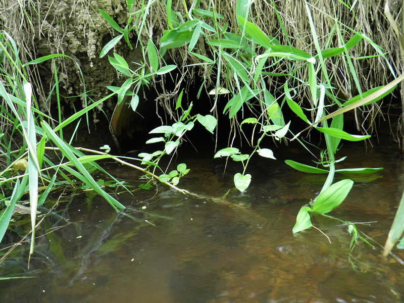
Outlet
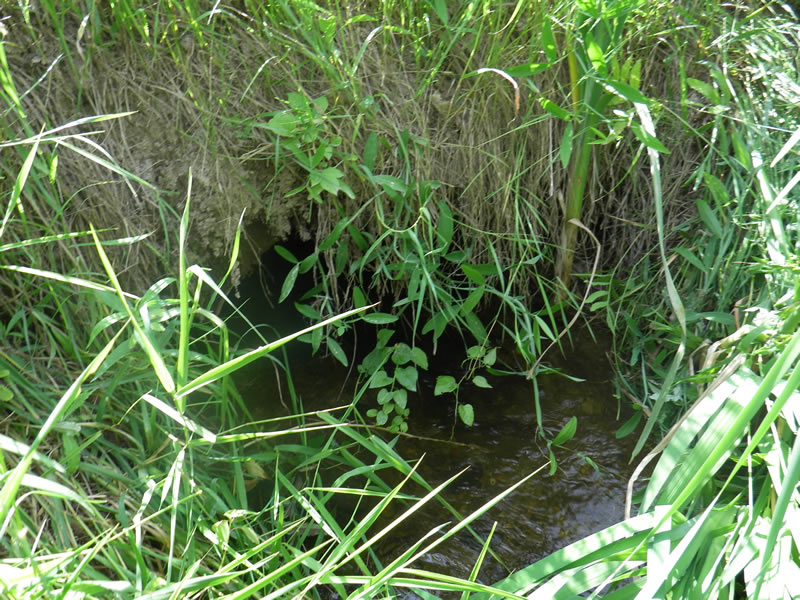
Outlet
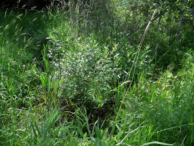
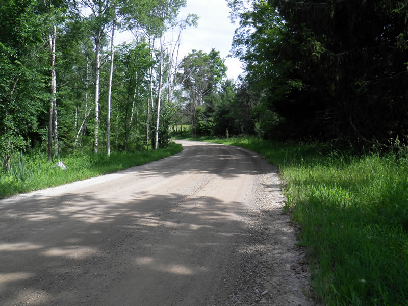
Upstream Conditions
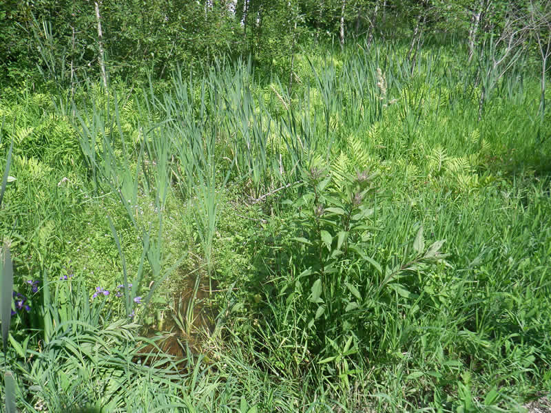
Downstream Conditions
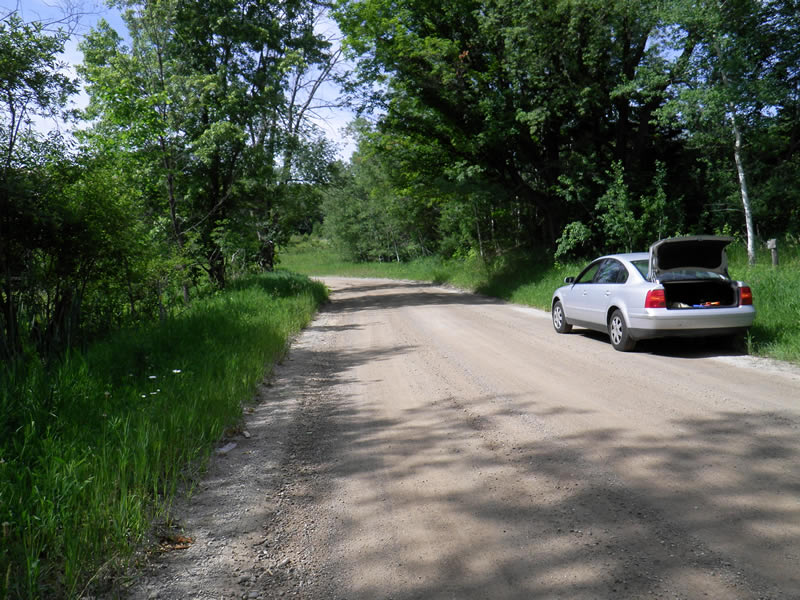
Road Approach - Left
Road Approach - Right
Crossing Information
Type of Crossing: culvert(s)
Number of Structures: 1
Structure Shape: Ellipse
Inlet Type: Projecting
Outlet Type: At Stream Grade
Structure Material: Metal
Structure Substrate: None
General Conditions: Fair
Structure Interior: corrugated
Dimensions of Structure: Length 31 ft.
, Width 1.25 ft.
, Height 1.4 ft.
Structure Inlet
Water Depth: 0.6 ft.
Embedded Depth of Structure: 0.17 ft.
Water Velocity*: 0.25 ft./sec.
Structure Outlet
Water Depth: 0.5 ft.
Water Velocity*: 0.22 ft./sec.
*Water Velocities were measured 0.36 ft. below Surface
(with Meter)
Additional Comments
Old site ID: FO-11.
Stream Information
Stream Flow: Less than 1/2 Bankfull
Riffle Information
Water Depth: 0.29 ft.
Bankfull Width: 2.5 ft.
Wetted Width: 2.42 ft.
Water Velocity: 0.4 ft./sec.
(Measured with Meter)
Dominant Substrate: Sand
Road Information
Gravel
County Road
Road Condition: Fair
Road Width at Culvert: 22 ft.
Location of Low Point: At Stream
Runoff Path: Roadway
Embankments
Upstream
Fill Depth: 2 ft.
Slope: 1:2
Downstream
Fill Depth: 2.5 ft.
Slope: Vertical
Approaches
Left Approach
Length: 105 ft.
Slope: 1% to 5%
Vegetation: Heavy
LS Factor: 0.382
Erosion: 0.2431 tons/year
Right Approach
Length: 120 ft.
Slope: 1% to 5%
Vegetation: Heavy
LS Factor: 0.388
Erosion: 0.2822 tons/year
Erosion Information
Total Erosion at Crossing: 0.5253 tons/year
Extent of Erosion: Stabilized
Summary Information
Fish Passability 0.5
A future visit to this site is recommended. Culvert too short, dirt road falling into stream
These non-native species were observerd at this site: Deadly Night Shade
�