Road Stream Crossing Site LTB-211
Little Traverse Bay Watershed, Fineout Creek
Kent
Melrose Twp,
Charlevoix County
Information collected by:
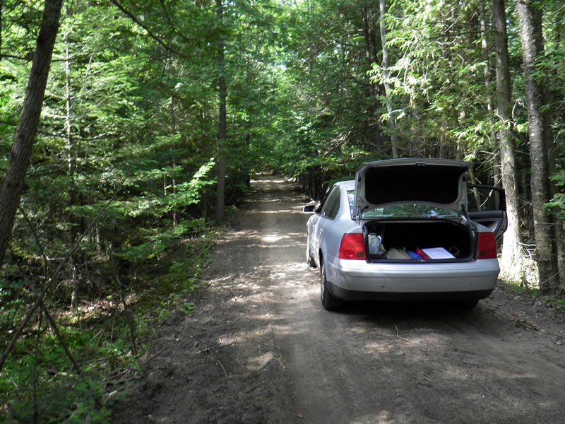
Site Location
GPS Coordinates: 45.25405164
, -84.98426881
Fish Passability 0.9
Total Erosion: 3.7675 tons/year
Severity: Severe
Year Inventoried: 2014
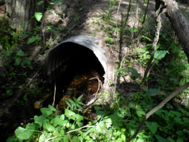
Inlet
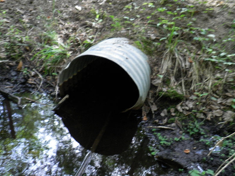
Outlet
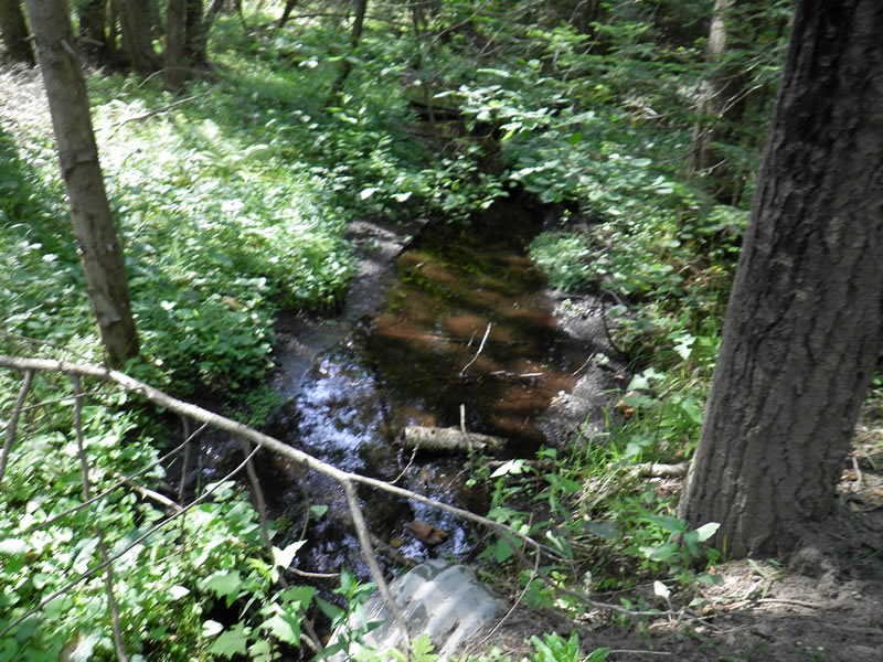
Upstream Conditions
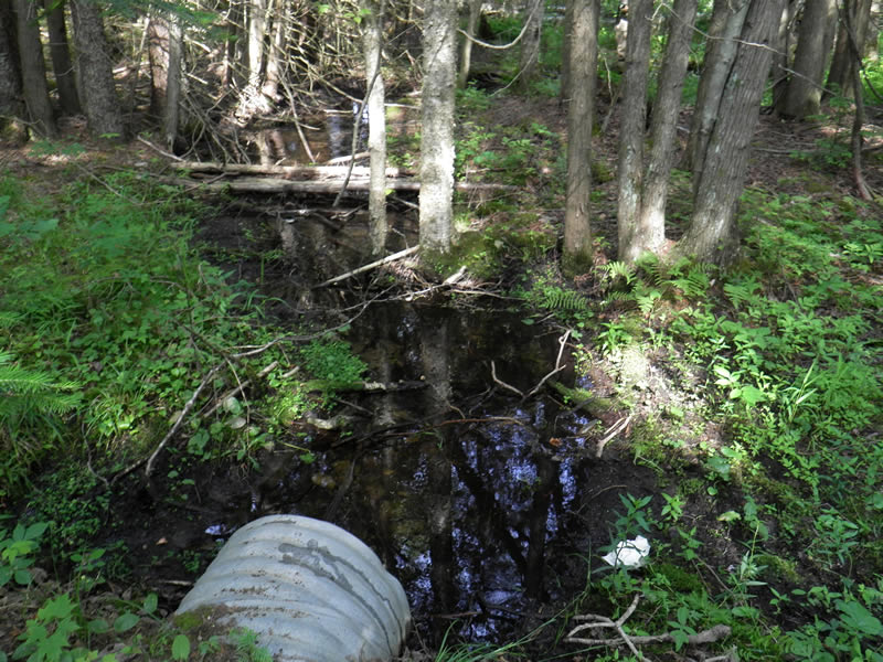
Downstream Conditions
Road Approach - Left
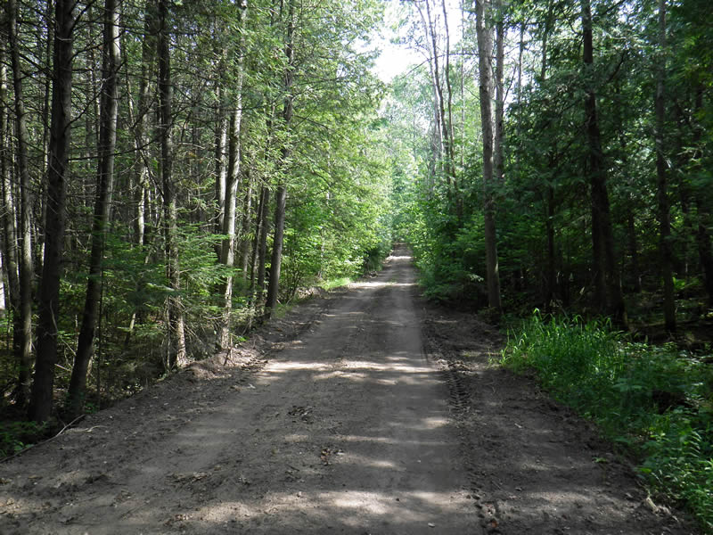
Road Approach - Right
Crossing Information
Type of Crossing: culvert(s)
Number of Structures: 1
Structure Shape: Round
Inlet Type: Projecting
Outlet Type: At Stream Grade
Structure Material: Metal
Structure Substrate: Sand
General Conditions: Fair
Structure Interior: corrugated
Dimensions of Structure: Length 19.33 ft.
, Width 2 ft.
, Height 2 ft.
Percentage Crushed:
Outlet: 1% to 25%
Structure Inlet
Water Depth: 0.2 ft.
Embedded Depth of Structure: 0.083 ft.
Water Velocity*: 0.39 ft./sec.
Structure Outlet
Water Depth: 0.35 ft.
Embedded Depth of Structure: 0.25 ft.
Water Velocity*: 0.24 ft./sec.
*Water Velocities were measured 0.12 ft. below Surface
(with Meter)
Additional Comments
Old site ID: FO-12.
Riffle Information
Water Depth: 0.14 ft.
Bankfull Width: 5.25 ft.
Wetted Width: 2.583 ft.
Water Velocity: 0.26 ft./sec.
(Measured with Meter)
Dominant Substrate: Sand
Road Information
Sand
County Road
Road Condition: Poor
Road Width at Culvert: 13.25 ft.
Location of Low Point: At Stream
Runoff Path: Roadway
Embankments
Upstream
Fill Depth: 0.7 ft.
Slope: 1:2
Downstream
Fill Depth: 1.25 ft.
Slope: More than 1:2
Approaches
Left Approach
Length: 300 ft.
Slope: 6% to 10%
Vegetation: Heavy
LS Factor: 1.4
Erosion: 1.5331 tons/year
Right Approach
Length: 400 ft.
Slope: 6% to 10%
Vegetation: Heavy
LS Factor: 1.53
Erosion: 2.2339 tons/year
Erosion Information
Total Erosion at Crossing: 3.7675 tons/year
Extent of Erosion: Moderate
Notes: road narrow (Seasonal use) causing sediments to fall in
Location of Erosion | Erosion Dimensions | Eroded Material | Material Eroded | Total Erosion | ||
facing downstream | Length | Width | Depth | Reaching Stream? | (tons/year) | |
Right Downtream Ditch |
0.83 ft. |
0.1 ft. |
0.025 ft. |
yes |
Sand |
0.0002 |
Left Downstream Ditch |
0.83 ft. |
0.1 ft. |
0.025 ft. |
yes |
Sand |
0.0002 |
Left Upstream Ditch |
0.83 ft. |
0.25 ft. |
0.025 ft. |
no |
Sand |
0.0002 |
Summary Information
Fish Passability 0.9
A future visit to this site is recommended. moderate erosion fromroad
�