Road Stream Crossing Site LTB-212
Little Traverse Bay Watershed, Bear River
M-75
Melrose Twp,
Charlevoix County
Information collected by:
Site Location
GPS Coordinates: 45.26099971
, -84.93420103
Owned by Other
Fish Passability 0
Total Erosion: 3.6185 tons/year
Severity: Severe
Year Inventoried: 2014
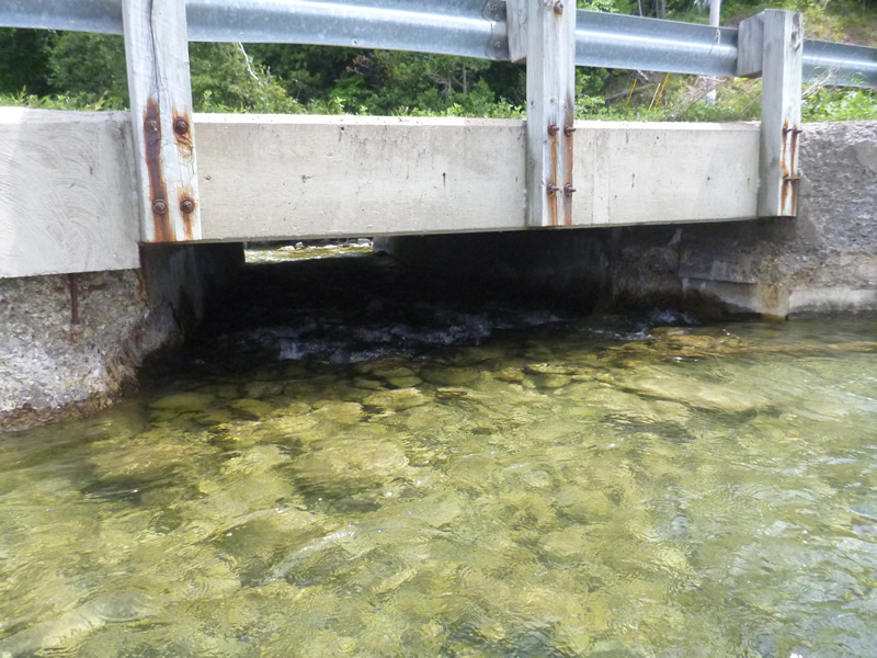
Inlet
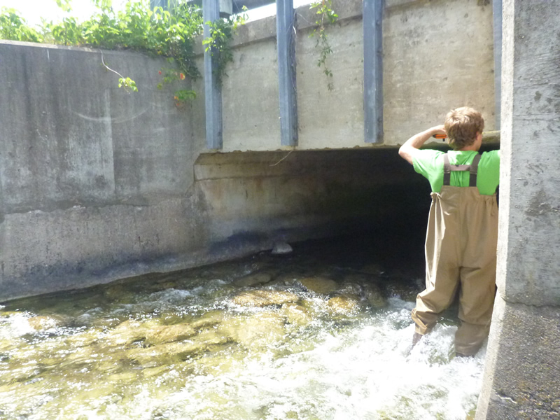
Outlet
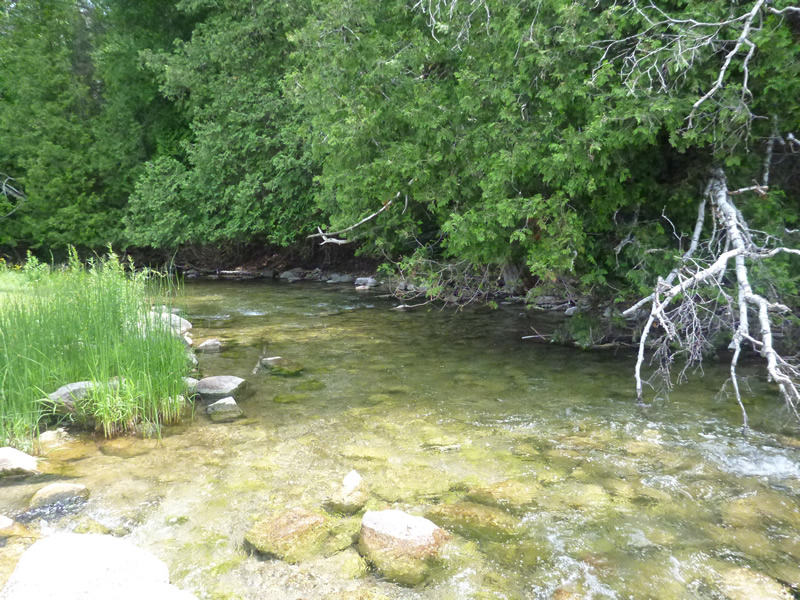
Upstream Conditions
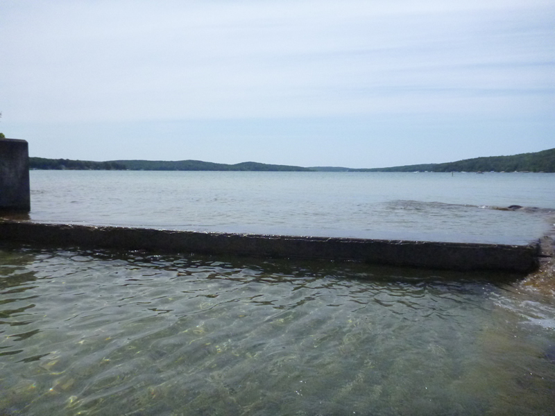
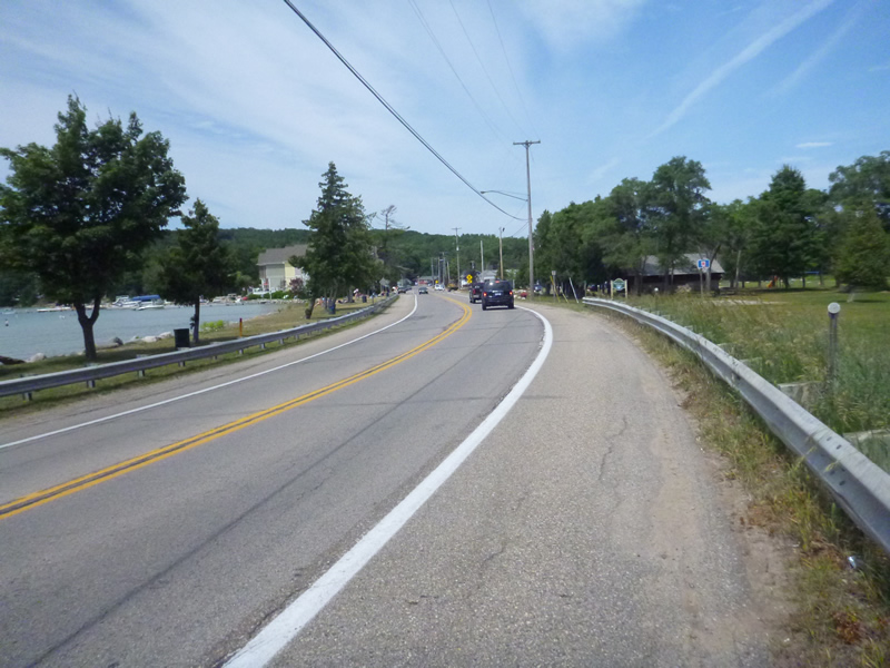
Downstream Conditions
Downstream Conditions
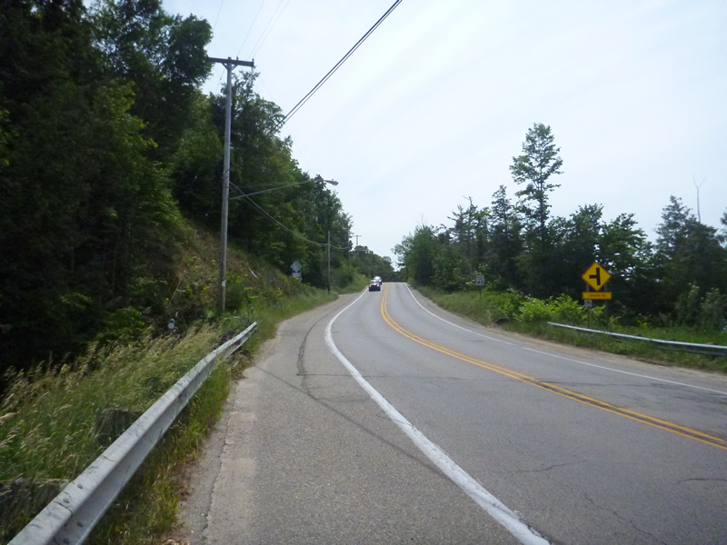
Road Approach - Left
Crossing Information
Type of Crossing: Bridge
Dimensions of Structure: Length 53 ft.
, Width 12.33 ft.
, Height 5.5 ft.
Structure Inlet
Water Depth: 1 ft.
Water Velocity*: 2.1 ft./sec.
Structure Outlet
Water Depth: 1 ft.
Water Velocity*: 4 ft./sec.
*Water Velocities were measured 0.5 ft. below Surface
(with Meter)
Additional Comments
Melrose Park. Old site ID: C-1.
Stream Information
Stream Flow: Less than Bankfull
Riffle Information
Water Depth: 0.8 ft.
Bankfull Width: 28.5 ft.
Wetted Width: 22 ft.
Water Velocity: 1.5 ft./sec.
(Measured with Meter)
Dominant Substrate: Cobble
Road Information
Paved
State Road
Road Condition: Good
Road Width at Culvert: 53 ft.
Location of Low Point: Other
Runoff Path: Roadway
Embankments
Upstream
Fill Depth: 10 ft.
Slope: More than 1:2
Downstream
Fill Depth: 10 ft.
Slope: More than 1:2
Approaches
Left Approach
Length: 999 ft.
Slope: 6% to 10%
Vegetation: Heavy
LS Factor: 2.049
Erosion: 3.5869 tons/year
Right Approach
Length: 300 ft.
Slope: Less Than 1%
Vegetation: None
LS Factor: 0.06
Erosion: 0.0315 tons/year
Erosion Information
Total Erosion at Crossing: 3.6185 tons/year
Extent of Erosion: Stabilized
Summary Information
Fish Passability 0
A future visit to this site is recommended. high velocities, fish passage issue? Garbage preventing fish from getting out of shallows possibly.
�