Road Stream Crossing Site LTB-213
Little Traverse Bay Watershed, Bear River
Railroad by River Rd
Melrose Twp,
Charlevoix County
Information collected by:
Site Location
GPS Coordinates: 45.26002187
, -84.92249921
Fish Passability 0.9
Total Erosion: 3.6231 tons/year
Severity: Severe
Year Inventoried: 2014
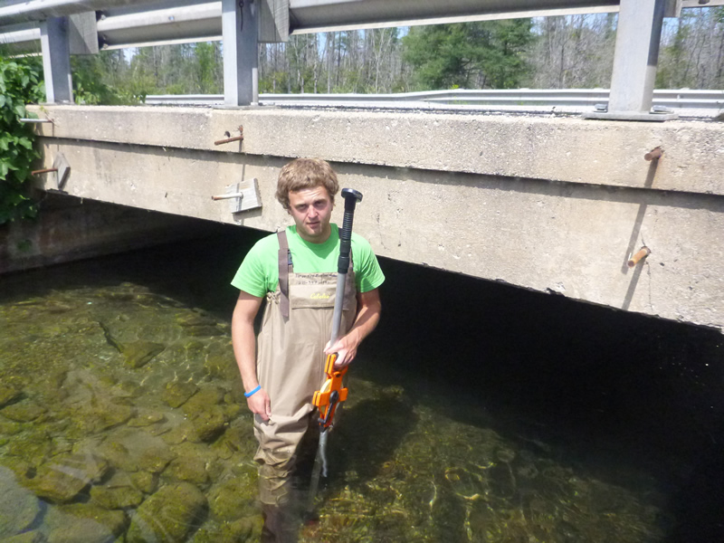
Inlet
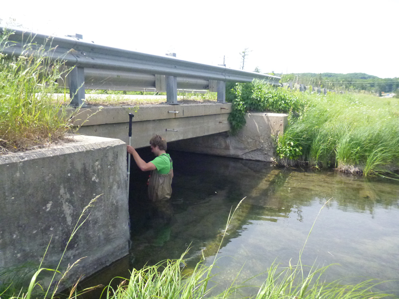
Outlet
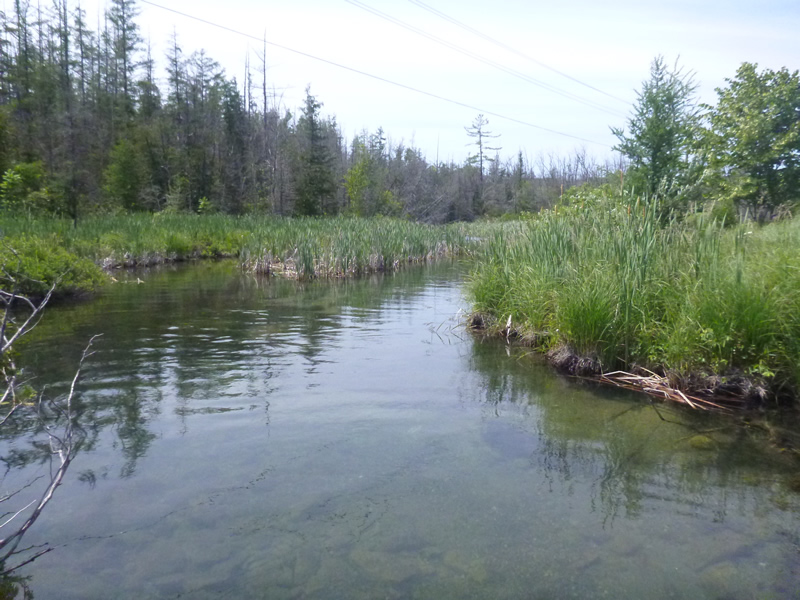
Upstream Conditions
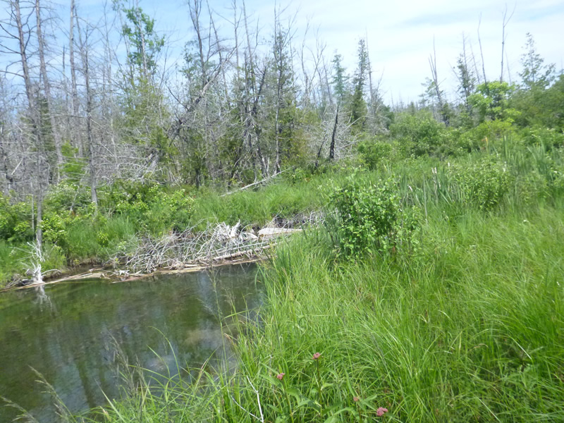
Downstream Conditions
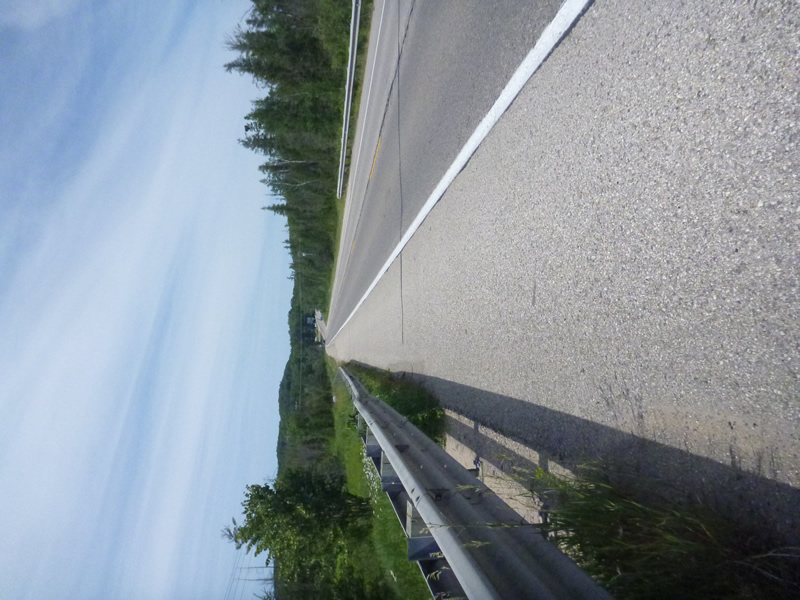
Road Approach - Left
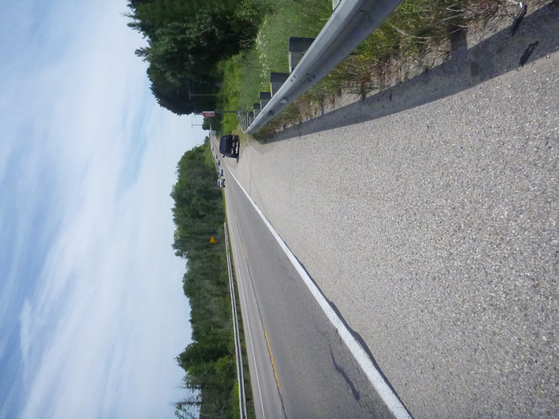
Road Approach - Right
Crossing Information
Type of Crossing: Bridge
Dimensions of Structure: Length 37 ft.
, Width 10.5 ft.
, Height 6.5 ft.
Structure Inlet
Water Depth: 1.9 ft.
Water Velocity*: 1.2 ft./sec.
Structure Outlet
Water Depth: 2.3 ft.
Water Velocity*: 1.2 ft./sec.
*Water Velocities were measured 0.95 ft. below Surface
(with Meter)
Additional Comments
Old site ID: C-2.
Stream Information
Stream Flow: Less than Bankfull
Riffle Information
Water Depth: 2.02 ft.
Bankfull Width: 30 ft.
Wetted Width: 27 ft.
Water Velocity: 0.8 ft./sec.
(Measured with Meter)
Dominant Substrate: Cobble
Road Information
Gravel
Other Road
Road Condition: Fair
Road Width at Culvert: 37 ft.
Location of Low Point: Other
Runoff Path: Ditch
Embankments
Upstream
Fill Depth: 20 ft.
Slope: 1:1.5
Downstream
Fill Depth: 20 ft.
Slope: 1:1.5
Approaches
Left Approach
Length: 1000 ft.
Slope: Less Than 1%
Vegetation: None
LS Factor: 0.06
Erosion: 0.6116 tons/year
Right Approach
Length: 1000 ft.
Slope: Less Than 1%
Vegetation: None
LS Factor: 0.06
Erosion: 0.6116 tons/year
Erosion Information
Total Erosion at Crossing: 3.6231 tons/year
Extent of Erosion: Severe
Notes: on the slope from tracks to water.
Location of Erosion | Erosion Dimensions | Eroded Material | Material Eroded | Total Erosion | ||
facing downstream | Length | Width | Depth | Reaching Stream? | (tons/year) | |
Left Upstream Ditch |
30 ft. |
50 ft. |
2 ft. |
yes |
Gravel |
1.2 |
Right Upstream Ditch |
30 ft. |
50 ft. |
2 ft. |
yes |
Gravel |
1.2 |
Summary Information
Fish Passability 0.9
A future visit to this site is recommended. Erosion
These non-native species were observerd at this site: Rusty Crayfish
�