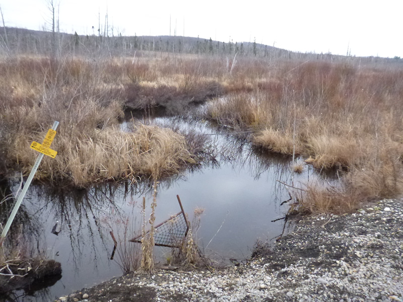
Road Stream Crossing Site LTB-216
Little Traverse Bay Watershed, Haymrsh Creek
US-131 Railroad
Melrose Twp,
Charlevoix County
Information collected by:
Site Location
GPS Coordinates: 45.22215327
, -84.92096599
Fish Passability 0.9
Total Erosion: 3.2514 tons/year
Severity: Severe
Year Inventoried: 2014
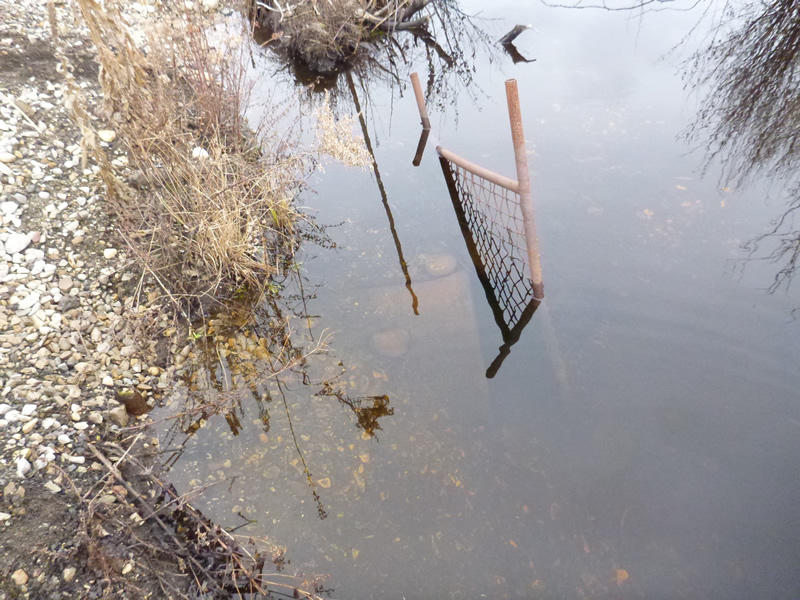
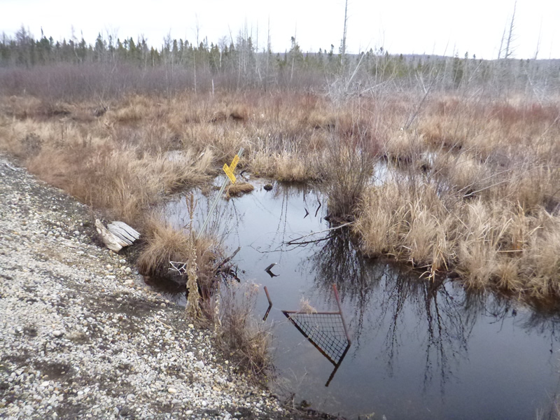
Inlet
Outlet
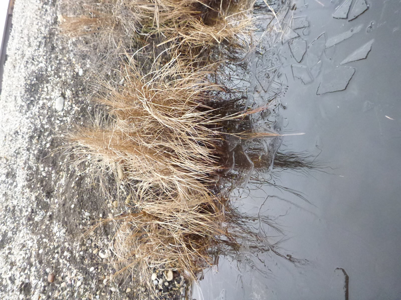
Upstream Conditions
Downstream Conditions
Downstream Conditions
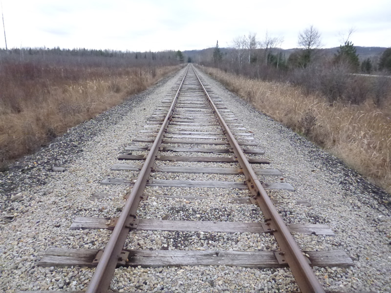
Road Approach - Left
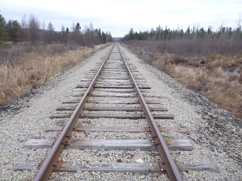
Road Approach - Right
Crossing Information
Type of Crossing: culvert(s)
Number of Structures: 1
Structure Shape: Round
Inlet Type: Projecting
Outlet Type: At Stream Grade
Structure Substrate: Sand
General Conditions: Poor
Structure Interior: smooth
Dimensions of Structure: Length 30 ft.
, Width 2.75 ft.
, Height 1.78 ft.
Structure Inlet
Water Depth: 2.25 ft.
Embedded Depth of Structure: 0.25 ft.
Water Velocity*: 0 ft./sec.
Structure Outlet
Water Depth: 2.08 ft.
Embedded Depth of Structure: 0.17 ft.
Water Velocity*: 0 ft./sec.
*Water Velocities were measured 0.67 ft. below Surface
(with Meter)
Additional Comments
Old site ID: C-28.
Stream Information
Stream Flow: Less than Bankfull
Scour Pool: Length 8 ft.
, Width 12 ft.
, Depth 1.75 ft.
Upstream Pond: Length 20 ft.
, Width 10 ft.
Riffle Information
Water Depth: 1.5 ft.
Bankfull Width: 18.5 ft.
Wetted Width: 8.9 ft.
Water Velocity: 0 ft./sec.
(Measured with Meter)
Dominant Substrate: Organics
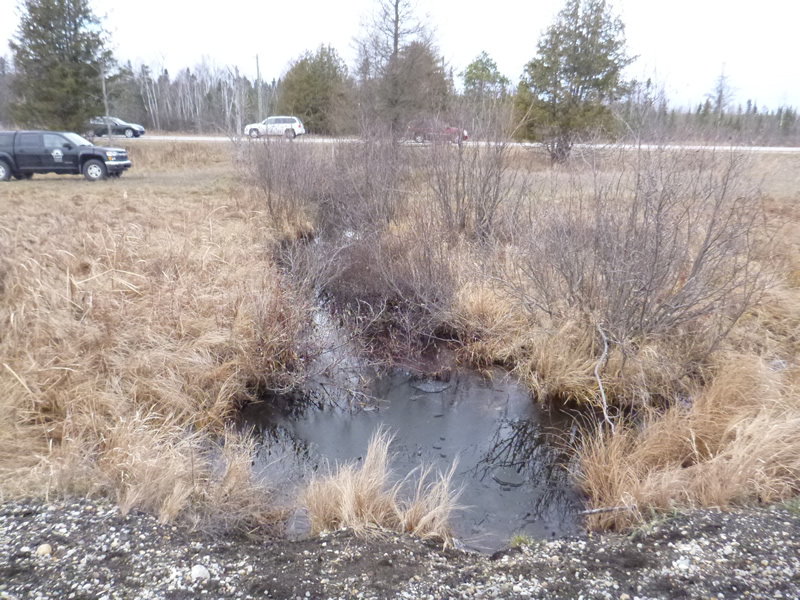
Road Information
Gravel
Road Condition: Good
Road Width at Culvert: 8 ft.
Location of Low Point: At Stream
Runoff Path: Ditch
Embankments
Upstream
Fill Depth: 3 ft.
Slope: 1:2
Downstream
Fill Depth: 3 ft.
Slope: More than 1:2
Approaches
Left Approach
Length: 999 ft.
Slope: 1% to 5%
Vegetation: Heavy
LS Factor: 0.57
Erosion: 1.2547 tons/year
Right Approach
Length: 999 ft.
Slope: 1% to 5%
Vegetation: Heavy
LS Factor: 0.57
Erosion: 1.2547 tons/year
Erosion Information
Total Erosion at Crossing: 3.2514 tons/year
Extent of Erosion: Moderate
Erosion is occurring and corrective actions can be installed to address the problem.
Notes: Railway fill washing into creek on both sides.
*Note: "Location of Erosion" above: First location-downstream at culvert (includes both sand and gravel); Second location-Upstream at culvert (includes both sand and gravel)
Location of Erosion | Erosion Dimensions | Eroded Material | Material Eroded | Total Erosion | ||
facing downstream | Length | Width | Depth | Reaching Stream? | (tons/year) | |
Left Upstream Embankment |
40 ft. |
8 ft. |
1 ft. |
yes |
Gravel |
0.28 |
Left Downstream Embankment |
40 ft. |
8 ft. |
1.5 ft. |
yes |
Sand |
0.462 |
Summary Information
Fish Passability 0.9
Erosion is an area of concern for this site.
Yes, eroding material washing in and culvert condition suspect.
A future visit to this site is recommended. Culvert may be disfunctional/plugges as no flow and cracked at inlet.
*Note: Structure material-ceramic? Cracked, tile?; and too deep to tell if plugged or crushed.
�