Road Stream Crossing Site LTB-218
Little Traverse Bay Watershed, Haymrsh Creek
Bauman Rd
Melrose Twp,
Charlevoix County
Information collected by:
Site Location
GPS Coordinates: 45.22585948
, -84.92283096
Owned by State
Fish Passability 0.9
Total Erosion: 9.0399 tons/year
Severity: Severe
Year Inventoried: 2014
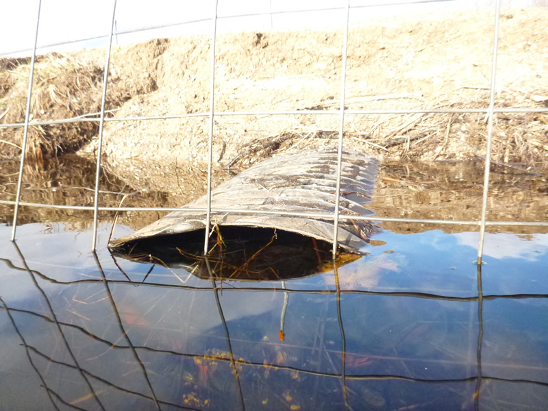
Inlet
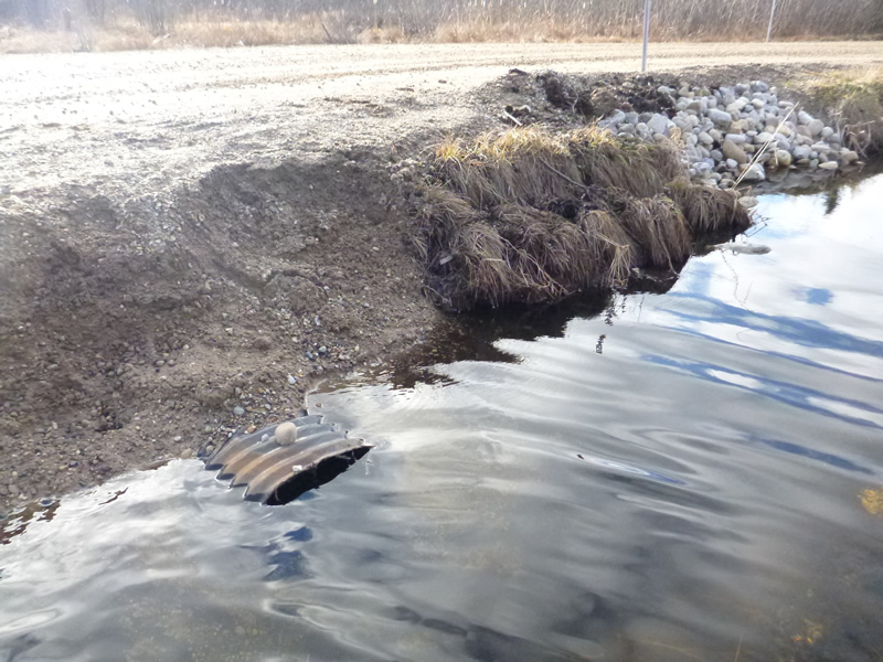
Outlet
Outlet
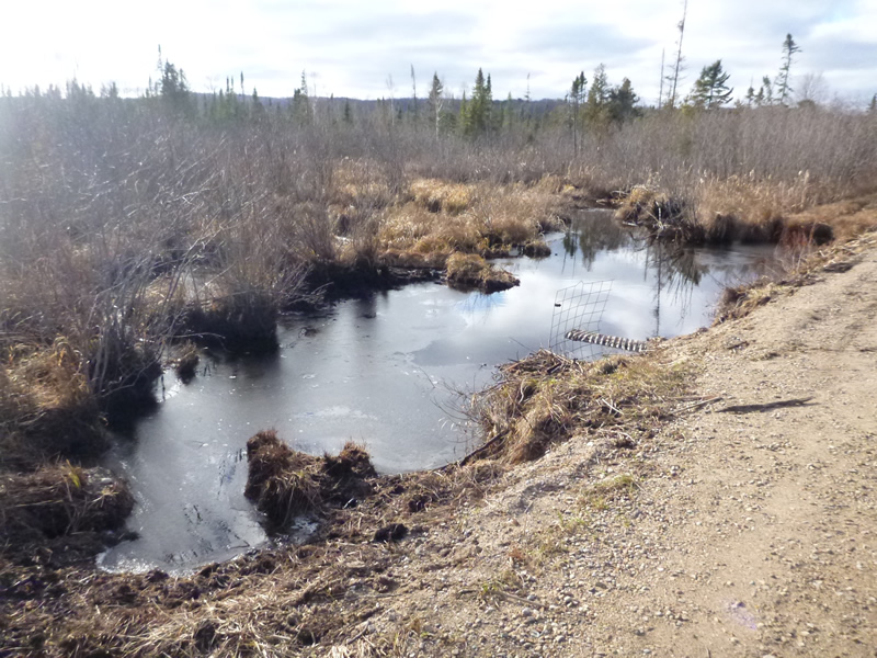
Upstream Conditions
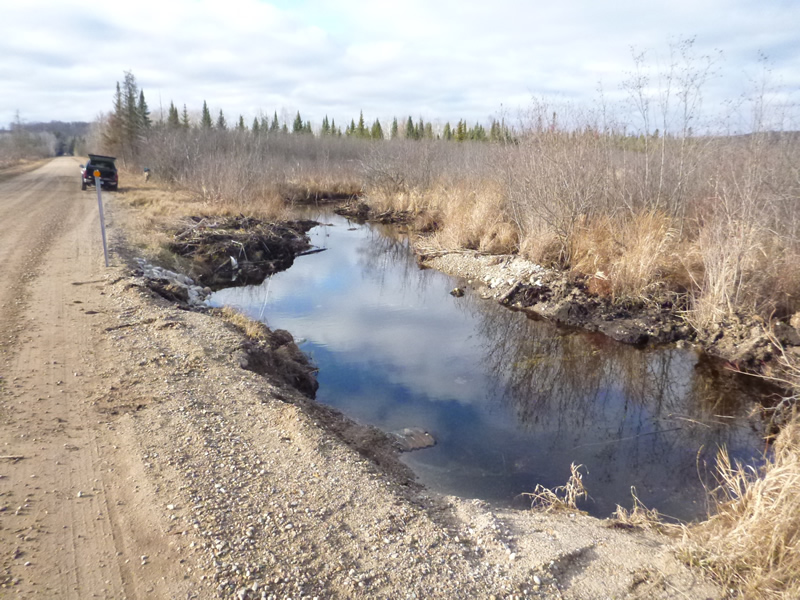
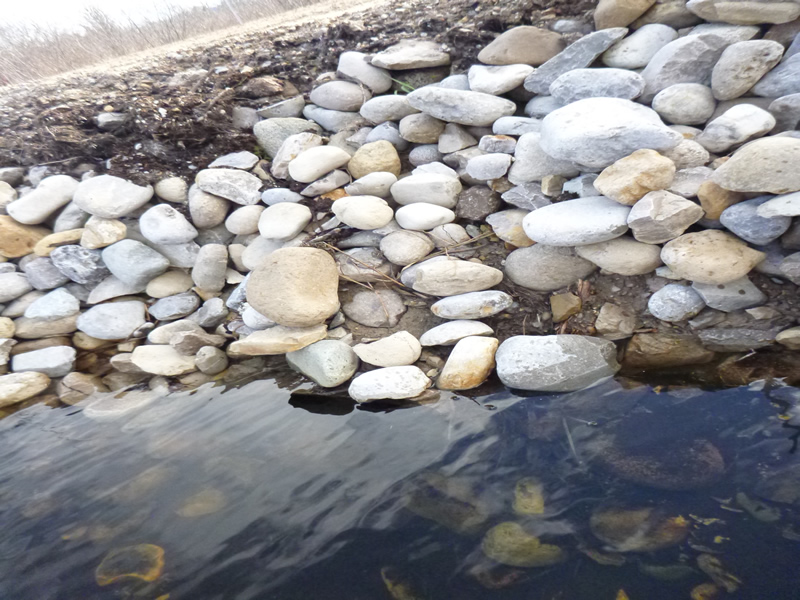
Downstream Conditions
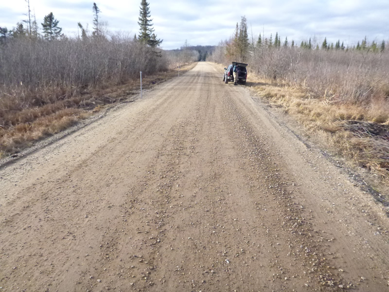
Road Approach - Left
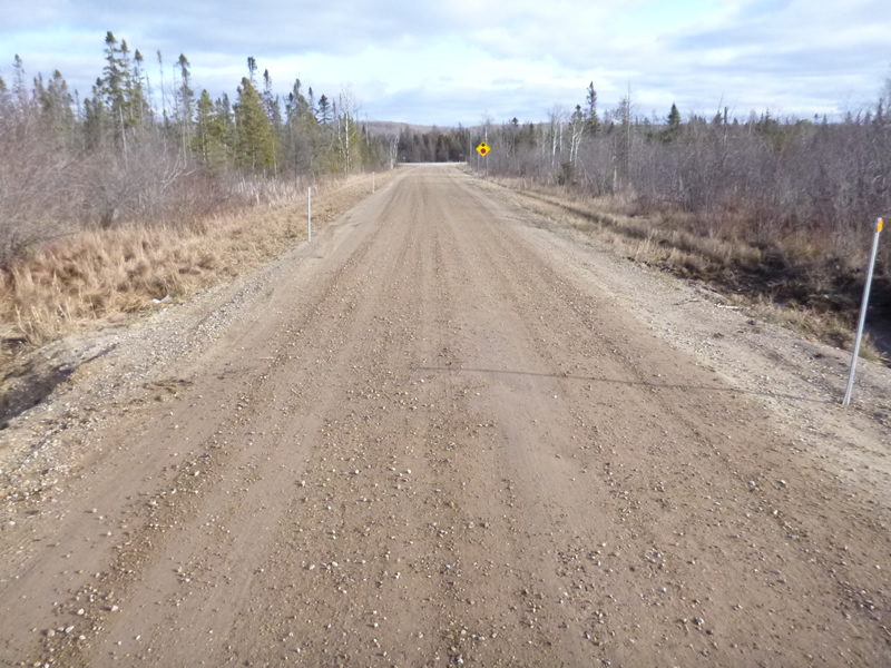
Road Approach - Right
Crossing Information
Type of Crossing: culvert(s)
Number of Structures: 2
Structure Shape: Round
Inlet Type: Projecting
Outlet Type: At Stream Grade
Structure Material: Metal
Structure Substrate: Sand
General Conditions: Poor
Multiple Culverts/Spans | ||||
Culvert/Span | Width | Length | Height | Material |
1 |
2.25 ft. |
29 ft. |
1.83 ft. |
|
2 |
2.167 ft. |
35 ft. |
1.75 ft. |
|
Structure Interior: corrugated
Structure is Rusted through
Dimensions of Structure: Length 29 ft.
, Width 2.2 ft.
, Height 1.8 ft.
Structure Inlet
Water Depth: 1.65 ft.
Embedded Depth of Structure: 0 ft.
Water Velocity*: 0.13 ft./sec.
Structure Outlet
Water Depth: 1.55 ft.
Embedded Depth of Structure: 0.083 ft.
Water Velocity*: 0.2 ft./sec.
*Water Velocities were measured 0.6 ft. below Surface
(with Meter)
Additional Comments
Old site ID: C-30.
Stream Information
Stream Flow: Less than Bankfull
Scour Pool: Length 20 ft.
, Width 6 ft.
, Depth 2.5 ft.
Upstream Pond: Length 40 ft.
, Width 20 ft.
Riffle Information
Water Depth: 1.2 ft.
Bankfull Width: 24 ft.
Wetted Width: 11.6 ft.
Water Velocity: 0.05 ft./sec.
(Measured with Meter)
Dominant Substrate: Organics
Road Information
Gravel
County Road
Road Condition: Fair
Road Width at Culvert: 19 ft.
Location of Low Point: At Stream
Runoff Path: Ditch
Embankments
Upstream
Fill Depth: 2 ft.
Slope: 1:1.5
Downstream
Fill Depth: 2 ft.
Slope: 1:1.5
Approaches
Left Approach
Length: 999 ft.
Slope: 1% to 5%
Vegetation: Heavy
LS Factor: 0.57
Erosion: 2.98 tons/year
Right Approach
Length: 999 ft.
Slope: 1% to 5%
Vegetation: Heavy
LS Factor: 0.57
Erosion: 2.98 tons/year
Erosion Information
Total Erosion at Crossing: 9.0399 tons/year
Extent of Erosion: Severe
Erosion is occurring and corrective actions can be installed to address the problem.
Notes: Horrible erosion on both sides dumping LOTS of sediment in. Need to realign channel and move 50-100 feet west and replace culverts and create bigger roadside vegetation buffer. LOCATION: Upstream and Downstream along road/culverts respectively.
Location of Erosion | Erosion Dimensions | Eroded Material | Material Eroded | Total Erosion | ||
facing downstream | Length | Width | Depth | Reaching Stream? | (tons/year) | |
Left Upstream Embankment |
40 ft. |
5 ft. |
2 ft. |
yes |
Sand |
1.76 |
Right Downtream Ditch |
30 ft. |
5 ft. |
2 ft. |
yes |
Sand |
1.32 |
Summary Information
Fish Passability 0.9
Erosion is an area of concern for this site.
A future visit to this site is recommended. Erosion and failing culvert.
�