Road Stream Crossing Site LTB-219
Little Traverse Bay Watershed, Haymrsh Creek
US-131
Melrose Twp,
Charlevoix County
Information collected by:
Site Location
GPS Coordinates: 45.23088828
, -84.91743932
Owned by State
Fish Passability 0.9
Total Erosion: 0.7285 tons/year
Severity: Moderate
Year Inventoried: 2014
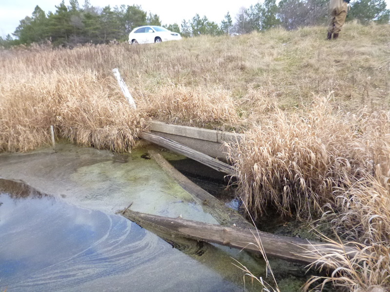
Inlet
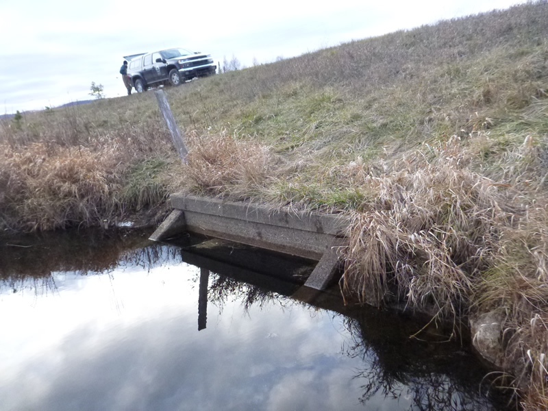
Outlet
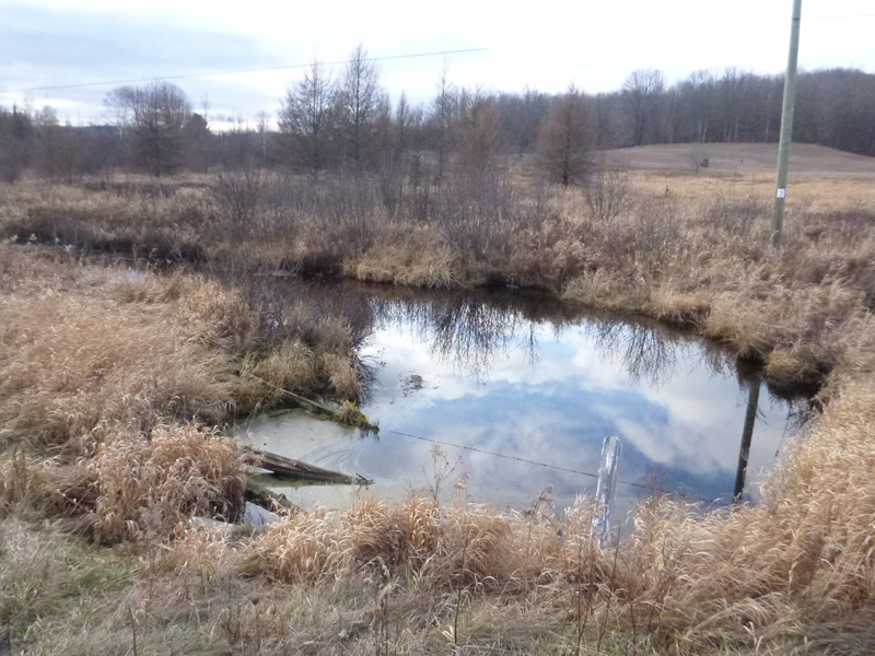
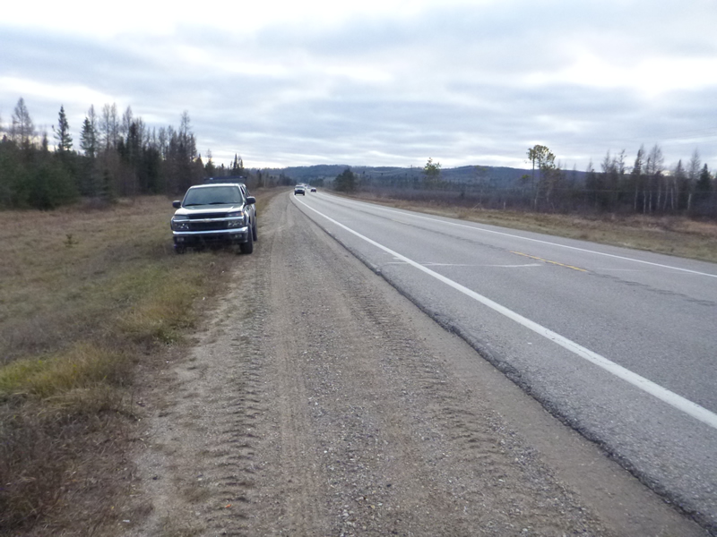
Upstream Conditions
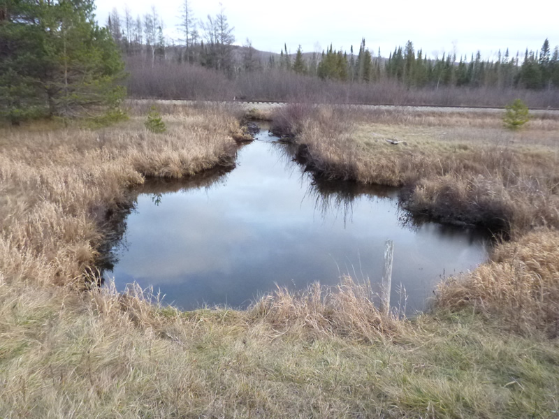
Downstream Conditions
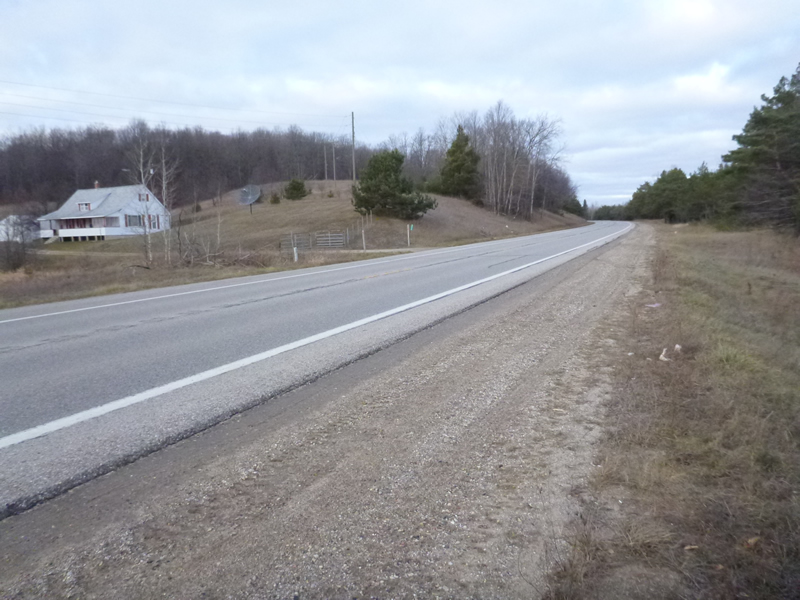
Road Approach - Left
Road Approach - Right
Crossing Information
Type of Crossing: culvert(s)
Number of Structures: 1
Structure Shape: Open Bottom Square/Rectangle
Inlet Type: Other
Outlet Type: At Stream Grade
Structure Material: Concrete
Structure Substrate: Mixture
General Conditions: Good
Structure Interior: smooth
Dimensions of Structure: Length 100 ft.
, Width 7.83 ft.
, Height 3.2 ft.
Percentage Plugged:
Inlet: 0%
Outlet: 0%
In Pipe: 0%
Percentage Crushed:
Inlet: 0%
Outlet: 0%
In Pipe: 0%
Structure Inlet
Water Depth: 3.7 ft.
Water Velocity*: 0.13 ft./sec.
Structure Outlet
Water Depth: 3.5 ft.
Water Velocity*: 0.1 ft./sec.
*Water Velocities were measured 0.6 ft. below Surface
(with Meter)
Additional Comments
MDOT. Old site ID: C-31.
Stream Information
Stream Flow: Less than 1/2 Bankfull
Scour Pool: Length 40 ft.
, Width 30 ft.
, Depth 4 ft.
Upstream Pond: Length 25 ft.
, Width 20 ft.
Riffle Information
Water Depth: 1 ft.
Bankfull Width: 32 ft.
Wetted Width: 18 ft.
Water Velocity: 0.22 ft./sec.
(Measured with Meter)
Dominant Substrate: gravel/sand/organics
Road Information
Paved
Federal Road
Road Condition: Good
Road Width at Culvert: 43 ft.
Location of Low Point: Other
Runoff Path: Ditch
Embankments
Upstream
Fill Depth: 9 ft.
Slope: More than 1:2
Downstream
Fill Depth: 7 ft.
Slope: More than 1:2
Approaches
Left Approach
Length: 700 ft.
Slope: 1% to 5%
Vegetation: Heavy
LS Factor: 0.535
Erosion: 0.5323 tons/year
Right Approach
Length: 300 ft.
Slope: 1% to 5%
Vegetation: Heavy
LS Factor: 0.46
Erosion: 0.1962 tons/year
Erosion Information
Total Erosion at Crossing: 0.7285 tons/year
Notes: NONE
Summary Information
Fish Passability 0.9
These non-native species were observerd at this site: Scots Pine
�