Road Stream Crossing Site LTB-222
Little Traverse Bay Watershed, Fineout Creek
M-75 Midstream/Trib
Melrose Twp,
Charlevoix County
Information collected by:
Site Location
GPS Coordinates: 45.24265201
, -84.96694425
Fish Passability 0.9
Structure is NOT Perched
Total Erosion: 0.0082 tons/year
Severity: Moderate
Year Inventoried: 2014
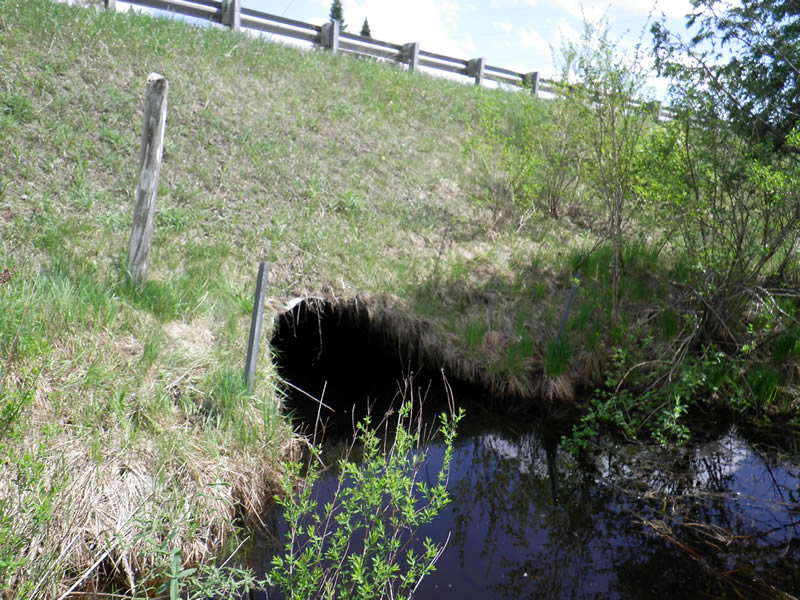
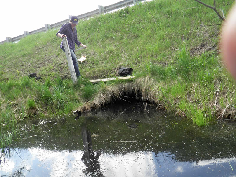
Inlet
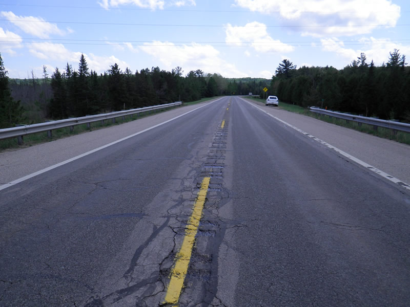
Outlet
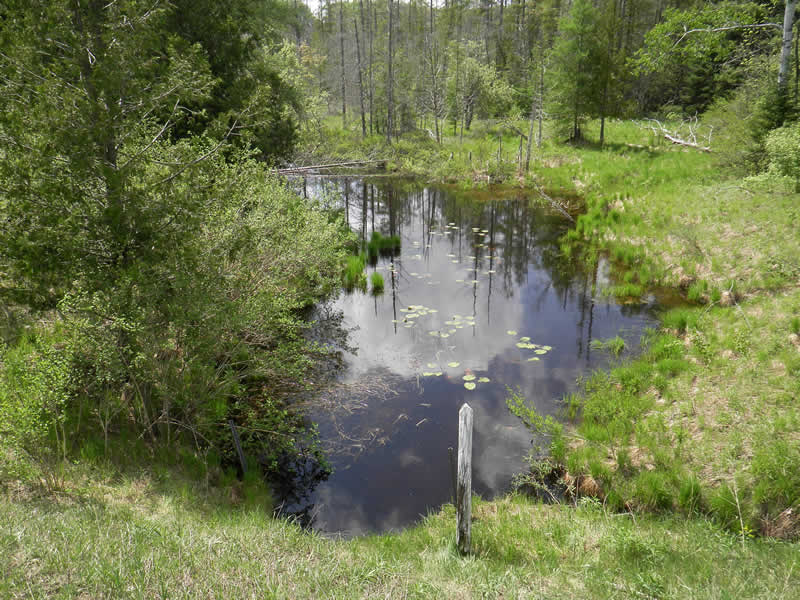
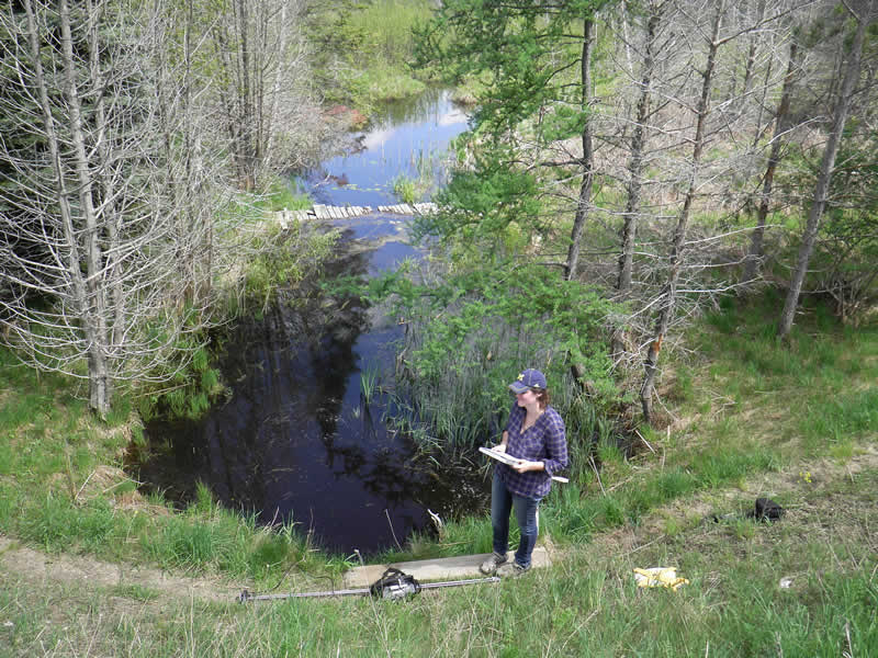
Upstream Conditions
Downstream Conditions
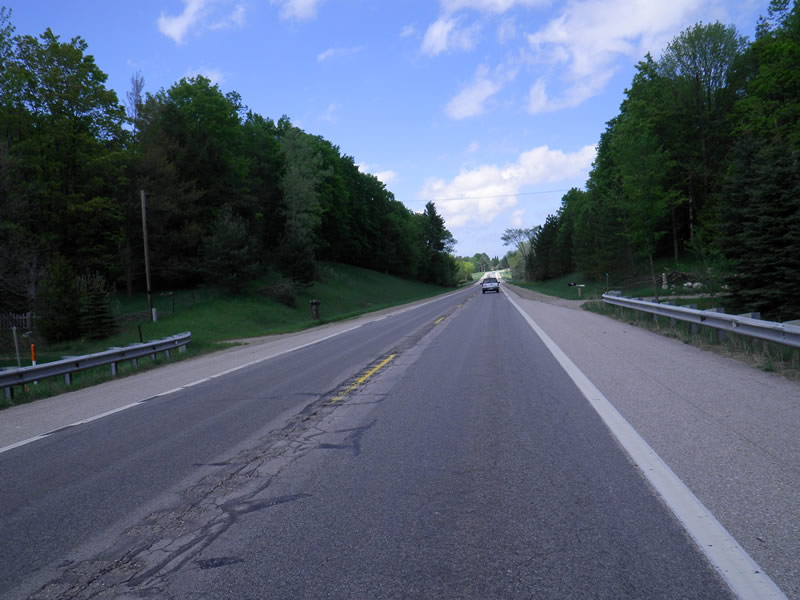
Road Approach - Left
Road Approach - Right
Crossing Information
Type of Crossing: culvert(s)
Number of Structures: 1
Structure Shape: Pipe Arch
Inlet Type: Mitered
Outlet Type: At Stream Grade
Structure Material: Metal
Structure Substrate: Sand
General Conditions: Good
Structure Interior: corrugated
Dimensions of Structure: Length 90 ft.
, Width 6.5 ft.
, Height 5 ft.
Structure is NOT Perched
Structure Inlet
Water Depth: 2 ft.
Embedded Depth of Structure: 1 ft.
Water Velocity*: 0.09 ft./sec.
Structure Outlet
Water Depth: 2 ft.
Embedded Depth of Structure: 2 ft.
Water Velocity*: 0.05 ft./sec.
*Water Velocities were measured 0.8 ft. below Surface
(with Meter)
Additional Comments
Old site ID: FO-1.
Stream Information
Stream Flow: Less than Bankfull
Riffle Information
Water Depth: 1.4 ft.
Bankfull Width: 21 ft.
Wetted Width: 16.8 ft.
Water Velocity: 0.03 ft./sec.
(Measured with Meter)
Dominant Substrate: Organics
Road Information
Paved
State Road
Road Condition: Good
Road Width at Culvert: 41 ft.
Location of Low Point: Other
Runoff Path: Ditch
Embankments
Upstream
Fill Depth: 25 ft.
Slope: 1:2
Downstream
Fill Depth: 25 ft.
Slope: 1:2
Approaches
Left Approach
Length: 0 ft.
Slope: Less Than 1%
Vegetation: Partial
LS Factor: 0.05
Erosion: 0 tons/year
Right Approach
Length: 0 ft.
Slope: Less Than 1%
Vegetation: Partial
LS Factor: 0.05
Erosion: 0 tons/year
Erosion Information
Total Erosion at Crossing: 0.0082 tons/year
Extent of Erosion: Minor
Notes: Footpath along road/stream
Location of Erosion | Erosion Dimensions | Eroded Material | Material Eroded | Total Erosion | ||
facing downstream | Length | Width | Depth | Reaching Stream? | (tons/year) | |
Right Downtream Ditch |
15 ft. |
1 ft. |
0.25 ft. |
no |
Sand |
0.0041 |
Left Downstream Ditch |
15 ft. |
1 ft. |
0.25 ft. |
no |
Sand |
0.0041 |
Summary Information
Fish Passability 0.9
�