Road Stream Crossing Site LTB-225
Little Traverse Bay Watershed, Fineout Creek
Clute Rd
Melrose Twp,
Charlevoix County
Information collected by:
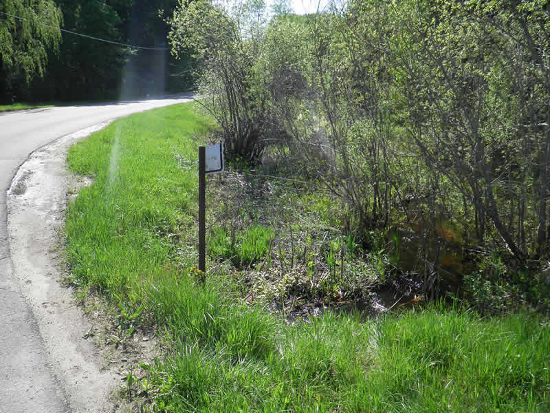
Site Location
GPS Coordinates: 45.2505643
, -84.97197167
Fish Passability 0
Structure is NOT Perched
Total Erosion: 0.4394 tons/year
Severity: Severe
Year Inventoried: 2014
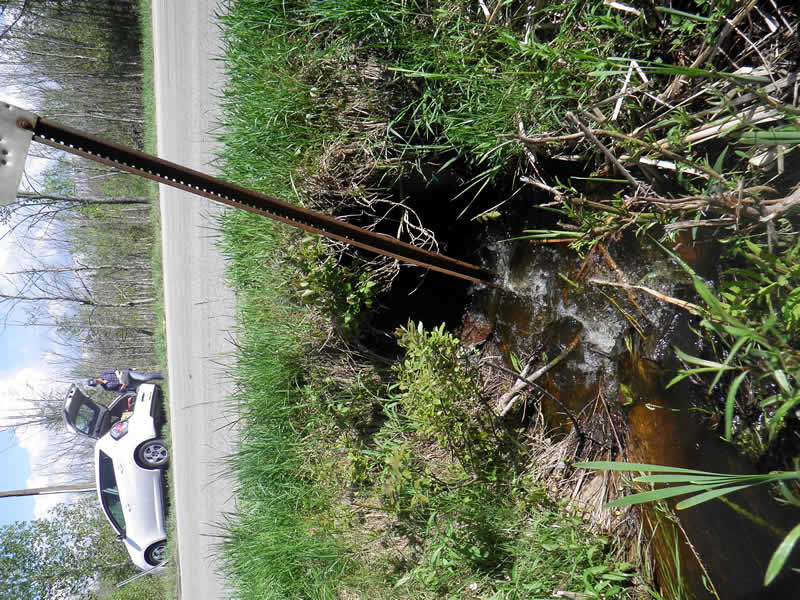
Inlet
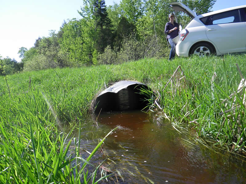
Outlet
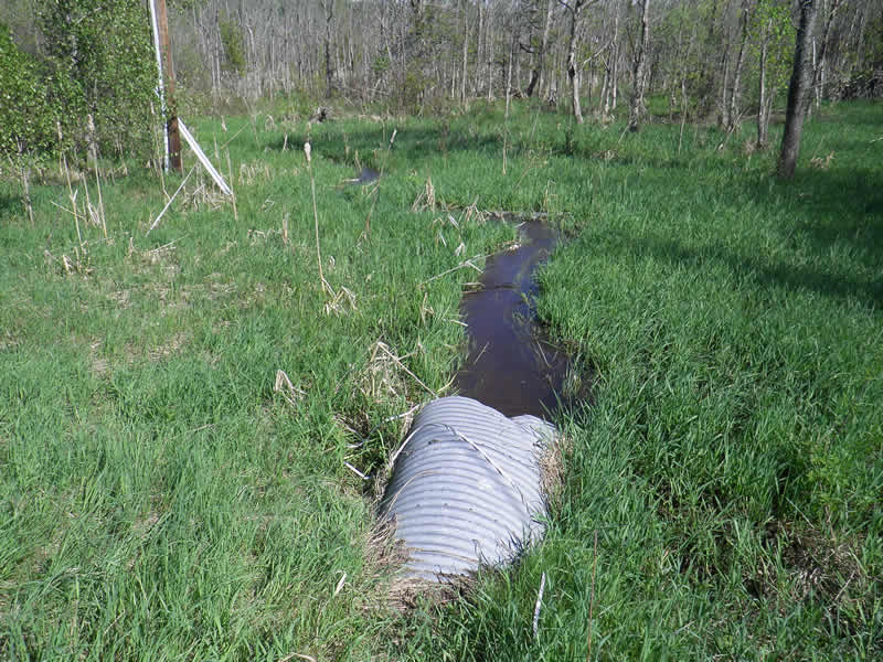
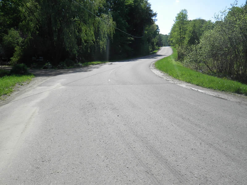
Upstream Conditions
Road Approach - Left
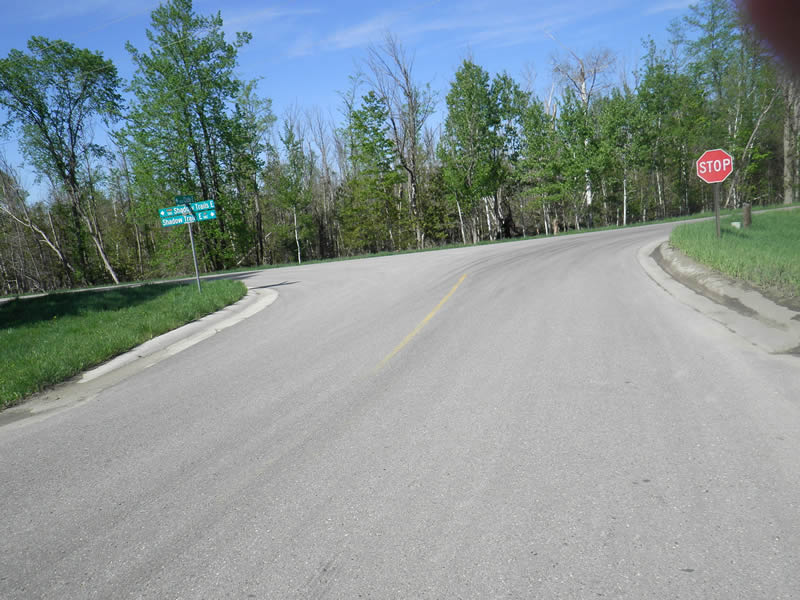
Road Approach - Right
Road Approach - Right
Crossing Information
Type of Crossing: culvert(s)
Number of Structures: 1
Structure Shape: Round
Inlet Type: Projecting
Outlet Type: At Stream Grade
Structure Material: Metal
Structure Substrate: None
General Conditions: Good
Structure Interior: corrugated
Dimensions of Structure: Length 51 ft.
, Width 3 ft.
, Height 0.8 ft.
Percentage Crushed:
Outlet: 1% to 25%
Structure is NOT Perched
Structure Inlet
Water Depth: 0.4 ft.
Embedded Depth of Structure: 1 ft.
Water Velocity*: 3.25 ft./sec.
Structure Outlet
Water Depth: 1 ft.
Embedded Depth of Structure: 0.8 ft.
Water Velocity*: 5.17 ft./sec.
*Water Velocities were measured 0.28 ft. below Surface
(with Meter)
Additional Comments
Old site ID: FO-14.
Stream Information
Stream Flow: More than Bankfull
Riffle Information
Water Depth: 0.7 ft.
(Measured with Meter)
Dominant Substrate: Organics
Road Information
Gravel
County Road
Road Condition: Good
Road Width at Culvert: 29 ft.
Location of Low Point: At Stream
Runoff Path: Roadway
Embankments
Upstream
Fill Depth: 1 ft.
Downstream
Fill Depth: 2.5 ft.
Approaches
Left Approach
Length: 50 ft.
Slope: 1% to 5%
Vegetation: Partial
LS Factor: 0.32
Erosion: 0.1278 tons/year
Right Approach
Length: 100 ft.
Slope: 1% to 5%
Vegetation: Partial
LS Factor: 0.39
Erosion: 0.3116 tons/year
Erosion Information
Total Erosion at Crossing: 0.4394 tons/year
Notes: No erosion.
Summary Information
Fish Passability 0
Fish Passage is an area of concern for this site.
caved culvert, high velocities, cascade upstream
These non-native species were observerd at this site: Reed Canary Grass
�