Road Stream Crossing Site LTB-227
Little Traverse Bay Watershed, Schoofs Creek
Resort Pike Rd - "North"
Resort Twp,
Emmet County
Information collected by:
Site Location
GPS Coordinates: 45.33787294
, -84.99607279
Owned by Private
Fish Passability 0.9
Total Erosion: 0.3616 tons/year
Severity: Moderate
Year Inventoried: 2014
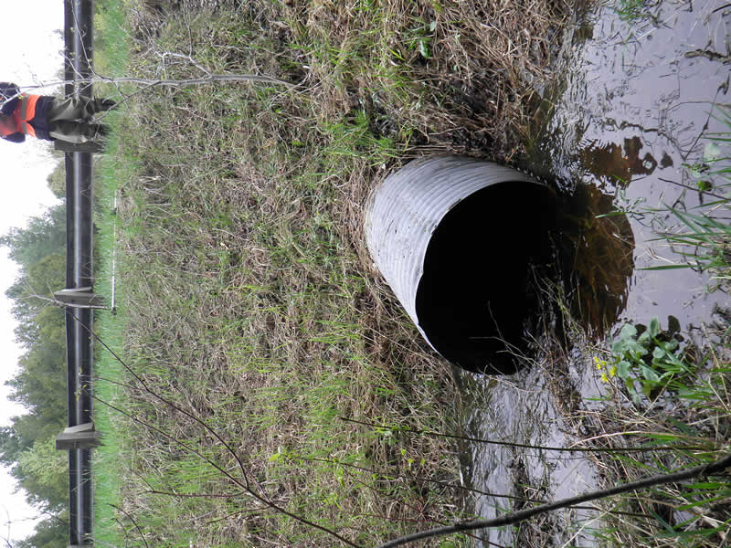
Inlet
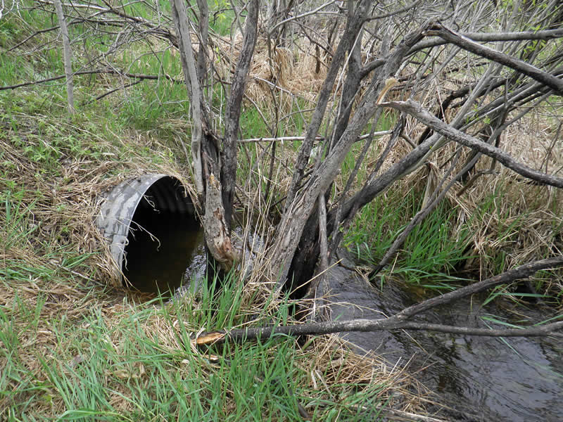
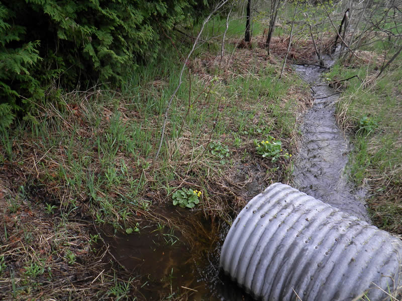
Outlet
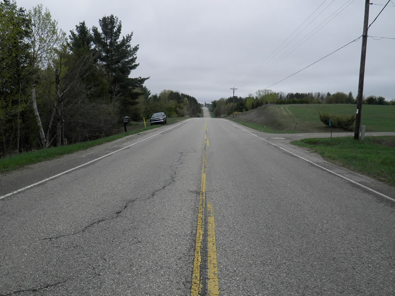
Upstream Conditions
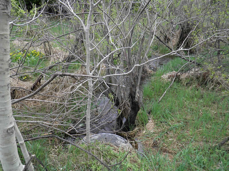
Downstream Conditions
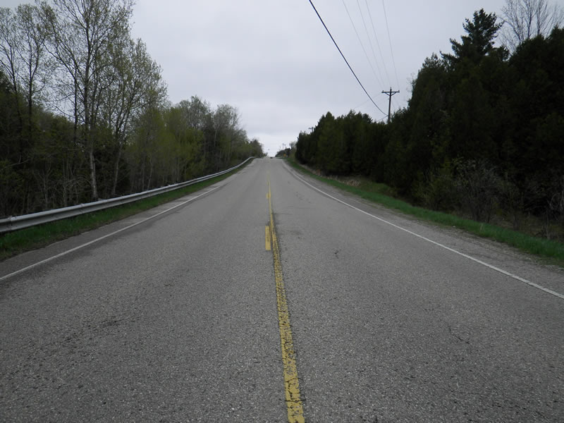
Road Approach - Left
Road Approach - Right
Crossing Information
Type of Crossing: culvert(s)
Number of Structures: 1
Structure Shape: Round
Inlet Type: Projecting
Outlet Type: At Stream Grade
Structure Material: Metal
Structure Substrate: Sand
General Conditions: Good
Structure Interior: corrugated
Dimensions of Structure: Length 76 ft.
, Width 3 ft.
, Height 3 ft.
Percentage Plugged:
Inlet: 0%
Outlet: 0%
In Pipe: 0%
Percentage Crushed:
Inlet: 0%
Outlet: 0%
In Pipe: 0%
Structure Inlet
Water Depth: 1.2 ft.
Embedded Depth of Structure: 0 ft.
Water Velocity*: 1.2 ft./sec.
Structure Outlet
Water Depth: 1 ft.
Embedded Depth of Structure: 0.6 ft.
Water Velocity*: 0.6 ft./sec.
*Water Velocities were measured 0.67 ft. below Surface
(with Meter)
Additional Comments
2796 Resort Pike. Old site ID: SC-7
Stream Information
Stream Flow: Bankfull
Riffle Information
Water Depth: 0.75 ft.
Bankfull Width: 3.17 ft.
Wetted Width: 2.5 ft.
Water Velocity: 0.8 ft./sec.
(Measured with Meter)
Dominant Substrate: sand/organics
Road Information
Paved
County Road
Road Condition: Good
Road Width at Culvert: 32 ft.
Location of Low Point: Other
Runoff Path: Ditch
Embankments
Upstream
Fill Depth: 7.5 ft.
Slope: 1:2
Downstream
Fill Depth: 7.5 ft.
Slope: 1:1.5
Approaches
Left Approach
Length: 250 ft.
Slope: 6% to 10%
Vegetation: Heavy
LS Factor: 1.32
Erosion: 0.3491 tons/year
Right Approach
Length: 150 ft.
Slope: Less Than 1%
Vegetation: Heavy
LS Factor: 0.05
Erosion: 0.0079 tons/year
Erosion Information
Total Erosion at Crossing: 0.3616 tons/year
Extent of Erosion: Minor
Location of Erosion | Erosion Dimensions | Eroded Material | Material Eroded | Total Erosion | ||
facing downstream | Length | Width | Depth | Reaching Stream? | (tons/year) | |
Right Upstream Ditch |
6 ft. |
1 ft. |
0.8 ft. |
no |
Sandy Loam |
0.0046 |
Summary Information
Fish Passability 0.9
These non-native species were observerd at this site: Phalaris Fields
�