Road Stream Crossing Site LTB-239
Little Traverse Bay Watershed, Bear River
Springbrook Rd
Melrose Twp,
Charlevoix County
Information collected by:
Site Location
GPS Coordinates: 45.21417572
, -84.87561194
Owned by Private
Fish Passability 0
Perch Height: 1.75 ft.
Total Erosion: 0.0669 tons/year
Severity: Severe
Year Inventoried: 2014
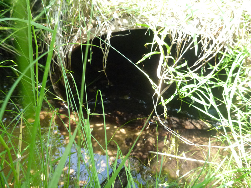
Inlet
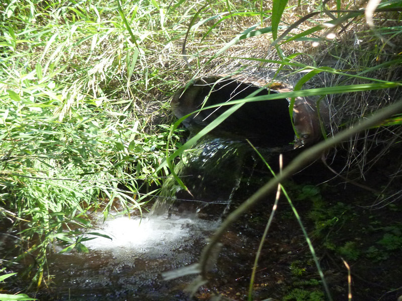
Outlet
Upstream Conditions
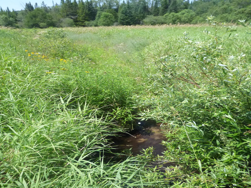
Downstream Conditions
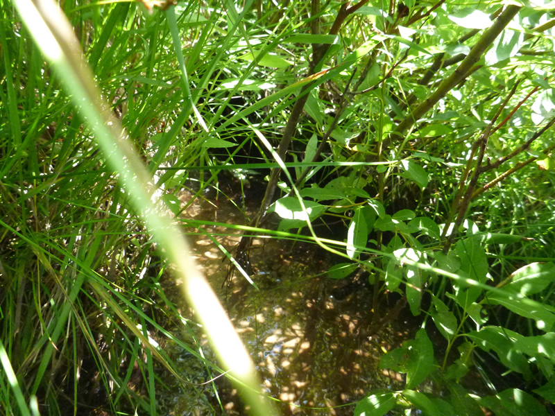
Downstream Conditions
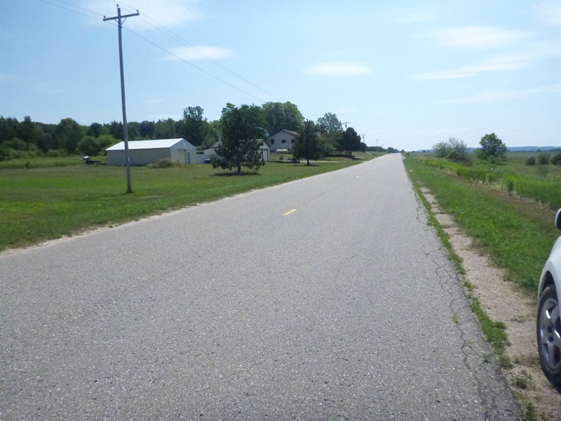
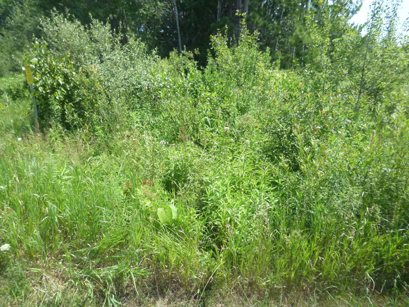
Road Approach - Left
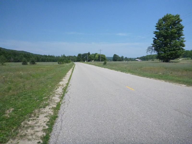
Road Approach - Right
Crossing Information
Type of Crossing: culvert(s)
Number of Structures: 2
Structure Shape: Round
Inlet Type: Projecting
Outlet Type: Freefall into Pool
Structure Material: Metal
Structure Substrate: None
General Conditions: Fair
Dimensions of Structure: Length 49 ft.
, Width 1.67 ft.
, Height 1.083 ft.
Percentage Plugged:
In Pipe: 26% to 50%
Percentage Crushed:
Outlet: 26% to 50%
In Pipe: 26% to 50%
Perch Height: 1.75 ft.
Structure Inlet
Water Depth: 0.167 ft.
Embedded Depth of Structure: 0 ft.
Water Velocity*: 0 ft./sec.
Structure Outlet
Water Depth: 0.167 ft.
Embedded Depth of Structure: 0 ft.
Water Velocity*: 0.4 ft./sec.
*Water Velocities were measured 0.083 ft. below Surface
(with Meter)
Additional Comments
00638 Springbrook. Old site ID: UT-14.
Stream Information
Stream Flow: Less than Bankfull
Scour Pool: Length 6 ft.
, Width 6 ft.
, Depth 1.25 ft.
Riffle Information
Water Depth: 0.167 ft.
Bankfull Width: 3 ft.
Wetted Width: 2.67 ft.
Water Velocity: 0.2 ft./sec.
(Measured with Meter)
Dominant Substrate: Organics
Road Information
Paved
County Road
Road Condition: Good
Road Width at Culvert: 27 ft.
Location of Low Point: At Stream
Runoff Path: Ditch
Embankments
Upstream
Fill Depth: 3 ft.
Slope: 1:2
Downstream
Fill Depth: 3 ft.
Slope: 1:2
Approaches
Left Approach
Length: 800 ft.
Slope: Less Than 1%
Vegetation: Heavy
LS Factor: 0.05
Erosion: 0.0357 tons/year
Right Approach
Length: 700 ft.
Slope: Less Than 1%
Vegetation: Heavy
LS Factor: 0.05
Erosion: 0.0312 tons/year
Erosion Information
Total Erosion at Crossing: 0.0669 tons/year
Extent of Erosion: Stabilized
Summary Information
Fish Passability 0
Fish Passage is an area of concern for this site.
Perched
�