Road Stream Crossing Site LTB-241
Little Traverse Bay Watershed, Spring Brook - South Branch
Springbrook Rd
Melrose Twp,
Charlevoix County
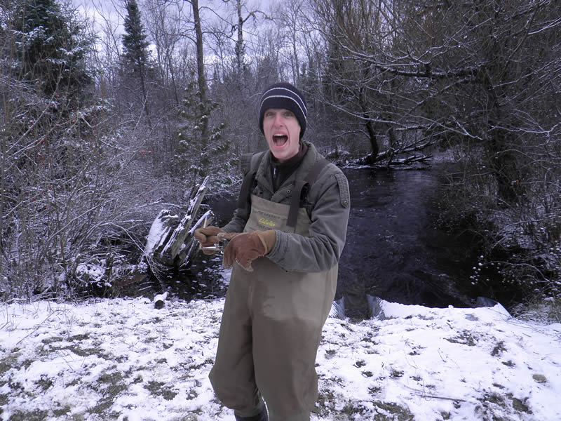
Information collected by:
Site Location
GPS Coordinates: 45.24898092
, -84.87787849
Fish Passability 0
Total Erosion: 0.1309 tons/year
Severity: Severe
Year Inventoried: 2014
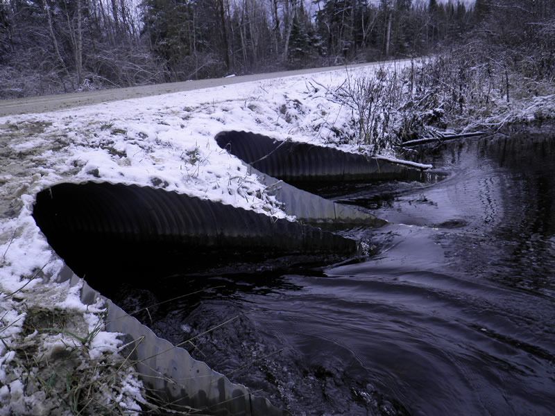
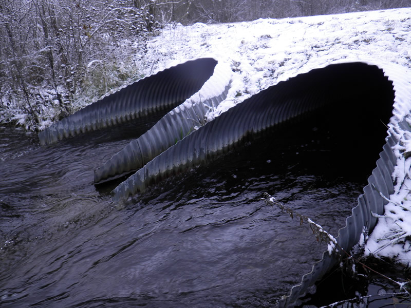
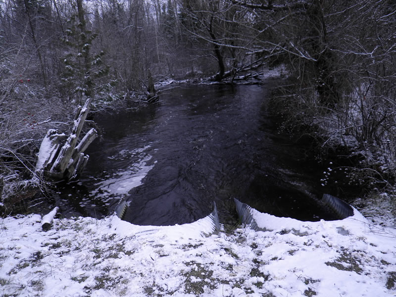
Inlet
Inlet
Upstream Conditions
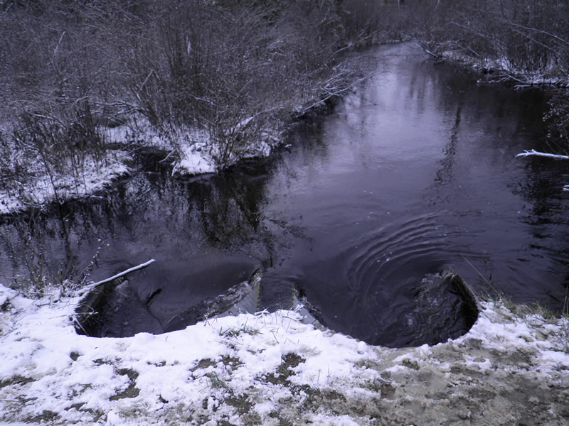
Downstream Conditions
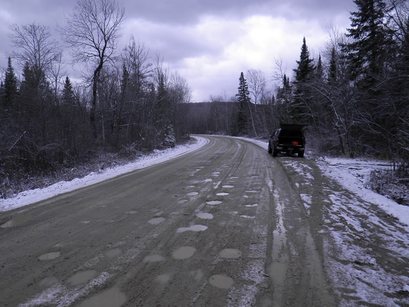
Road Approach - Right
Road Approach - Right
Other
Crossing Information
Type of Crossing: culvert(s)
Number of Structures: 2
Structure Shape: Round
Inlet Type: Projecting
Outlet Type: At Stream Grade
Structure Material: Metal
Structure Substrate: Gravel
General Conditions: Good
Multiple Culverts/Spans | ||||
Culvert/Span | Width | Length | Height | Material |
1 |
4.66 ft. |
56 ft. |
3.58 ft. |
Metal |
2 |
4.66 ft. |
56 ft. |
3.58 ft. |
Metal |
Structure Interior: corrugated
Dimensions of Structure: Length 56 ft.
Structure Inlet
Water Depth: 1.5 ft.
Embedded Depth of Structure: 0.1 ft.
Water Velocity*: 4.35 ft./sec.
Structure Outlet
Water Depth: 1.42 ft.
Embedded Depth of Structure: 0.1 ft.
Water Velocity*: 4.55 ft./sec.
(with Meter)
Additional Comments
Old site ID: SBS-13.
Stream Information
Stream Flow: Less than Bankfull
Riffle Information
Water Depth: 1.66 ft.
Bankfull Width: 20 ft.
Wetted Width: 20 ft.
Water Velocity: 1 ft./sec.
Dominant Substrate: Sand
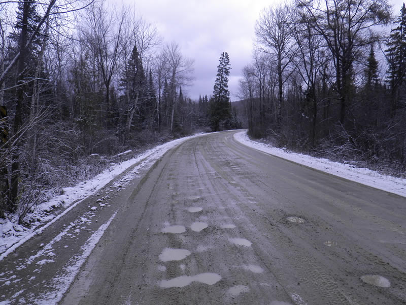
Road Information
Gravel
County Road
Road Condition: Good
Road Width at Culvert: 30 ft.
Location of Low Point: Other
Runoff Path: Roadway
Embankments
Upstream
Fill Depth: 1.5 ft.
Slope: More than 1:2
Downstream
Fill Depth: 1.5 ft.
Slope: More than 1:2
Approaches
Left Approach
Length: 100 ft.
Slope: Less Than 1%
Vegetation: None
LS Factor: 0.05
Erosion: 0.0413 tons/year
Right Approach
Length: 100 ft.
Slope: Less Than 1%
Vegetation: None
LS Factor: 0.05
Erosion: 0.0413 tons/year
Erosion Information
Total Erosion at Crossing: 0.1309 tons/year
Extent of Erosion: Moderate
Erosion is occurring and corrective actions can be installed to address the problem.
Notes: Erosion from gravel road, could be stabilized by bank stabilization.
Location of Erosion | Erosion Dimensions | Eroded Material | Material Eroded | Total Erosion | ||
facing downstream | Length | Width | Depth | Reaching Stream? | (tons/year) | |
Left Downstream Embankment |
8 ft. |
8 ft. |
0.5 ft. |
yes |
Sand |
0.0308 |
Right Upstream Embankment |
5 ft. |
10 ft. |
0.5 ft. |
yes |
Gravel |
0.0175 |
Summary Information
Fish Passability 0
Erosion is an area of concern for this site.
Erosion from road could be mitigated.
�