Road Stream Crossing Site LTB-243
Little Traverse Bay Watershed, Schoofs Creek
Resort Pike Rd 2954
Resort Twp,
Emmet County
Information collected by:
Site Location
GPS Coordinates: 45.33430152
, -84.99615973
Owned by Private
Fish Passability 0
Structure is NOT Perched
Total Erosion: 1.3678 tons/year
Severity: Severe
Year Inventoried: 2014
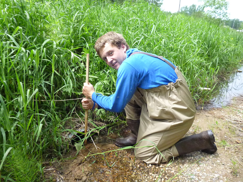
Inlet
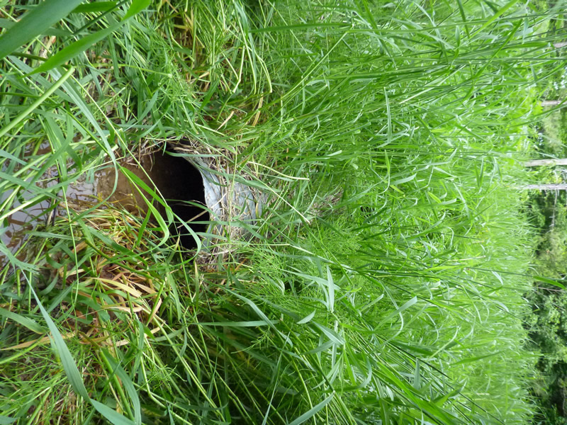
Outlet
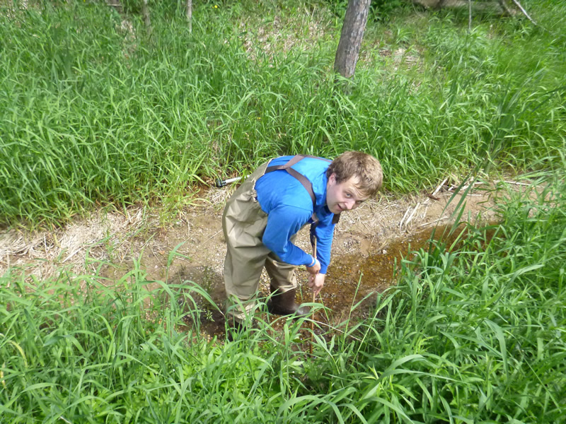
Upstream Conditions
Downstream Conditions
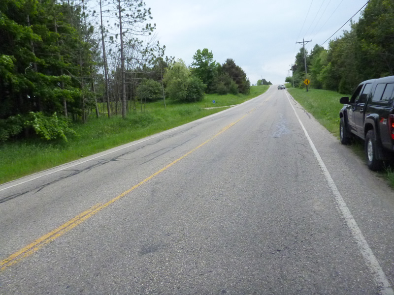
Road Approach - Left
Road Approach - Right
Crossing Information
Type of Crossing: culvert(s)
Number of Structures: 1
Structure Shape: Round
Inlet Type: Projecting
Outlet Type: Freefall into Pool
Structure Material: Metal
Structure Substrate: None
General Conditions: Good
Structure Interior: corrugated
Dimensions of Structure: Length 32 ft.
, Width 2 ft.
, Height 2 ft.
Percentage Plugged:
Inlet: 0%
Outlet: 0%
In Pipe: 0%
Percentage Crushed:
Inlet: 0%
Outlet: 0%
In Pipe: 0%
Structure is NOT Perched
Structure Inlet
Water Depth: 0.88 ft.
Embedded Depth of Structure: 0 ft.
Water Velocity*: 2.6 ft./sec.
Structure Outlet
Water Depth: 0.68 ft.
Embedded Depth of Structure: 0 ft.
Water Velocity*: 5.5 ft./sec.
*Water Velocities were measured 0.67 ft. below Surface
(with Meter)
Additional Comments
2954 Resort Pike. Old site ID: SC-8.
Stream Information
Stream Flow: Less than Bankfull
Scour Pool: Length 7 ft.
, Width 4 ft.
, Depth 2.083 ft.
Riffle Information
Water Depth: 0.7 ft.
Bankfull Width: 5.5 ft.
Wetted Width: 4 ft.
Water Velocity: 1.5 ft./sec.
(Measured with Meter)
Dominant Substrate: sand/organics
Road Information
Sand
Private Road
Road Condition: Good
Road Width at Culvert: 15 ft.
Location of Low Point: Other
Runoff Path: Roadway
Embankments
Upstream
Fill Depth: 3.5 ft.
Slope: 1:2
Downstream
Fill Depth: 3.2 ft.
Slope: 1:1.5
Approaches
Left Approach
Length: 20 ft.
Slope: Less Than 1%
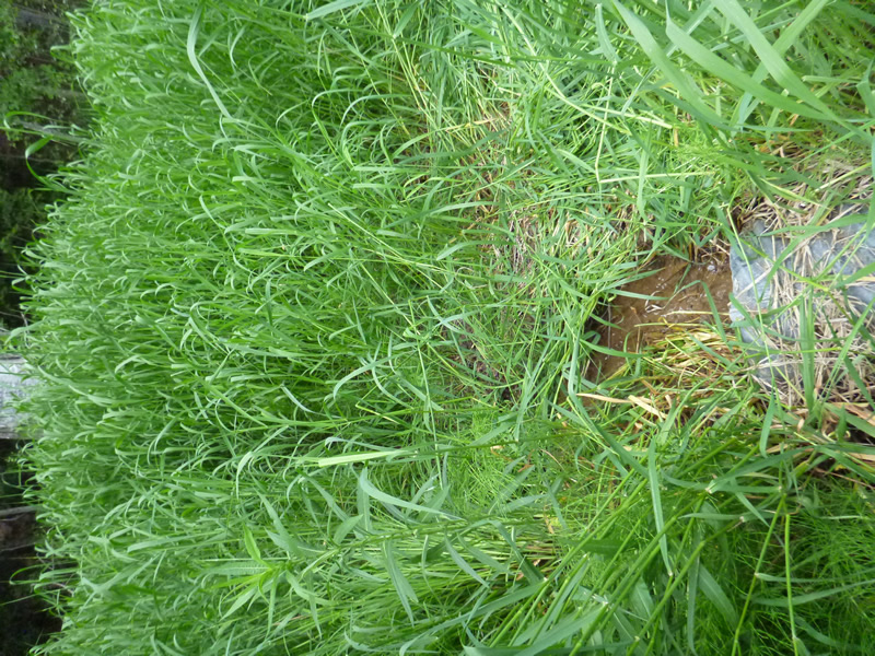
Vegetation: Heavy
LS Factor: 0.05
Erosion: 0.0041 tons/year
Right Approach
Length: 250 ft.
Slope: 6% to 10%
Vegetation: Heavy
LS Factor: 1.32
Erosion: 1.3636 tons/year
Erosion Information
Total Erosion at Crossing: 1.3678 tons/year
Extent of Erosion: Minor
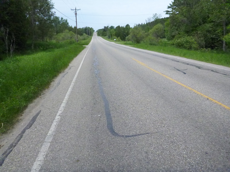
Notes: Plowed dirt on grass on downstream bank. Eroding material was plowed sand/gravel. Location of erosion was in the middle above the culvert.
Location of Erosion | Erosion Dimensions | Eroded Material | Material Eroded | Total Erosion | ||
facing downstream | Length | Width | Depth | Reaching Stream? | (tons/year) | |
Right Downtream Ditch |
12 ft. |
5 ft. |
0 ft. |
yes |
Sand |
0 |
Summary Information
Fish Passability 0
Fish Passage is an area of concern for this site.
maybe, flow velocity
These non-native species were observerd at this site: Myrtle
�