Road Stream Crossing Site LTB-244
Little Traverse Bay Watershed, Spring Brook
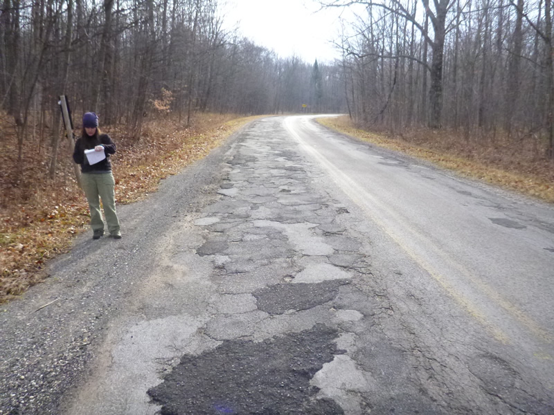
Slashing Rd
Melrose Twp,
Charlevoix County
Information collected by:
Site Location
GPS Coordinates: 45.20348643
, -84.81134114
Owned by State
Fish Passability 0
Perch Height: 2 ft.
Total Erosion: 0.2561 tons/year
Severity: Severe
Year Inventoried: 2014
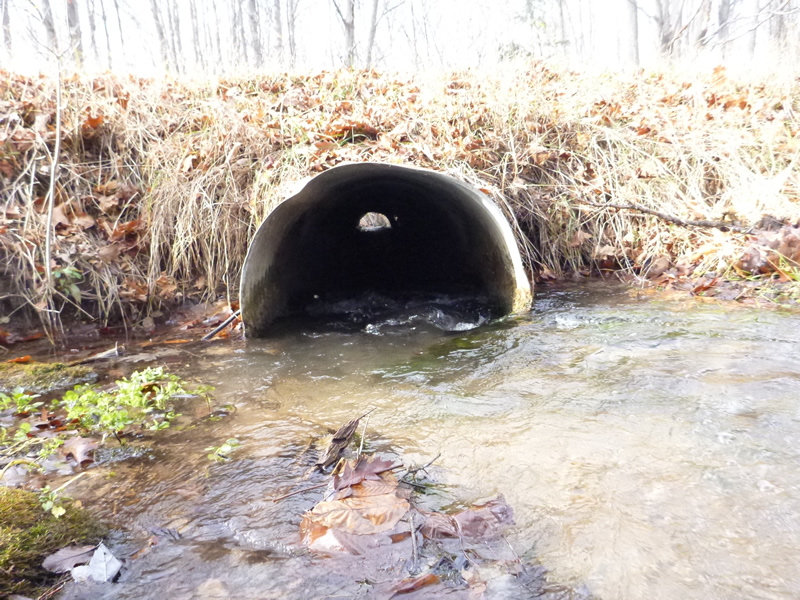
Inlet
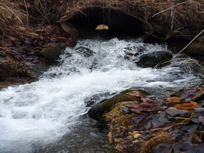
Outlet
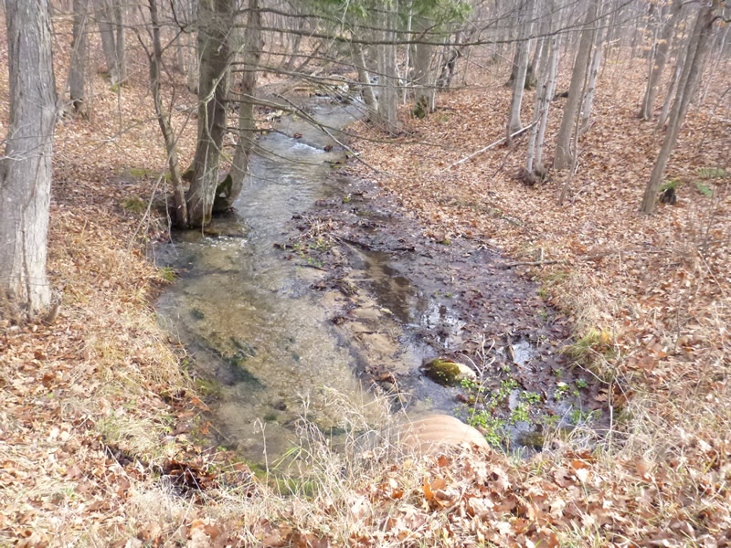
Upstream Conditions
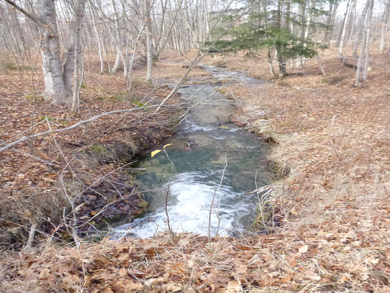
Downstream Conditions
Road Approach - Left
Road Approach - Right
Crossing Information
Type of Crossing: culvert(s)
Number of Structures: 1
Inlet Type: Projecting
Outlet Type: Freefall onto Riprap
Structure Material: Metal
Structure Substrate: None
General Conditions: Poor
Structure Interior: corrugated
Structure is Rusted through
Dimensions of Structure: Length 45 ft.
, Width 3.25 ft.
, Height 2.7 ft.
Percentage Plugged:
Inlet: 0%
Outlet: 0%
In Pipe: 0%
Percentage Crushed:
Inlet: 0%
Outlet: 0%
In Pipe: 0%
Perch Height: 2 ft.
Structure Inlet
Water Depth: 1.3 ft.
Water Velocity*: 2.4 ft./sec.
Structure Outlet
Water Depth: 0.6 ft.
Water Velocity*: 5.2 ft./sec.
*Water Velocities were measured 0.6 ft. below Surface
(with Meter)
Additional Comments
Old site ID: C-7.
Stream Information
Stream Flow: Less than 1/2 Bankfull
Scour Pool: Length 15 ft.
, Width 8 ft.
, Depth 1.5 ft.
Riffle Information
Water Depth: 0.29 ft.
Water Velocity: 1.78 ft./sec.
(Measured with Meter)
Dominant Substrate: Gravel/sand
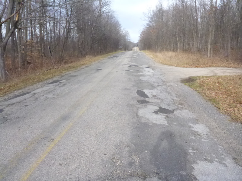
Road Information
Paved
County Road
Road Condition: Poor
Road Width at Culvert: 32 ft.
Location of Low Point: At Stream
Runoff Path: Ditch
Embankments
Upstream
Fill Depth: 2.3 ft.
Slope: 1:1.5
Downstream
Fill Depth: 3.5 ft.
Slope: Vertical
Approaches
Left Approach
Length: 100 ft.
Slope: 1% to 5%
Vegetation: Heavy
LS Factor: 0.38
Erosion: 0.0402 tons/year
Right Approach
Length: 100 ft.
Slope: 1% to 5%
Vegetation: Heavy
LS Factor: 0.38
Erosion: 0.0402 tons/year
Erosion Information
Total Erosion at Crossing: 0.2561 tons/year
Extent of Erosion: Moderate
Erosion is occurring and corrective actions can be installed to address the problem.
Notes: Eroding Left and Right of streambank throught, because velocity is blowing out streambanks. Material eroded is sand and gravel.
Corrective Action: New culvert/bridge, big and with correct slope
Location of Erosion | Erosion Dimensions | Eroded Material | Material Eroded | Total Erosion | ||
facing downstream | Length | Width | Depth | Reaching Stream? | (tons/year) | |
Right Upstream Streambank |
20 ft. |
2 ft. |
1 ft. |
yes |
Sand |
0.154 |
Left Upstream Streambank |
1 ft. |
5 ft. |
1 ft. |
yes |
Gravel |
0.007 |
Right Downstream Streambank |
1 ft. |
1 ft. |
1 ft. |
no |
Sand |
0.0077 |
Left Downstream Streambank |
1 ft. |
1 ft. |
1 ft. |
no |
Gravel |
0.007 |
Summary Information
Fish Passability 0
Fish Passage is an area of concern for this site.
YES, for fish passage AND erosion, because condition of culvert is so poor and the perch height. To date, this is the highest priority site.
A future visit to this site is recommended. Yes, because poor condition of culverts and elevation.
�