Road Stream Crossing Site LTB-245
Little Traverse Bay Watershed, Spring Brook - South Branch
Slashing Rd (South)
Chandler Twp,
Charlevoix County
Information collected by:
Site Location
GPS Coordinates: 45.20696253
, -84.80753937
Owned by State
Fish Passability 0
Perch Height: 0.25 ft.
Total Erosion: 0.707 tons/year
Severity: Severe
Year Inventoried: 2014
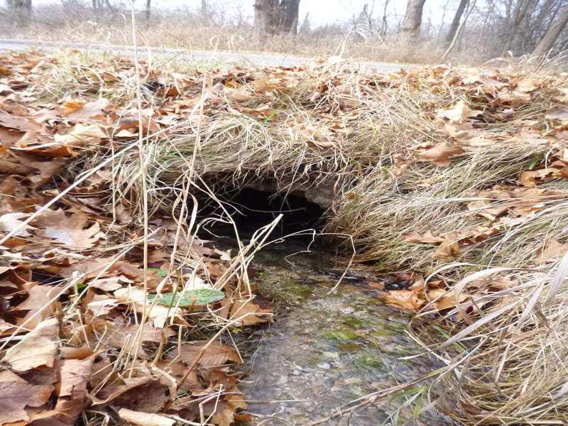
Inlet
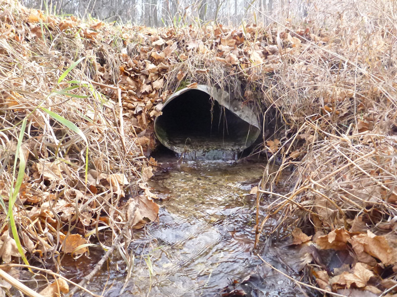
Outlet
Upstream Conditions
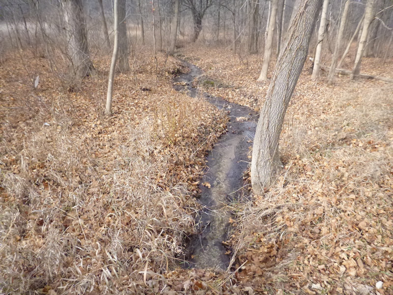
Downstream Conditions
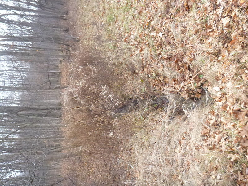
Road Approach - Left
Road Approach - Right
Crossing Information
Type of Crossing: culvert(s)
Number of Structures: 1
Structure Shape: Round
Inlet Type: Projecting
Outlet Type: At Stream Grade
Structure Material: Metal
Structure Substrate: None
General Conditions: Fair
Structure Interior: corrugated
Dimensions of Structure: Length 40.5 ft.
, Width 1.5 ft.
, Height 1 ft.
Percentage Plugged:
Inlet: 0%
Outlet: 0%
In Pipe: 0%
Percentage Crushed:
Inlet: 1% to 25%
Outlet: 1% to 25%
Perch Height: 0.25 ft.
Structure Inlet
Water Depth: 0.167 ft.
Water Velocity*: 1.4 ft./sec.
Structure Outlet
Water Depth: 0.083 ft.
Water Velocity*: 1.1 ft./sec.
*Water Velocities were measured 0.1 ft. below Surface
(with Meter)
Additional Comments
Old site ID: C-8.
Stream Information
Stream Flow: Less than 1/2 Bankfull
Scour Pool: Length 0 ft.
, Width 0 ft.
, Depth 0 ft.
Upstream Pond: Length 0 ft.
, Width 0 ft.
Riffle Information
Water Depth: 0.75 ft.
Water Velocity: 0.91 ft./sec.
(Measured with Meter)
Dominant Substrate: sand/gravel
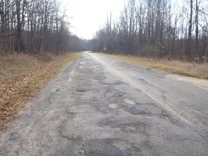
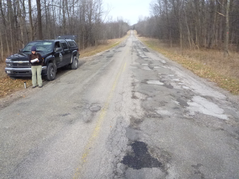
Road Information
Paved
County Road
Road Condition: Poor
Road Width at Culvert: 25 ft.
Location of Low Point: Other
Embankments
Upstream
Fill Depth: 1 ft.
Slope: More than 1:2
Downstream
Fill Depth: 1 ft.
Slope: 1:2
Approaches
Left Approach
Length: 100 ft.
Slope: 1% to 5%
Vegetation: Heavy
LS Factor: 0.38
Erosion: 0.0314 tons/year
Right Approach
Length: 500 ft.
Slope: 6% to 10%
Vegetation: Heavy
LS Factor: 1.635
Erosion: 0.6756 tons/year
Erosion Information
Total Erosion at Crossing: 0.707 tons/year
Summary Information
Fish Passability 0
�