Road Stream Crossing Site LTB-246
Little Traverse Bay Watershed, Spring Brook tributary South
Slashing Rd (North)
Chandler Twp,
Charlevoix County
Information collected by:
Site Location
GPS Coordinates: 45.20994278
, -84.80696257
Owned by State
Fish Passability 0.5
Total Erosion: 2.5111 tons/year
Severity: Moderate
Year Inventoried: 2014
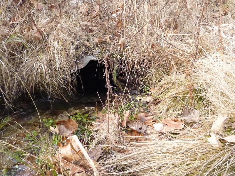
Inlet
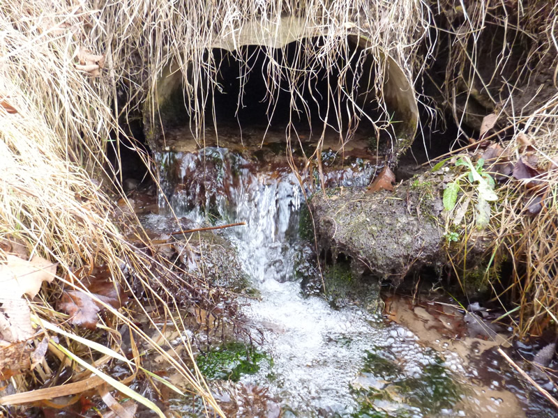
Outlet
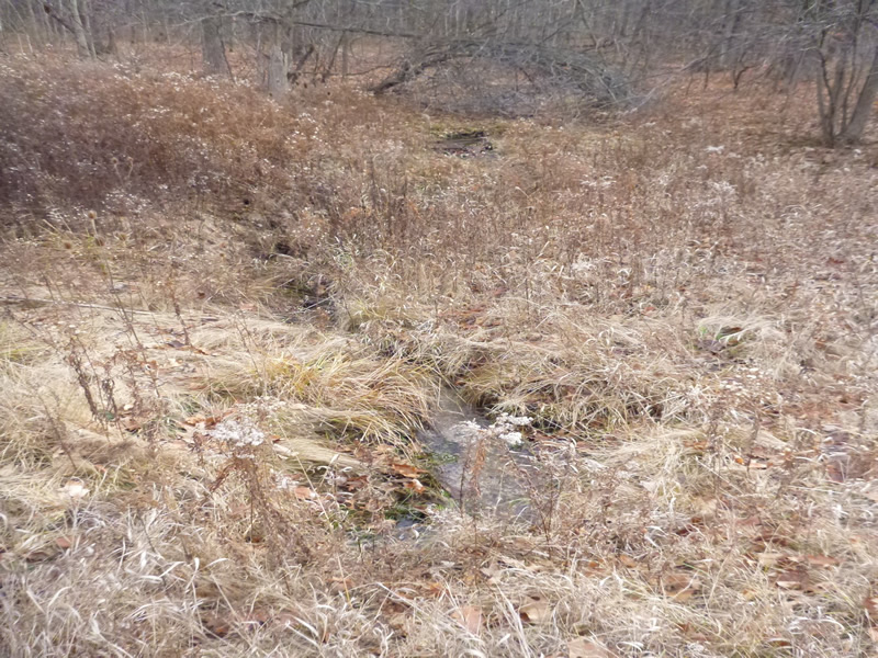
Upstream Conditions
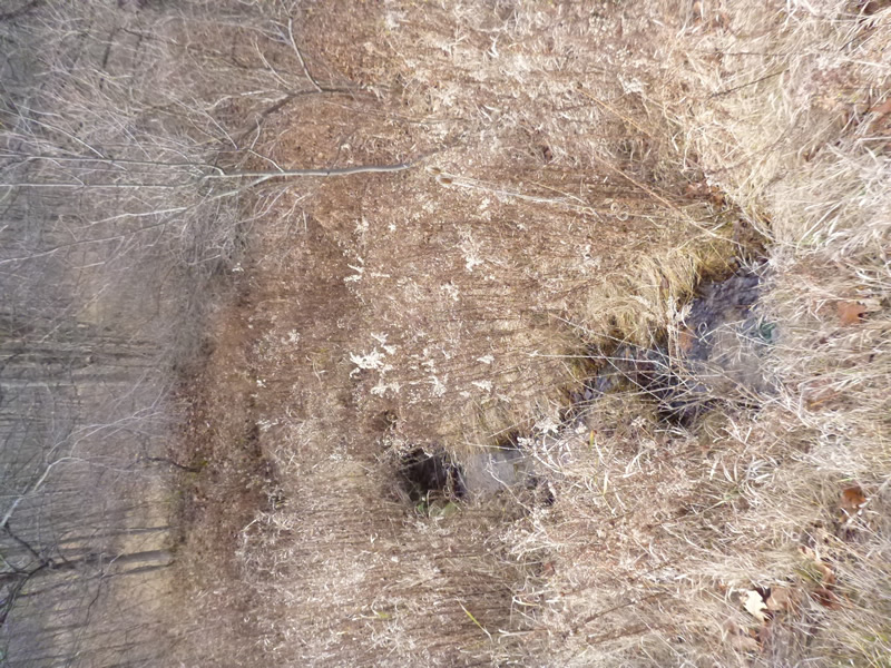
Downstream Conditions
Road Approach - Left
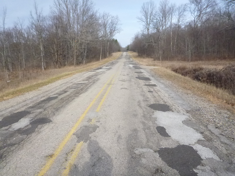
Road Approach - Right
Crossing Information
Type of Crossing: culvert(s)
Number of Structures: 1
Structure Shape: Ellipse
Inlet Type: Projecting
Outlet Type: Cascade over Riprap
Structure Material: Metal
Structure Substrate: Sand
General Conditions: Fair
Structure Interior: corrugated
Dimensions of Structure: Length 41 ft.
, Width 1.83 ft.
, Height 1.25 ft.
Percentage Plugged:
Outlet: 1% to 25%
Percentage Crushed:
Outlet: 1% to 25%
Structure Inlet
Water Depth: 0.167 ft.
Water Velocity*: 1.05 ft./sec.
Structure Outlet
Water Depth: 0.25 ft.
Water Velocity*: 1.85 ft./sec.
*Water Velocities were measured 0.1 ft. below Surface
(with Meter)
Additional Comments
Old site ID: C-8.
Stream Information
Stream Flow: Less than 1/2 Bankfull
Riffle Information
Water Depth: 0.1 ft.
Bankfull Width: 7.7 ft.
Wetted Width: 3.6 ft.
Water Velocity: 0.4 ft./sec.
(Measured with Meter)
Dominant Substrate: Sand
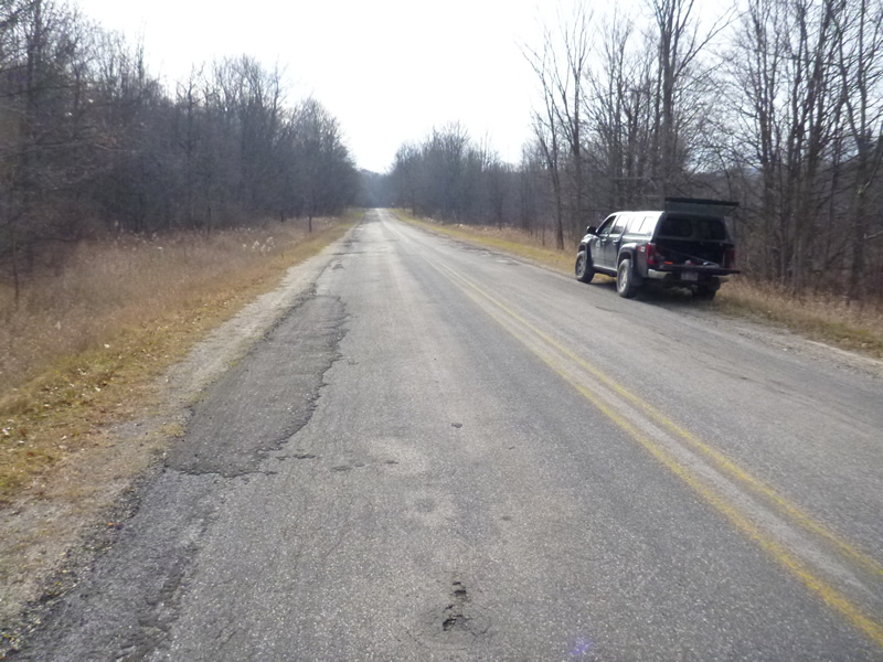
Road Information
Paved
County Road
Road Condition: Poor
Road Width at Culvert: 29 ft.
Location of Low Point: At Stream
Runoff Path: Ditch
Embankments
Upstream
Fill Depth: 2.7 ft.
Downstream
Fill Depth: 3 ft.
Approaches
Left Approach
Length: 999 ft.
Slope: 1% to 5%
Vegetation: Heavy
LS Factor: 0.57
Erosion: 0.5458 tons/year
Right Approach
Length: 1000 ft.
Slope: 6% to 10%
Vegetation: Heavy
LS Factor: 2.05
Erosion: 1.9653 tons/year
Erosion Information
Total Erosion at Crossing: 2.5111 tons/year
Extent of Erosion: Stabilized
Notes: NONE
Summary Information
Fish Passability 0.5
�