Road Stream Crossing Site LTB-248
Little Traverse Bay Watershed, Tributary to South Branch - Spring Brook
Logging/2-track off of Chandler Hill Rd.
Chandler Twp,
Charlevoix County
Information collected by:
Site Location
GPS Coordinates: 45.20733668
, -84.83415049
Owned by State
Fish Passability 0
Perch Height: 0.2 ft.
Total Erosion: 0.0519 tons/year
Severity: Severe
Year Inventoried: 2014
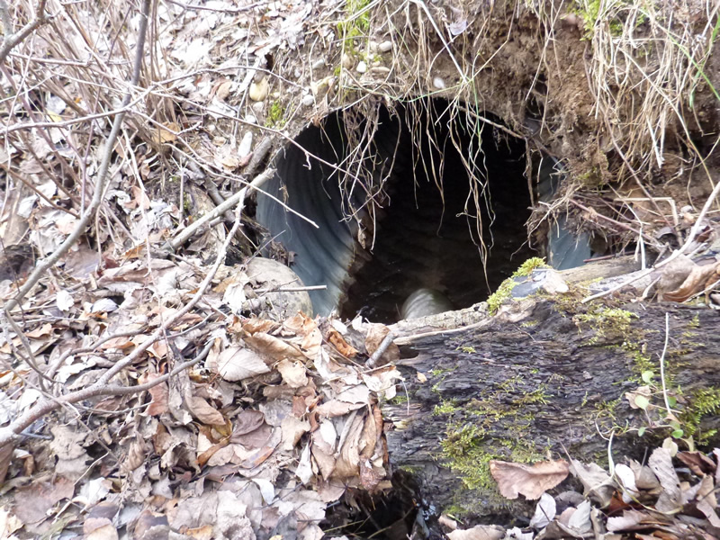
Inlet
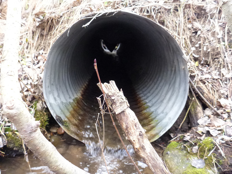
Outlet
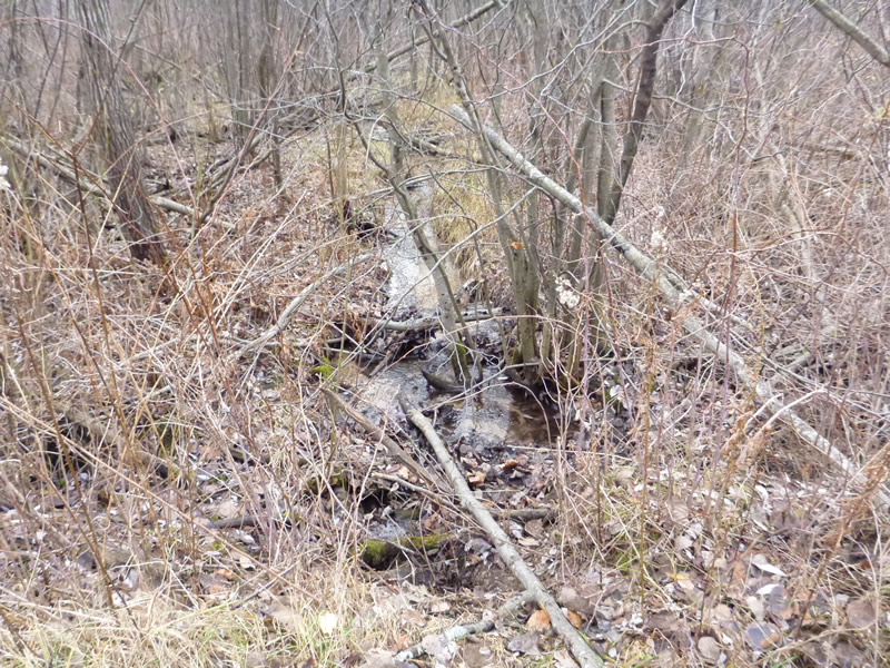
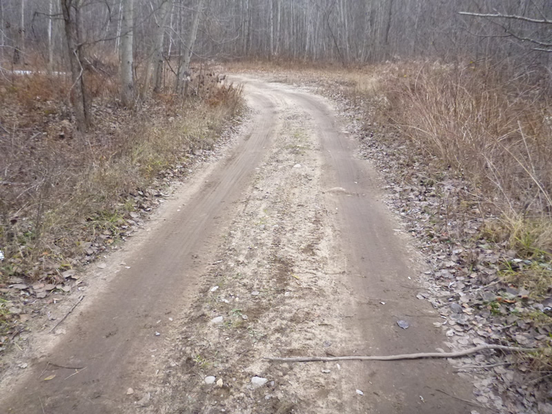
Upstream Conditions
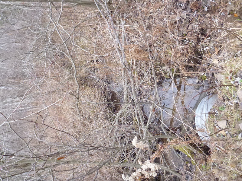
Downstream Conditions
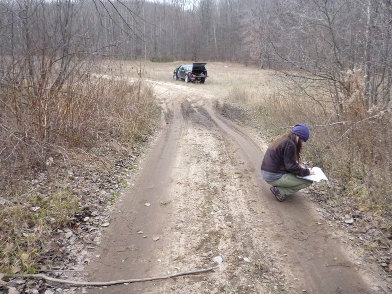
Road Approach - Left
Road Approach - Right
Crossing Information
Type of Crossing: culvert(s)
Number of Structures: 1
Structure Shape: Round
Inlet Type: Projecting
Outlet Type: Freefall into Pool
Structure Material: Metal
Structure Substrate: None
General Conditions: Good
Structure Interior: corrugated
Dimensions of Structure: Length 20 ft.
, Width 20 ft.
Percentage Plugged:
Inlet: 0%
Outlet: 0%
In Pipe: 0%
Percentage Crushed:
In Pipe: 1% to 25%
Perch Height: 0.2 ft.
Structure Inlet
Water Depth: 0.2 ft.
Water Velocity*: 0.51 ft./sec.
Structure Outlet
Water Depth: 0.1 ft.
Water Velocity*: 2 ft./sec.
*Water Velocities were measured 0.1 ft. below Surface
Additional Comments
MDOT. Old site ID: C-9.
Stream Information
Stream Flow: Less than 1/2 Bankfull
Riffle Information
Water Depth: 0.25 ft.
Water Velocity: 0.375 ft./sec.
(Measured with Meter)
Dominant Substrate: sand/organics
Road Information
Native Surface
State Road
Road Condition: Poor
Road Width at Culvert: 13 ft.
Location of Low Point: Other
Runoff Path: Roadway
Embankments
Upstream
Fill Depth: 1 ft.
Slope: 1:2
Downstream
Fill Depth: 1.75 ft.
Slope: Vertical
Approaches
Left Approach
Length: 25 ft.
Slope: 1% to 5%
Vegetation: Heavy
LS Factor: 0.29
Erosion: 0.026 tons/year
Right Approach
Length: 25 ft.
Slope: 1% to 5%
Vegetation: Heavy
LS Factor: 0.29
Erosion: 0.026 tons/year
Erosion Information
Total Erosion at Crossing: 0.0519 tons/year
Summary Information
Fish Passability 0
�