Road Stream Crossing Site LTB-251
Little Traverse Bay Watershed, Tributary to North Branch - Spring Brook
Howard Rd
Chandler Twp,
Charlevoix County
Information collected by:
Site Location
GPS Coordinates: 45.22242738
, -84.81113132
Fish Passability 0
Perch Height: 6 ft.
Total Erosion: 4.4817 tons/year
Severity: Severe
Year Inventoried: 2014
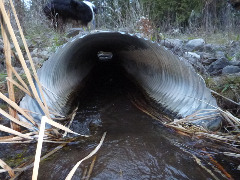
Inlet
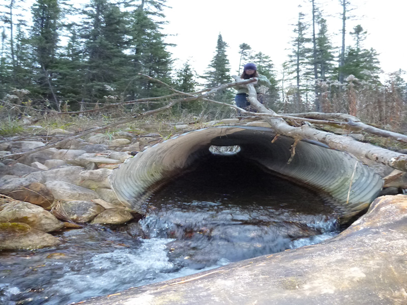
Outlet
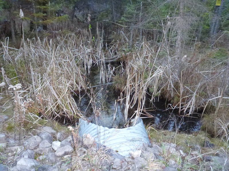
Upstream Conditions
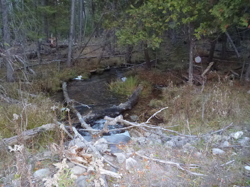
Downstream Conditions
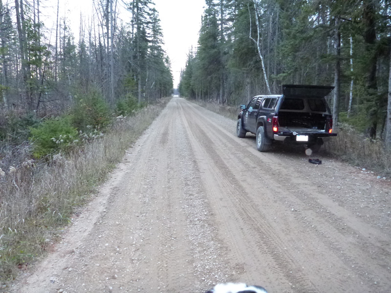
Road Approach - Left
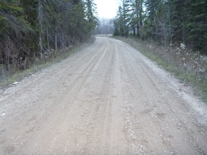
Road Approach - Right
Crossing Information
Type of Crossing: culvert(s)
Number of Structures: 1
Structure Shape: Pipe Arch
Inlet Type: Mitered
Outlet Type: Cascade over Riprap
Structure Material: Metal
Structure Substrate: None
General Conditions: New
Structure Interior: corrugated
Dimensions of Structure: Length 45 ft.
, Width 3.5 ft.
, Height 2.5 ft.
Percentage Plugged:
Inlet: 0%
Outlet: 0%
In Pipe: 0%
Percentage Crushed:
In Pipe: 1% to 25%
Perch Height: 6 ft.
Structure Inlet
Water Depth: 0.35 ft.
Embedded Depth of Structure: 3.83 ft.
Water Velocity*: 3.7 ft./sec.
Structure Outlet
Water Depth: 0.35 ft.
Water Velocity*: 3.7 ft./sec.
*Water Velocities were measured 0.6 ft. below Surface
(with Meter)
Additional Comments
Old site ID: C-13.
Stream Information
Stream Flow: Less than Bankfull
Upstream Pond: Length 8 ft.
, Width 6 ft.
Riffle Information
Water Depth: 0.5 ft.
Bankfull Width: 14.6 ft.
Wetted Width: 9.6 ft.
Water Velocity: 0.54 ft./sec.
(Measured with Meter)
Dominant Substrate: sand/organics
Road Information
Gravel
County Road
Road Condition: Good
Road Width at Culvert: 23 ft.
Location of Low Point: At Stream
Runoff Path: Roadway
Embankments
Upstream
Fill Depth: 1 ft.
Slope: More than 1:2
Downstream
Fill Depth: 1 ft.
Slope: 1:2
Approaches
Left Approach
Length: 999 ft.
Slope: 1% to 5%
Vegetation: Heavy
LS Factor: 0.57
Erosion: 3.6073 tons/year
Right Approach
Length: 300 ft.
Slope: 1% to 5%
Vegetation: Heavy
LS Factor: 0.46
Erosion: 0.8744 tons/year
Erosion Information
Total Erosion at Crossing: 4.4817 tons/year
Summary Information
Fish Passability 0
A future visit to this site is recommended. To check on partial collapsed buckle of culvert near outlet.
�