Road Stream Crossing Site LTB-253
Little Traverse Bay Watershed, Tributary to North Branch - Spring Brook
Howard Rd
Chandler Twp,
Charlevoix County
Information collected by:
Site Location
GPS Coordinates: 45.22958722
, -84.81485379
Sec 28
Fish Passability 0.9
Total Erosion: 0.5779 tons/year
Severity: Moderate
Year Inventoried: 2014
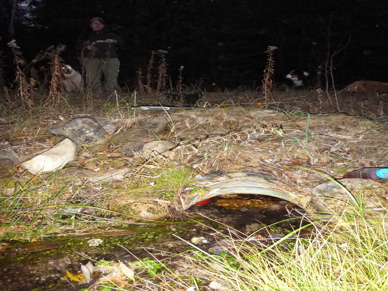
Inlet
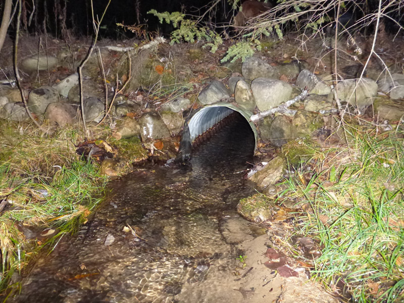
Outlet
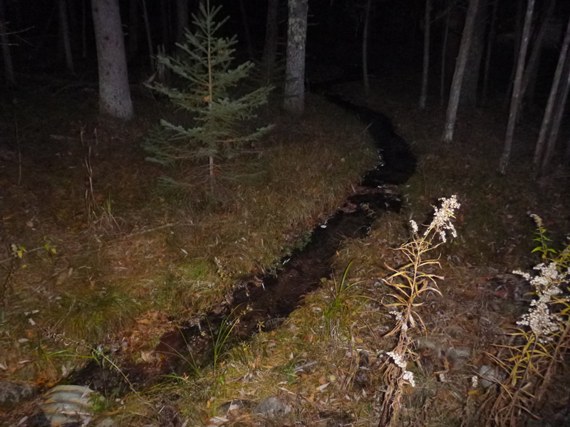
Upstream Conditions
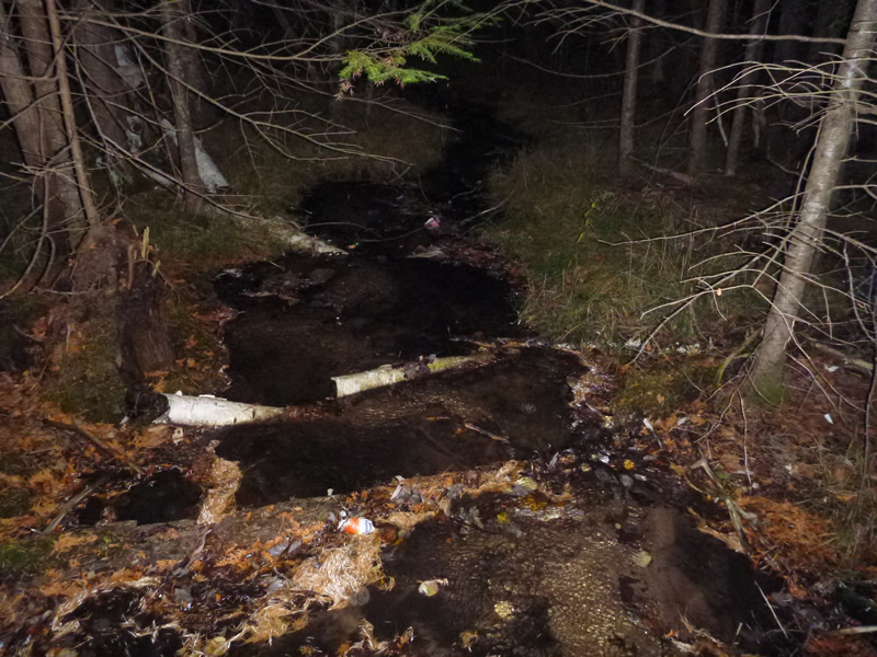
Downstream Conditions
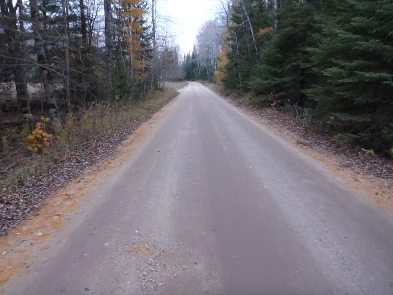
Road Approach - Left
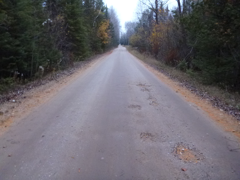
Road Approach - Right
Crossing Information
Type of Crossing: culvert(s)
Number of Structures: 1
Structure Shape: Round
Inlet Type: Projecting
Outlet Type: At Stream Grade
Structure Material: Metal
Structure Substrate: Sand
General Conditions: Good
Structure Interior: corrugated
Dimensions of Structure: Length 40 ft.
, Width 1.25 ft.
Percentage Plugged:
Inlet: 0%
Outlet: 0%
In Pipe: 0%
Percentage Crushed:
Inlet: 0%
Outlet: 0%
In Pipe: 0%
Structure Inlet
Water Depth: 0.5 ft.
Embedded Depth of Structure: 0.208 ft.
Water Velocity*: 1.61 ft./sec.
Structure Outlet
Water Depth: 0.5 ft.
Embedded Depth of Structure: 0 ft.
Water Velocity*: 0.73 ft./sec.
*Water Velocities were measured 0.6 ft. below Surface
(with Meter)
Additional Comments
MDNR, Awesome little stream. Old site ID: C-15.
Stream Information
Stream Flow: Less than Bankfull
Riffle Information
Water Depth: 0.3 ft.
Bankfull Width: 4.7 ft.
Wetted Width: 4 ft.
Water Velocity: 0.467 ft./sec.
Dominant Substrate: Sand
Road Information
Gravel
County Road
Road Condition: Good
Road Width at Culvert: 21 ft.
Location of Low Point: At Stream
Runoff Path: Roadway
Embankments
Upstream
Fill Depth: 1 ft.
Slope: More than 1:2
Downstream
Fill Depth: 1.5 ft.
Slope: 1:2
Approaches
Left Approach
Length: 999 ft.
Slope: Less Than 1%
Vegetation: Heavy
LS Factor: 0.05
Erosion: 0.289 tons/year
Right Approach
Length: 999 ft.
Slope: Less Than 1%
Vegetation: Heavy
LS Factor: 0.05
Erosion: 0.289 tons/year
Erosion Information
Total Erosion at Crossing: 0.5779 tons/year
Summary Information
Fish Passability 0.9
�