Road Stream Crossing Site LTB-254
Little Traverse Bay Watershed, Spring Brook - South Branch
Chandler Hill Rd
Chandler Twp,
Charlevoix County
Information collected by:
Site Location
GPS Coordinates: 45.23045124
, -84.83592735
Sec 30
Owned by State
Private
Private
Fish Passability 0
Perch Height: 0.3 ft.
Total Erosion: 25.647 tons/year
Severity: Severe
Year Inventoried: 2014
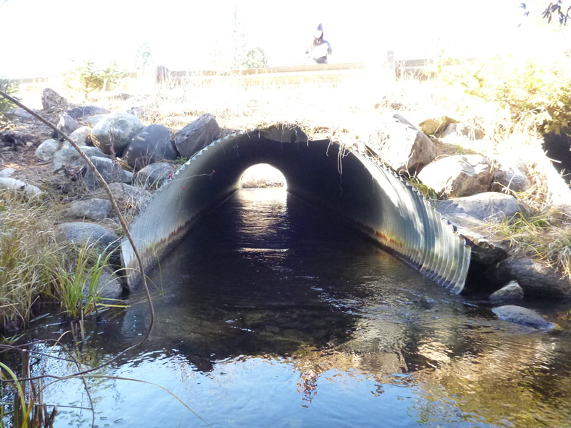
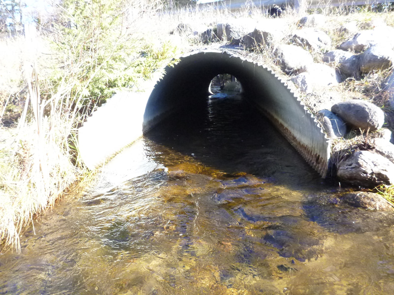
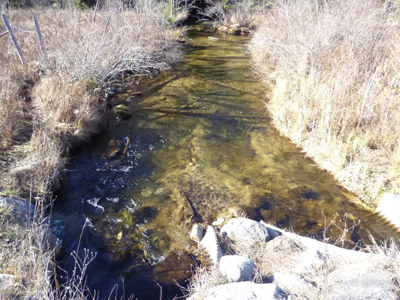
Inlet
Inlet
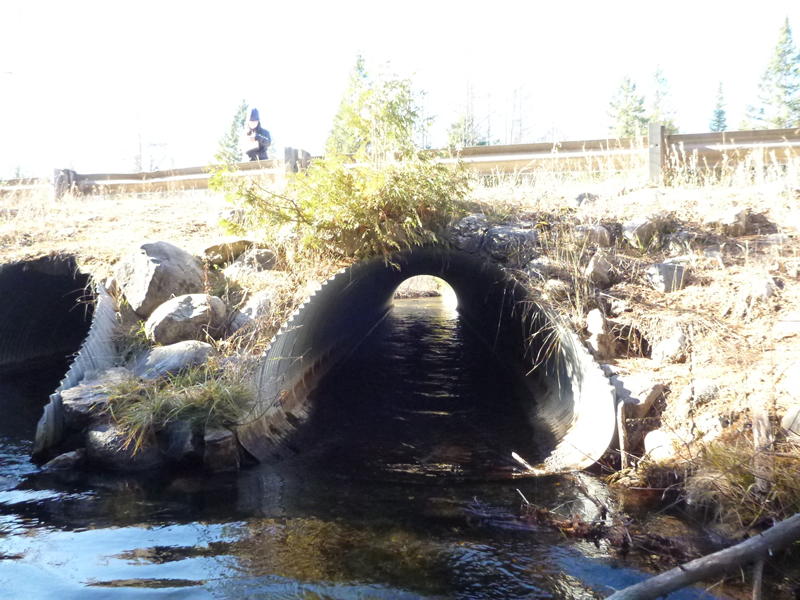
Outlet
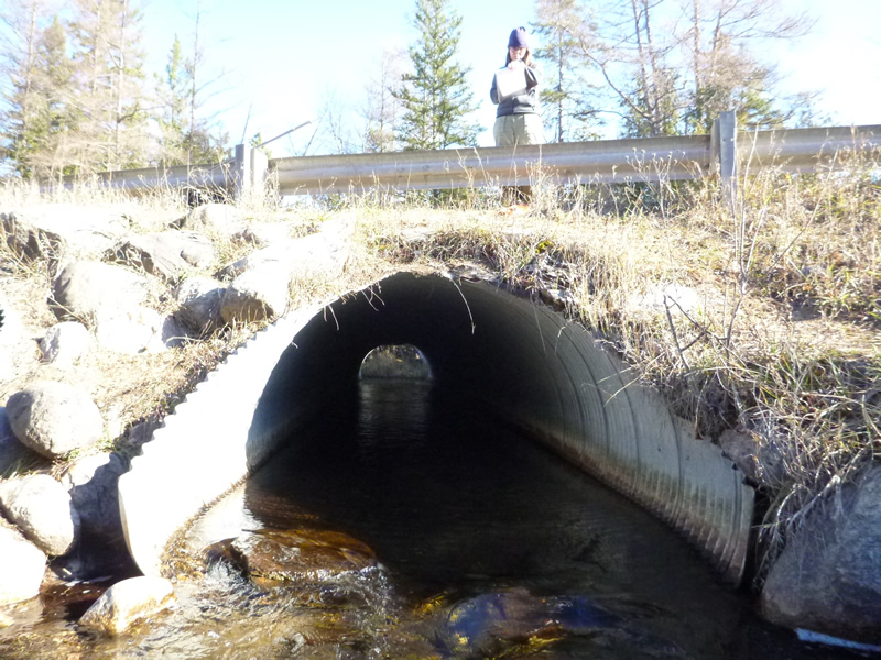
Outlet
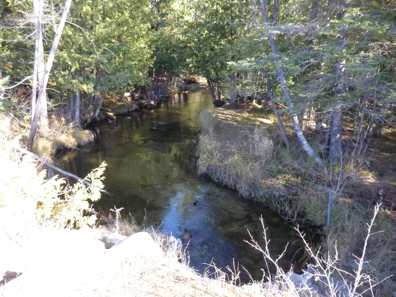
Upstream Conditions
Downstream Conditions
Road Approach - Left
Road Approach - Right
Crossing Information
Type of Crossing: culvert(s)
Number of Structures: 2
Structure Shape: Pipe Arch
Inlet Type: Mitered
Outlet Type: At Stream Grade
Structure Material: Metal
Structure Substrate: Gravel
General Conditions: Good
Multiple Culverts/Spans | ||||
Culvert/Span | Width | Length | Height | Material |
1 |
6.5 ft. |
52 ft. |
5 ft. |
Metal |
2 |
6 ft. |
52 ft. |
5 ft. |
Metal |
Structure Interior: corrugated
Percentage Plugged:
Inlet: 0%
Outlet: 0%
In Pipe: 0%
Percentage Crushed:
In Pipe: 1% to 25%
Perch Height: 0.3 ft.
Structure Inlet
Water Depth: 0.55 ft.
Water Velocity*: 3.6 ft./sec.
Structure Outlet
Water Depth: 1 ft.
Water Velocity*: 1.2 ft./sec.
*Water Velocities were measured 0.6 ft. below Surface
(with Meter)
Additional Comments
Old site ID: C-16.
Stream Information
Stream Flow: Less than Bankfull
Riffle Information
Water Depth: 0.9 ft.
Water Velocity: 0.618 ft./sec.
Dominant Substrate: sand/organics
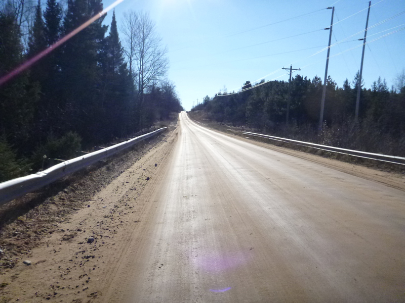
Road Information
Gravel
County Road
Road Condition: Good
Road Width at Culvert: 35.5 ft.
Runoff Path: Roadway
Embankments
Upstream
Fill Depth: 3 ft.
Slope: Vertical
Downstream
Fill Depth: 3 ft.
Slope: Vertical
Approaches
Left Approach
Length: 1000 ft.
Slope: 6% to 10%
Vegetation: Heavy
LS Factor: 2.05
Erosion: 20.0482 tons/year
Right Approach
Length: 999 ft.
Slope: 1% to 5%
Vegetation: Heavy
LS Factor: 0.57
Erosion: 5.5678 tons/year
Erosion Information
Total Erosion at Crossing: 25.647 tons/year
Extent of Erosion: Minor
Notes: Not from runoff perse, probably road maintenance. Pushes gravel to side and creates slope.
Location of Erosion | Erosion Dimensions | Eroded Material | Material Eroded | Total Erosion | ||
facing downstream | Length | Width | Depth | Reaching Stream? | (tons/year) | |
Right Upstream Embankment |
20 ft. |
5 ft. |
1 ft. |
yes |
Gravel |
0.02 |
Left Upstream Ditch |
10 ft. |
10 ft. |
1 ft. |
yes |
Sand |
0.011 |
Left Downstream Ditch |
0 ft. |
0 ft. |
0 ft. |
yes |
Clay |
0 |
Right Upstream Embankment |
0 ft. |
0 ft. |
0 ft. |
yes |
Gravel |
0 |
Summary Information
Fish Passability 0
�