Road Stream Crossing Site LTB-255
Little Traverse Bay Watershed, Tributary to North Branch - Spring Brook
Two-track/forest road
Chandler Twp,
Charlevoix County
Information collected by:
Site Location
GPS Coordinates: 45.26632568
, -84.81949787
Sec 8
Fish Passability 0.9
Total Erosion: 0.1152 tons/year
Severity: Minor
Year Inventoried: 2014
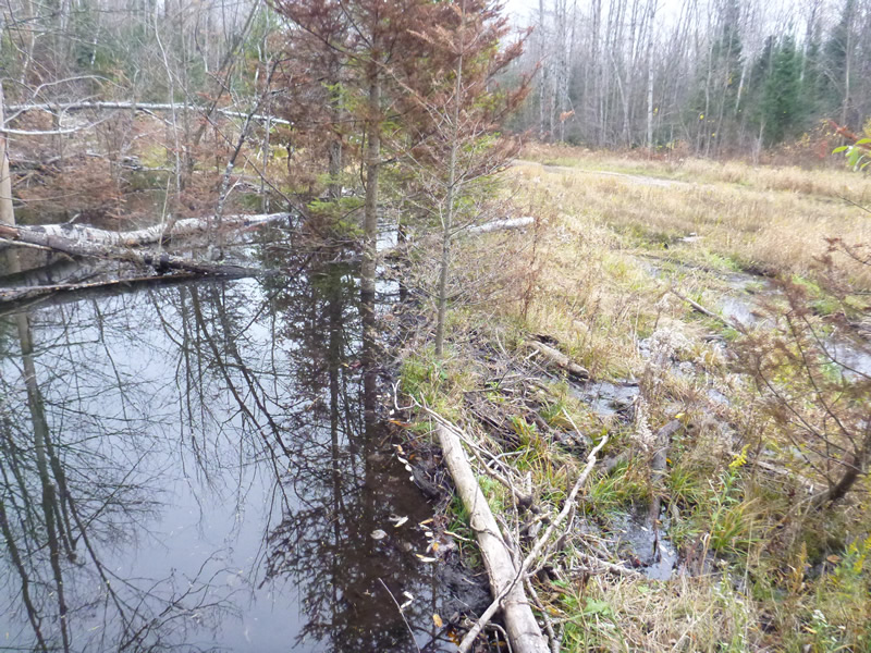
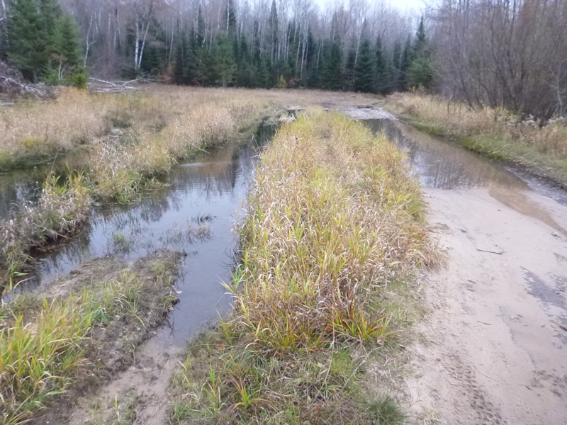
Inlet
Inlet
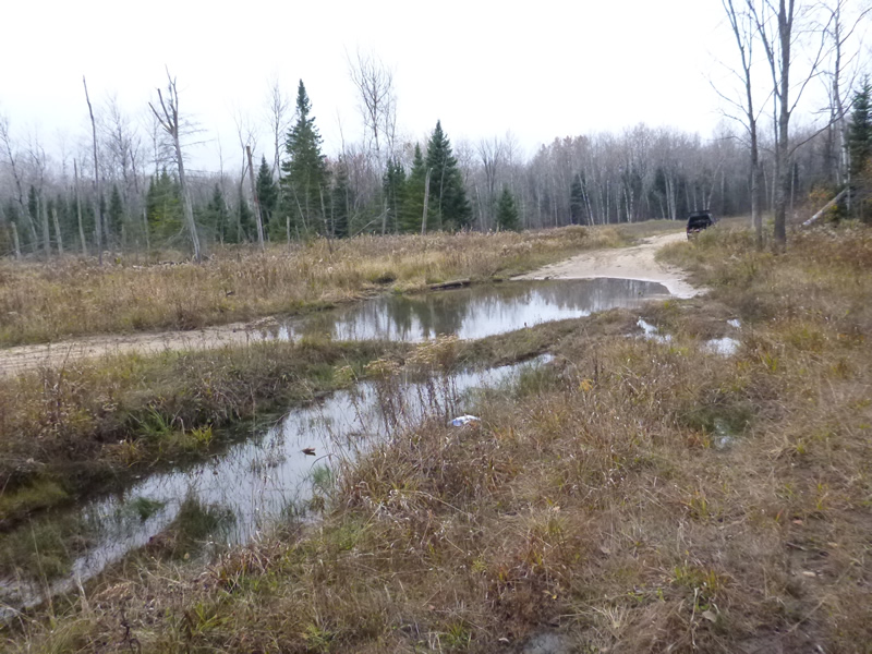
Outlet
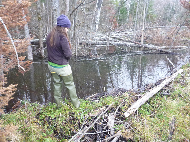
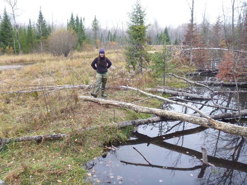
Downstream Conditions
Downstream Conditions
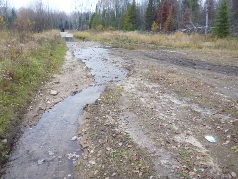
Road Approach - Left
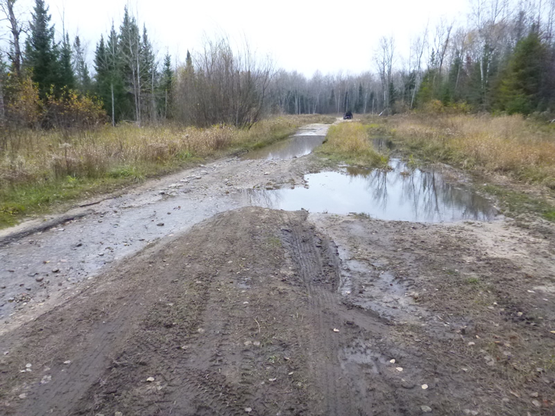
Road Approach - Right
Crossing Information
Type of Crossing: culvert(s)
Number of Structures: 1
Structure Shape: Round
Inlet Type: Projecting
Outlet Type: Other
Structure Material: Metal
Structure Substrate: Mixture
General Conditions: Fair
Structure Interior: corrugated
Dimensions of Structure: Length 20 ft.
, Width 1 ft.
, Height 1 ft.
Percentage Plugged:
In Pipe: 1% to 25%
Structure Inlet
Water Depth: 0.5 ft.
Water Velocity*: 0.394 ft./sec.
Structure Outlet
Water Depth: 1.2 ft.
Water Velocity*: 0.066 ft./sec.
(with Meter)
Additional Comments
Old site ID: C-18.
Stream Information
Stream Flow: Less than Bankfull
Riffle Information
Water Depth: 0.5 ft.
Bankfull Width: 11 ft.
Road Information
Sand
Other Road
Road Width at Culvert: 11 ft.
Location of Low Point: Other
Slope: More than 1:2
Slope: More than 1:2
Approaches
Left Approach
Length: 0 ft.
Slope: 1% to 5%
Vegetation: Heavy
LS Factor: 0.26
Erosion: 0 tons/year
Right Approach
Length: 100 ft.
Slope: 1% to 5%
Vegetation: Heavy
LS Factor: 0.38
Erosion: 0.1152 tons/year
Erosion Information
Total Erosion at Crossing: 0.1152 tons/year
Summary Information
Fish Passability 0.9
�