Road Stream Crossing Site LTB-256
Little Traverse Bay Watershed, Tributary to North Branch - Spring Brook
2-track/state
Chandler Twp,
Charlevoix County
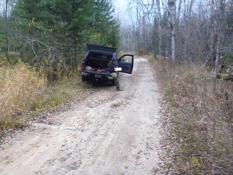
Information collected by:
Site Location
GPS Coordinates: 45.26191633
, -84.82103583
Owned by State
Fish Passability 0
Perch Height: 0.167 ft.
Total Erosion: 0.6004 tons/year
Severity: Severe
Year Inventoried: 2014

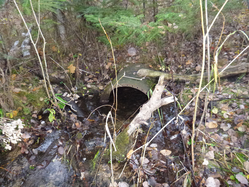
Inlet
Outlet
Upstream Conditions
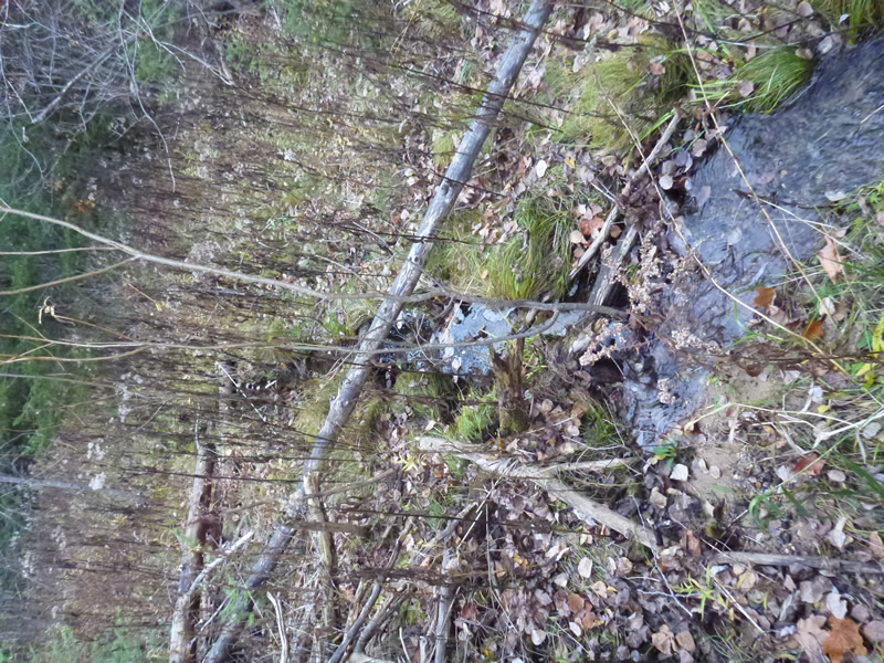
Downstream Conditions
Road Approach - Left
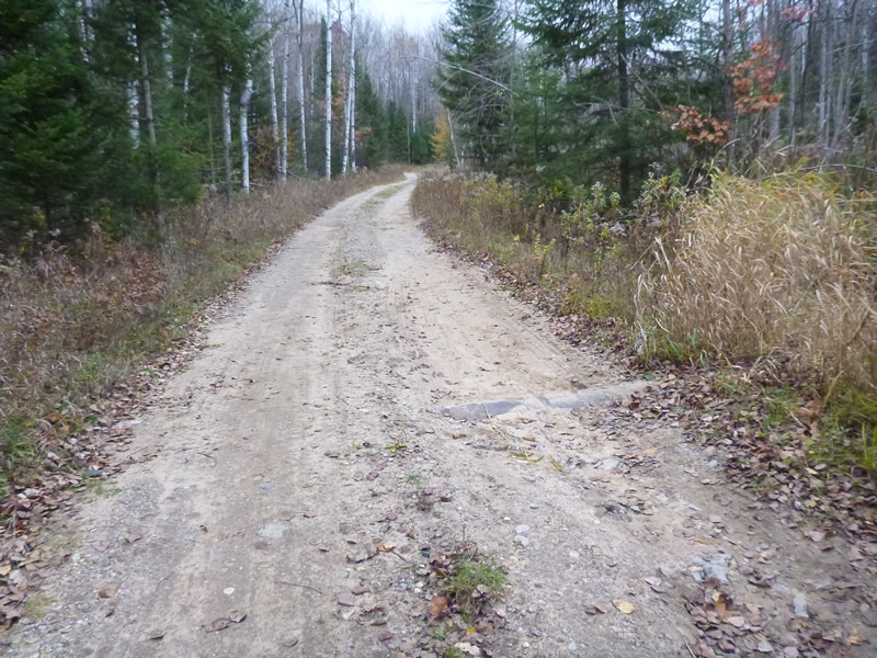
Road Approach - Right
Crossing Information
Type of Crossing: culvert(s)
Number of Structures: 1
Structure Shape: Round
Inlet Type: Projecting
Outlet Type: At Stream Grade
Structure Material: Metal
Structure Substrate: Gravel
General Conditions: Fair
Structure Interior: smooth
Structure is Rusted through
Dimensions of Structure: Length 25 ft.
, Width 1.67 ft.
Percentage Plugged:
Inlet: 0%
Outlet: 0%
In Pipe: 0%
Percentage Crushed:
Inlet: 0%
Outlet: 0%
In Pipe: 0%
Perch Height: 0.167 ft.
Structure Inlet
Water Depth: 0.2 ft.
Embedded Depth of Structure: 0 ft.
Water Velocity*: 0.09 ft./sec.
Structure Outlet
Water Depth: 0.8 ft.
Embedded Depth of Structure: 0.33 ft.
Water Velocity*: 0.04 ft./sec.
(with Meter)
Stream Information
Stream Flow: Less than Bankfull
Riffle Information
Water Depth: 0.33 ft.
Bankfull Width: 2.5 ft.
Wetted Width: 1.75 ft.
Water Velocity: 0.262 ft./sec.
(Measured with Meter)
Dominant Substrate: gravel/sand
Road Information
Gravel
State Road
Road Condition: Fair
Road Width at Culvert: 15.5 ft.
Location of Low Point: Other
Runoff Path: Roadway
Embankments
Upstream
Fill Depth: 2 ft.
Slope: 1:2
Downstream
Fill Depth: 2 ft.
Approaches
Left Approach
Length: 10 ft.
Slope: 1% to 5%
Vegetation: Heavy
LS Factor: 0.26
Erosion: 0.0111 tons/year
Right Approach
Length: 300 ft.
Slope: 1% to 5%
Vegetation: Heavy
LS Factor: 0.46
Erosion: 0.5893 tons/year
Erosion Information
Total Erosion at Crossing: 0.6004 tons/year
Summary Information
Fish Passability 0
�