Road Stream Crossing Site LTB-258
Little Traverse Bay Watershed, Spring Brook - North Branch
Springvale Rd
Chandler Twp,
Charlevoix County
Information collected by:
Site Location
GPS Coordinates: 45.25415348
, -84.82538618
Sec 17
Fish Passability 0.9
Total Erosion: 5.7348 tons/year
Severity: Severe
Year Inventoried: 2014
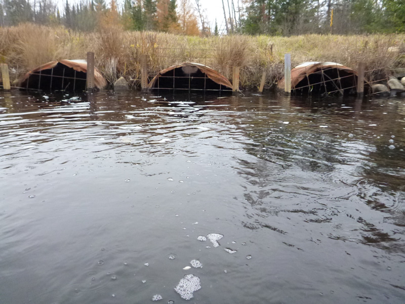
Inlet
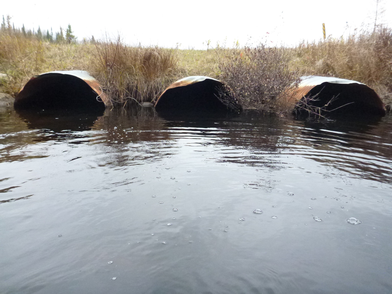
Outlet
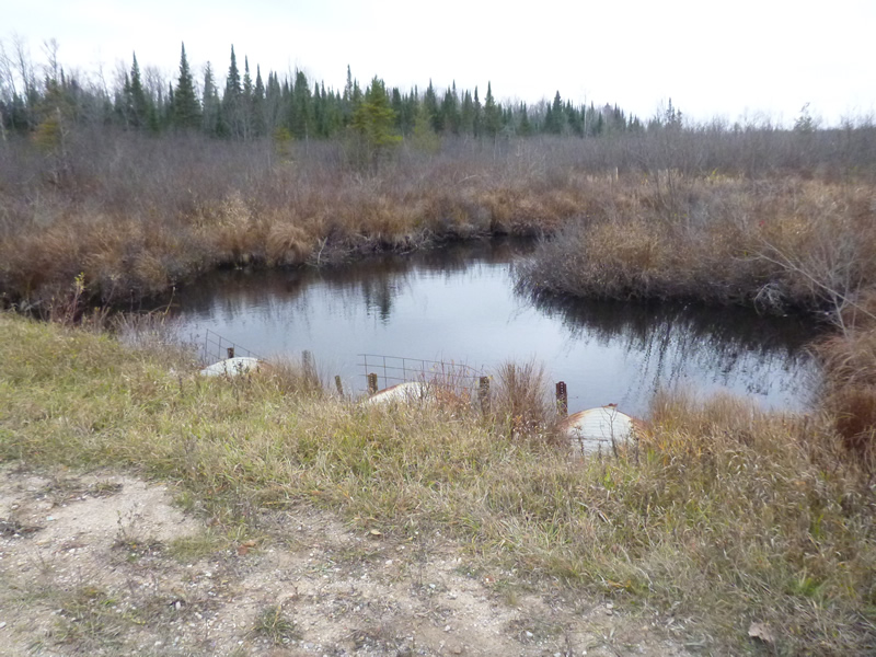
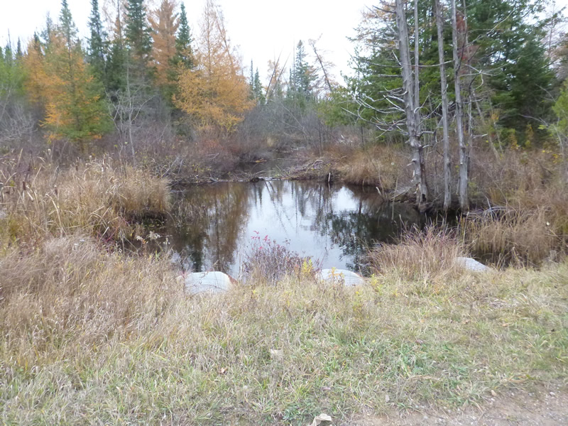
Upstream Conditions
Downstream Conditions
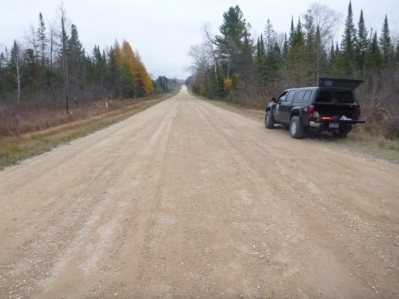
Road Approach - Left
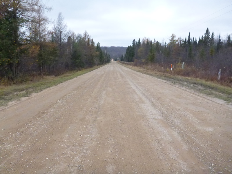
Road Approach - Right
Other
Crossing Information
Type of Crossing: culvert(s)
Number of Structures: 3
Structure Shape: Round
Inlet Type: Projecting
Outlet Type: At Stream Grade
Structure Material: Metal
Structure Substrate: Mixture
General Conditions: Fair
4 ft.
60 ft.
4 ft.
4 ft.
60 ft.
4 ft.
4 ft.
Structure Interior: corrugated
Dimensions of Structure: Length 60 ft.
, Width 4 ft.
, Height 4 ft.
Percentage Plugged:
Inlet: 0%
Outlet: 0%
In Pipe: 0%
Percentage Crushed:
Inlet: 0%
Outlet: 0%
In Pipe: 0%
Structure Inlet
Water Depth: 2.8 ft.
Embedded Depth of Structure: 3 ft.
Water Velocity*: 0.098 ft./sec.
Structure Outlet
Water Depth: 2.5 ft.
Embedded Depth of Structure: 3 ft.
Water Velocity*: 0.131 ft./sec.
*Water Velocities were measured 0.6 ft. below Surface
(with Meter)
Additional Comments
Old site ID: C-21.
Stream Information
Stream Flow: Less than Bankfull
Upstream Pond: Length 20 ft.
, Width 25 ft.
Riffle Information
Water Depth: 0.6 ft.
Bankfull Width: 17.66 ft.
Wetted Width: 14 ft.
Water Velocity: 0.656 ft./sec.
(Measured with Meter)
Dominant Substrate: Sand/silt
Road Information
Gravel
County Road
Road Condition: Fair
Road Width at Culvert: 33 ft.
Location of Low Point: Other
Embankments
Upstream
Fill Depth: 2 ft.
Slope: 1:2
Downstream
Fill Depth: 2.5 ft.
Slope: More than 1:2
Approaches
Left Approach
Length: 999 ft.
Slope: 1% to 5%
Vegetation: Heavy
LS Factor: 0.57
Erosion: 5.1757 tons/year
Right Approach
Length: 999 ft.
Slope: Less Than 1%
Vegetation: Heavy
LS Factor: 0.05
Erosion: 0.4541 tons/year
Erosion Information
Total Erosion at Crossing: 5.7348 tons/year
Extent of Erosion: Moderate
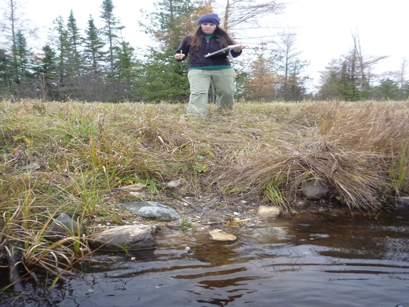
Notes: Photo #812 pedestrian/foot access to stream.
Location of erosion listed above is the upstream streambank.
Location of Erosion | Erosion Dimensions | Eroded Material | Material Eroded | Total Erosion | ||
facing downstream | Length | Width | Depth | Reaching Stream? | (tons/year) | |
Right Upstream Streambank |
5 ft. |
3 ft. |
3 ft. |
yes |
Gravel |
0.105 |
Summary Information
Fish Passability 0.9
Erosion is an area of concern for this site.
�