Road Stream Crossing Site LTB-259
Little Traverse Bay Watershed, Spring Brook - North Branch
E Howard at Bachandler Camp Rd
Chandler Twp,
Charlevoix County
Information collected by:
Site Location
GPS Coordinates: 45.2491549
, -84.81975848
Fish Passability 0
Total Erosion: 0.56 tons/year
Severity: Severe
Year Inventoried: 2014
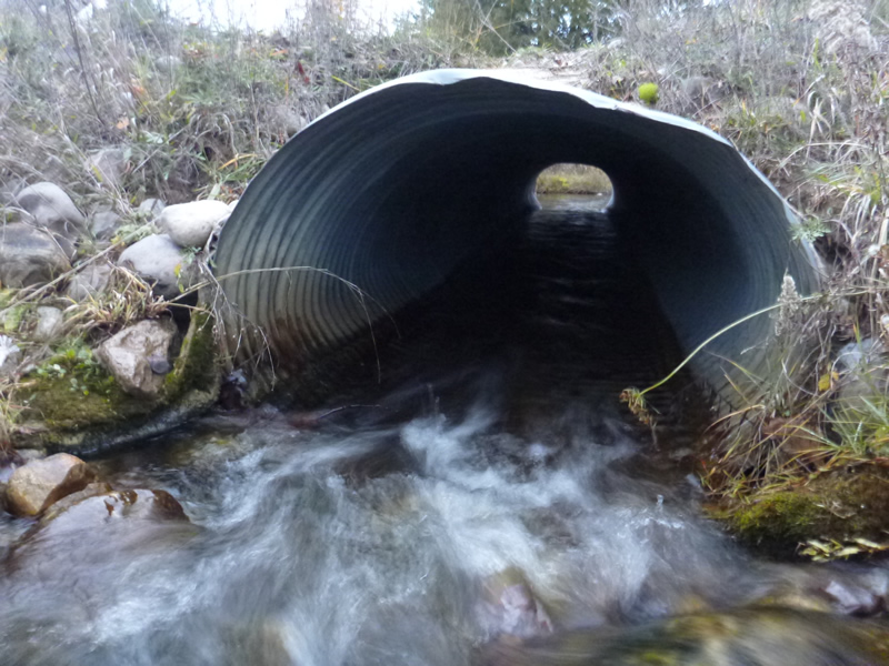
Inlet
Inlet
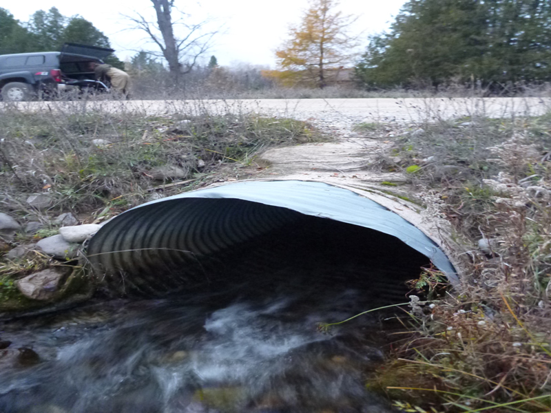
Outlet
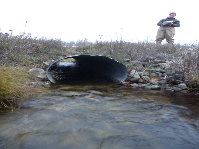
Upstream Conditions
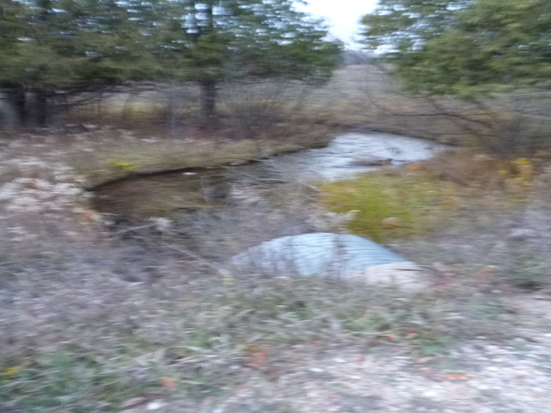
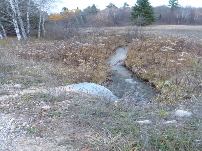
Downstream Conditions
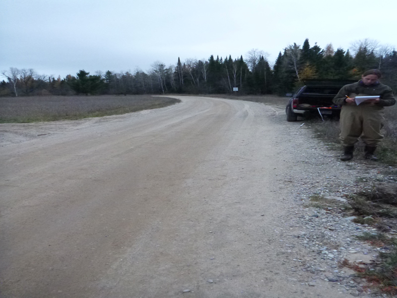
Road Approach - Left
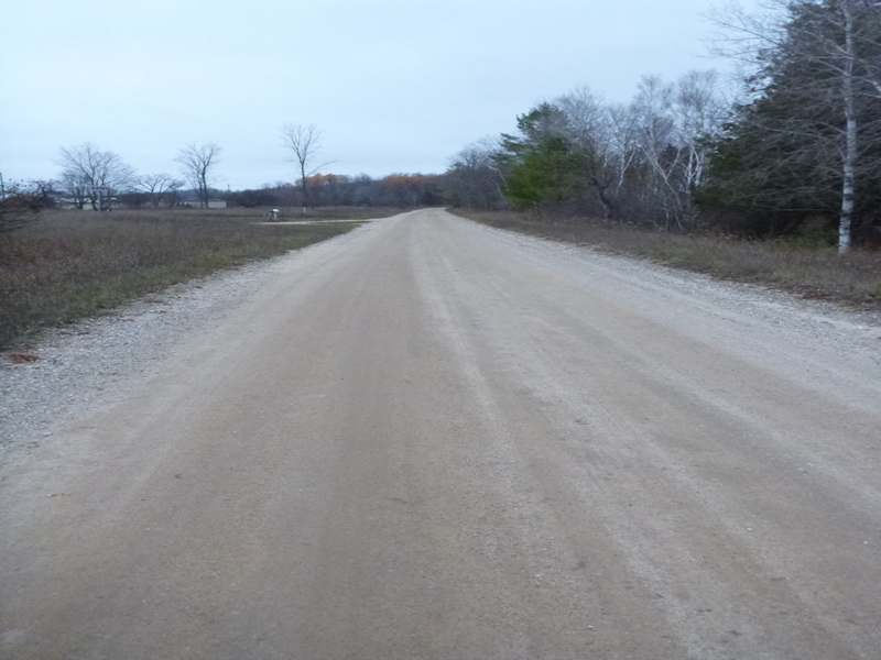
Road Approach - Right
Crossing Information
Type of Crossing: culvert(s)
Number of Structures: 1
Structure Shape: Ellipse
Inlet Type: Projecting
Outlet Type: At Stream Grade
Structure Material: Metal
Structure Substrate: None
General Conditions: Good
Structure Interior: corrugated
Dimensions of Structure: Length 34 ft.
, Width 4 ft.
, Height 3 ft.
Percentage Plugged:
Inlet: 0%
Outlet: 0%
In Pipe: 0%
Percentage Crushed:
Inlet: 0%
Outlet: 0%
In Pipe: 0%
Structure Inlet
Water Depth: 0.417 ft.
Embedded Depth of Structure: 0 ft.
Water Velocity*: 3.94 ft./sec.
Structure Outlet
Water Depth: 0.417 ft.
Embedded Depth of Structure: 0 ft.
Water Velocity*: 3.28 ft./sec.
*Water Velocities were measured 0.6 ft. below Surface
(with Meter)
Additional Comments
Old site ID: C-22.
Stream Information
Stream Flow: Less than Bankfull
Scour Pool: Length 10 ft.
, Width 6 ft.
, Depth 1 ft.
Riffle Information
Water Depth: 0.6 ft.
Bankfull Width: 5 ft.
Wetted Width: 3.7 ft.
Water Velocity: 0.984 ft./sec.
(Measured with Meter)
Dominant Substrate: gravel/sand
Road Information
Gravel
County Road
Road Condition: Good
Road Width at Culvert: 23 ft.
Location of Low Point: Other
Runoff Path: Roadway
Embankments
Upstream
Fill Depth: 1.5 ft.
Slope: 1:2
Downstream
Fill Depth: 2.5 ft.
Slope: 1:1.5
Slope: 1% to 5%
Vegetation: Heavy
Length: 200 ft.
Slope: 1% to 5%
Vegetation: Heavy
Erosion Information
Total Erosion at Crossing: 0.56 tons/year
Extent of Erosion: Severe
Erosion is occurring and corrective actions can be installed to address the problem.
Notes: The first location of erosion is upstream at culvert and has moderate erosion (shown in picture 104-0878). The second location of erosion is downstream at culvert and has severe erosion (shown in picture 104-0875). Need to rebuild roadbed; ditch right approach
Location of Erosion | Erosion Dimensions | Eroded Material | Material Eroded | Total Erosion | ||
facing downstream | Length | Width | Depth | Reaching Stream? | (tons/year) | |
Right Approach |
4 ft. |
5 ft. |
0.5 ft. |
yes |
Sand |
0.044 |
Right Upstream Ditch |
4 ft. |
5 ft. |
1 ft. |
yes |
Sand |
0.088 |
Left Approach |
6 ft. |
2 ft. |
1.3 ft. |
yes |
Sand |
0.1716 |
Left Upstream Ditch |
6 ft. |
2 ft. |
2 ft. |
yes |
Sand |
0.264 |
Summary Information
Fish Passability 0
Erosion is an area of concern for this site.
A future visit to this site is recommended. To evaluate erosion.
�