Road Stream Crossing Site CHAR_HA03
Lake Charlevoix Watershed, Woods Creek
Birdland Private Dr
Hayes Twp,
Charlevoix County
Information collected by:
Site Location
GPS Coordinates: 45.30719
, -85.19335
T34N
R07W
Sec 29
Owned by Private
Structure is NOT Perched
Total Erosion: 1.3793 tons/year
Severity: Moderate
Year Inventoried: 2011
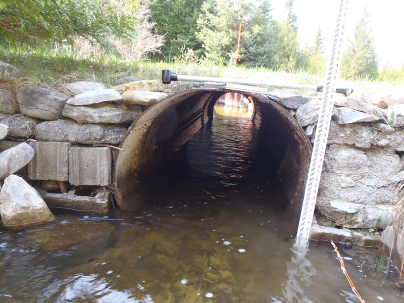
Inlet
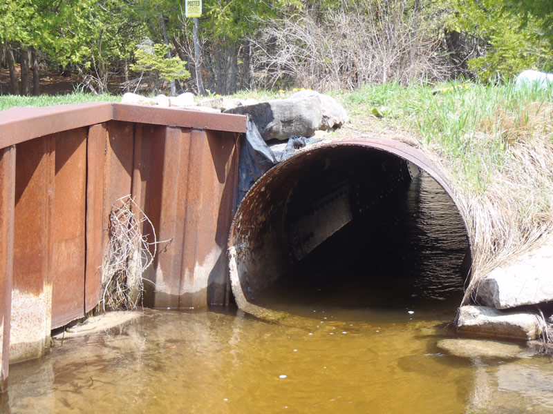
Outlet
Upstream Conditions
Downstream Conditions

Road Approach - Left
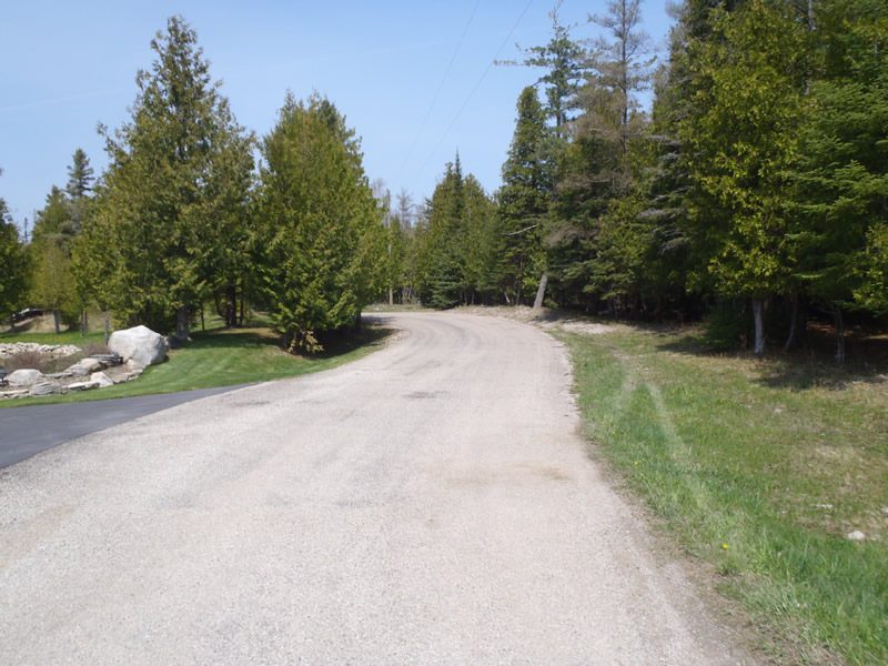
Road Approach - Right
Crossing Information
Type of Crossing: culvert(s)
Number of Structures: 1
Structure Shape: Round
Inlet Type: Headwall
Outlet Type: Other
Structure Material: Metal
Structure Substrate: Mixture
General Conditions: Good
Structure Interior: smooth
Dimensions of Structure: Length 24 ft.
, Width 3.3 ft.
, Height 3.3 ft.
Structure is NOT Perched
Structure Inlet
Water Depth: 1.07 ft.
Embedded Depth of Structure: 0 ft.
Water Velocity*: 1.1 ft./sec.
Structure Outlet
Water Depth: 1 ft.
Embedded Depth of Structure: 0 ft.
Water Velocity*: 1.3 ft./sec.
*Water Velocities were measured 0.6 ft. below Surface
(with Meter)
Stream Information
Stream Flow: Less than Bankfull
Scour Pool: Length 9 ft.
, Width 5 ft.
, Depth 1.57 ft.
Upstream Pond: Length 8.5 ft.
, Width 7 ft.
Riffle Information
Water Depth: 0.6 ft.
Bankfull Width: 6.5 ft.
Wetted Width: 5.4 ft.
Water Velocity: 1 ft./sec.
(Measured with Meter)
Dominant Substrate: Sand
Road Information
Gravel
Private Road
Road Condition: Fair
Road Width at Culvert: 14 ft.
Location of Low Point: Other
Runoff Path: Ditch
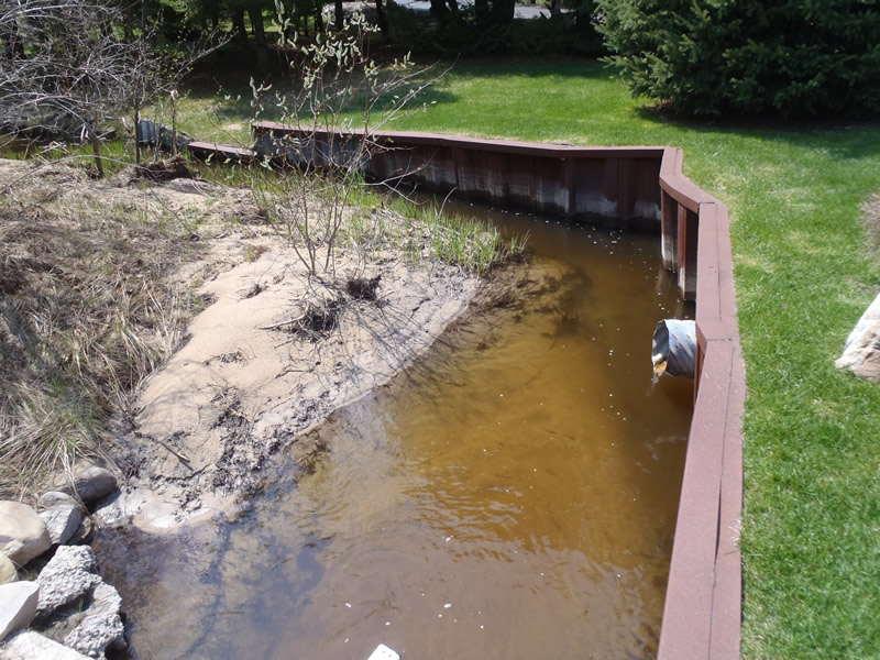
Embankments
Upstream
Fill Depth: 0.9 ft.
Slope: Vertical
Downstream
Fill Depth: 1.3 ft.
Slope: Vertical
Approaches
Left Approach
Length: 453 ft.
Slope: 1% to 5%
Vegetation: Heavy
LS Factor: 0.491
Erosion: 0.8571 tons/year
Right Approach
Length: 258 ft.
Slope: 1% to 5%
Vegetation: Partial
LS Factor: 0.525
Erosion: 0.5222 tons/year
Erosion Information
Total Erosion at Crossing: 1.3793 tons/year
Extent of Erosion: Moderate
Summary Information
Erosion is an area of concern for this site.
�