Road Stream Crossing Site LTB-260
Little Traverse Bay Watershed, Spring Brook - North Branch
Chandler Hill Rd
Chandler Twp,
Charlevoix County
Information collected by:
Site Location
GPS Coordinates: 45.23900032
, -84.83597703
Sec 19
Owned by Private
Fish Passability 0
Perch Height: 0.5 ft.
Total Erosion: 9.7328 tons/year
Severity: Severe
Year Inventoried: 2014
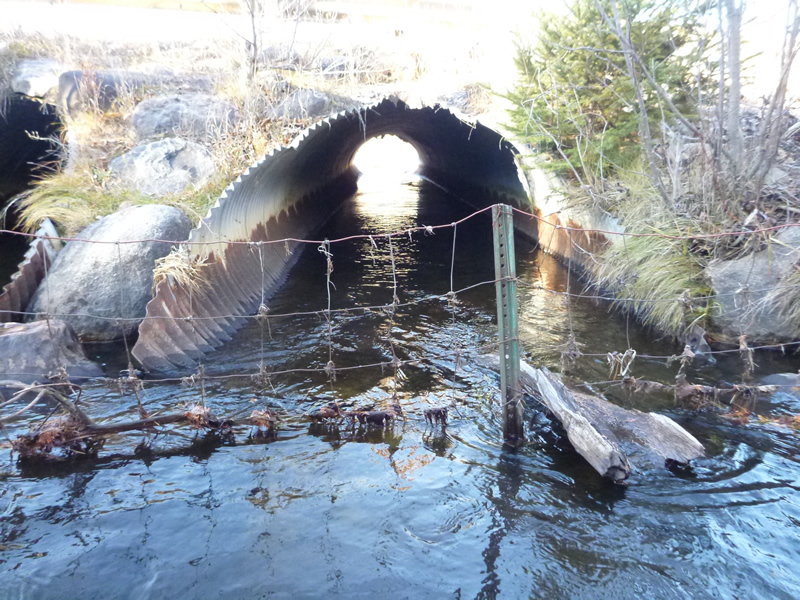
Inlet
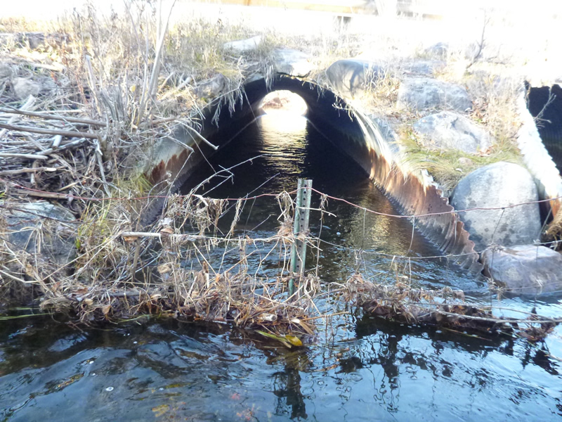
Inlet
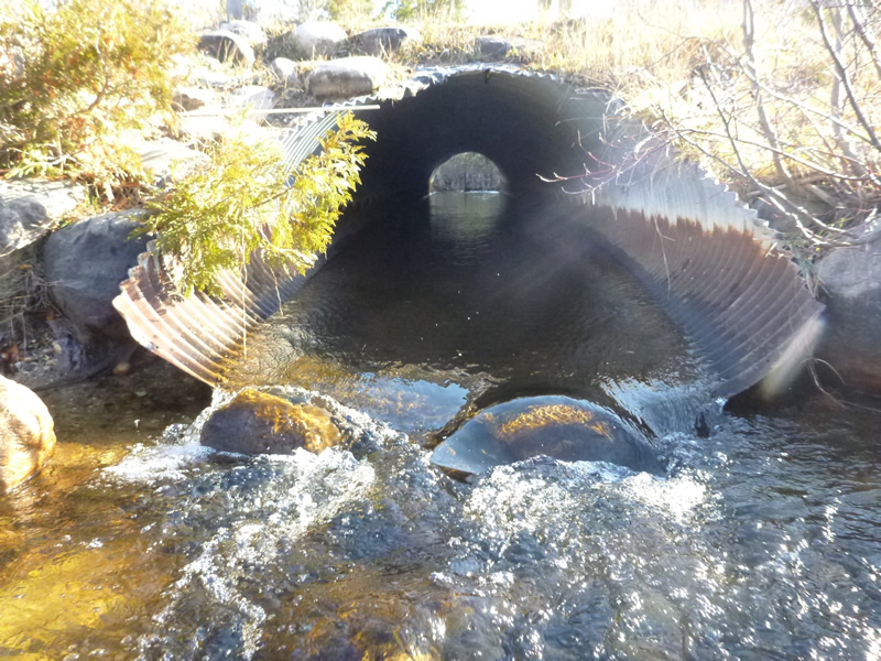
Outlet
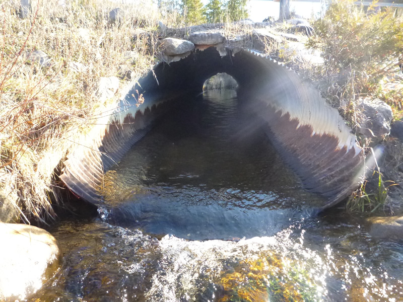
Outlet
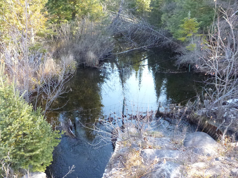
Upstream Conditions
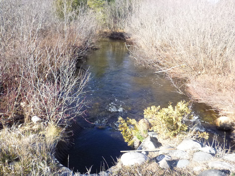
Downstream Conditions
Road Approach - Left
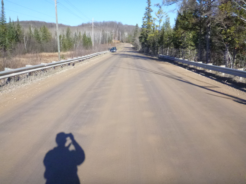
Road Approach - Left
Crossing Information
Type of Crossing: culvert(s)
Number of Structures: 2
Structure Shape: Pipe Arch
Inlet Type: Mitered
Outlet Type: At Stream Grade
Structure Material: Metal
Structure Substrate: Gravel
General Conditions: Good
Structure Interior: corrugated
Percentage Plugged:
Inlet: 0%
Outlet: 0%
In Pipe: 0%
Perch Height: 0.5 ft.
Structure Inlet
Water Depth: 0.8 ft.
Water Velocity*: 1.55 ft./sec.
Structure Outlet
Water Depth: 0.7 ft.
Embedded Depth of Structure: 0 ft.
Water Velocity*: 2.05 ft./sec.
*Water Velocities were measured 0.6 ft. below Surface
(with Meter)
Additional Comments
Old site ID: C-23.
Stream Information
Stream Flow: Less than Bankfull
Riffle Information
Water Depth: 1.6 ft.
Bankfull Width: 6 ft.
Water Velocity: 0.448 ft./sec.
(Measured with Meter)
Dominant Substrate: gravel/sand/organics
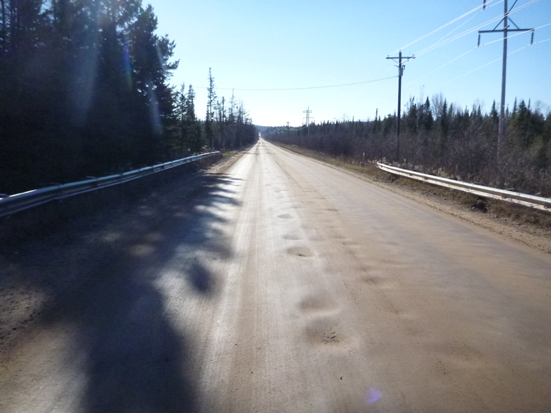
Road Information
Gravel
County Road
Road Condition: Good
Road Width at Culvert: 35 ft.
Location of Low Point: Other
Runoff Path: Roadway
Embankments
Upstream
Fill Depth: 2 ft.
Slope: 1:1.5
Downstream
Fill Depth: 2 ft.
Slope: 1:1.5
Approaches
Left Approach
Length: 999 ft.
Slope: 1% to 5%
Vegetation: Heavy
LS Factor: 0.57
Erosion: 5.4894 tons/year
Right Approach
Length: 800 ft.
Slope: 1% to 5%
Vegetation: Heavy
LS Factor: 0.55
Erosion: 4.2424 tons/year
Erosion Information
Total Erosion at Crossing: 9.7328 tons/year
Extent of Erosion: Minor
Erosion is occurring and corrective actions can be installed to address the problem.
Notes: Location of erosion was over top of second culvert (R2). Runoff from road probably getting into stream when hard rain.
Location of Erosion | Erosion Dimensions | Eroded Material | Material Eroded | Total Erosion | ||
facing downstream | Length | Width | Depth | Reaching Stream? | (tons/year) | |
Right Downstream Embankment |
2 ft. |
1 ft. |
0.5 ft. |
yes |
Gravel |
0.001 |
Summary Information
Fish Passability 0
Fish Passage is an area of concern for this site.
Potentially because of fencing (2 sets) spanning and debris build up. The inlet type to the culvert was mitered and "other" 2-sets. The inlet had gravel and rock substrate in the structure, but the outlet had none.
A future visit to this site is recommended. Keep check on minor erosion.
�