Road Stream Crossing Site LTB-261
Little Traverse Bay Watershed, Gimlet Creek tributary
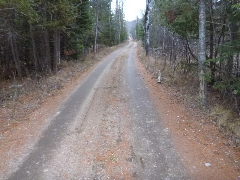
Fiel Road (2-track)
Melrose Twp,
Charlevoix County
Information collected by:
Site Location
GPS Coordinates: 45.21840019
, -84.87738876
Sec 26
Owned by State
Fish Passability 0.9
Total Erosion: 0.2722 tons/year
Severity: Minor
Year Inventoried: 2014
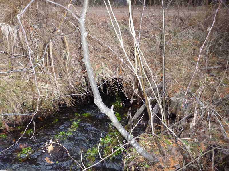
Inlet
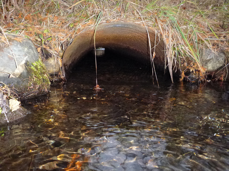
Outlet
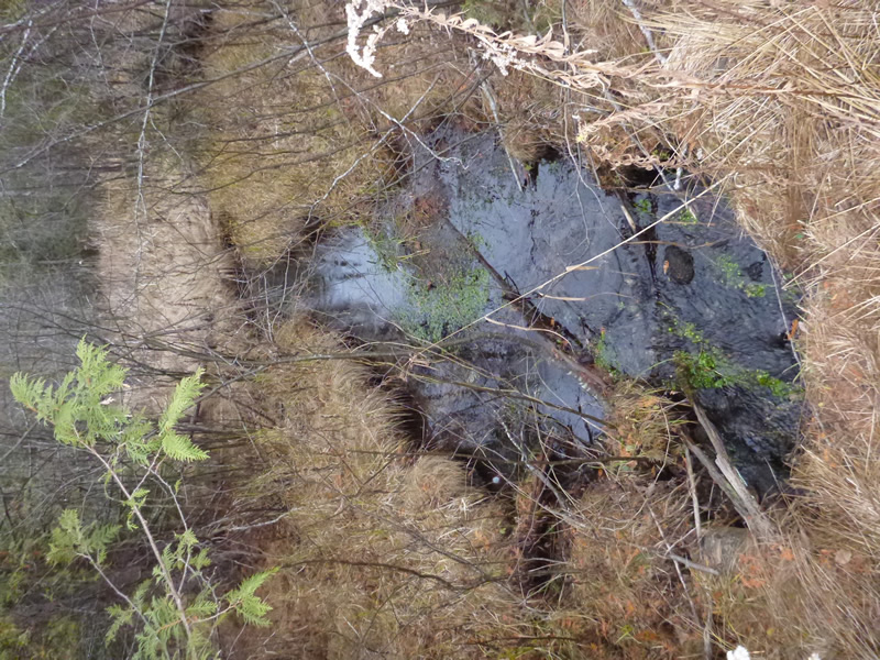
Upstream Conditions
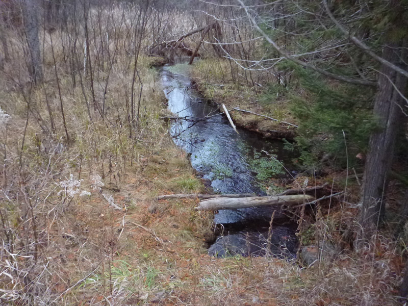
Downstream Conditions
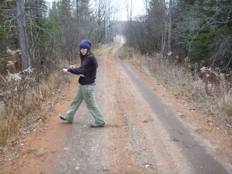
Road Approach - Left
Road Approach - Right
Crossing Information
Type of Crossing: culvert(s)
Number of Structures: 1
Structure Shape: Ellipse
Inlet Type: Projecting
Outlet Type: At Stream Grade
Structure Material: Metal
Structure Substrate: None
General Conditions: Fair
Structure Interior: corrugated
Dimensions of Structure: Length 25 ft.
, Width 1.81 ft.
, Height 1.1 ft.
Percentage Plugged:
Inlet: 0%
Outlet: 0%
In Pipe: 0%
Percentage Crushed:
In Pipe: 26% to 50%
Structure Inlet
Water Depth: 0.3 ft.
Water Velocity*: 0.7 ft./sec.
Structure Outlet
Water Depth: 0.25 ft.
Embedded Depth of Structure: 0 ft.
Water Velocity*: 0.9 ft./sec.
*Water Velocities were measured 0.6 ft. below Surface
(with Meter)
Additional Comments
Old site ID: C-25.
Stream Information
Stream Flow: Less than 1/2 Bankfull
Riffle Information
Water Depth: 0.75 ft.
Bankfull Width: 5.9 ft.
Water Velocity: 0.597 ft./sec.
(Measured with Meter)
Dominant Substrate: sand/organics
Road Information
Gravel
County Road
Road Condition: Good
Road Width at Culvert: 13 ft.
Location of Low Point: Other
Runoff Path: Roadway
Embankments
Upstream
Fill Depth: 2 ft.
Slope: 1:1.5
Downstream
Fill Depth: 2 ft.
Slope: 1:2
Approaches
Left Approach
Length: 100 ft.
Slope: 1% to 5%
Vegetation: Heavy
LS Factor: 0.38
Erosion: 0.1361 tons/year
Right Approach
Length: 100 ft.
Slope: 1% to 5%
Vegetation: Heavy
LS Factor: 0.38
Erosion: 0.1361 tons/year
Erosion Information
Total Erosion at Crossing: 0.2722 tons/year
Notes: Runoff path includes BOTH the roadway and the ditch.
Summary Information
Fish Passability 0.9
�