Road Stream Crossing Site LTB-263
Little Traverse Bay Watershed, Tributary to South Branch - Spring Brook
Howard Rd
Chandler Twp,
Charlevoix County
Information collected by:
Site Location
GPS Coordinates: 45.24318708
, -84.81678327
Fish Passability 0
Perch Height: 0.5 ft.
Total Erosion: 3.7532 tons/year
Severity: Severe
Year Inventoried: 2014
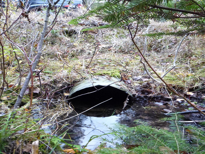
Inlet
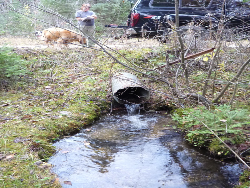
Outlet
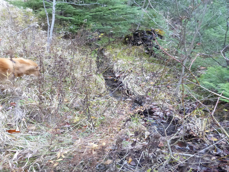
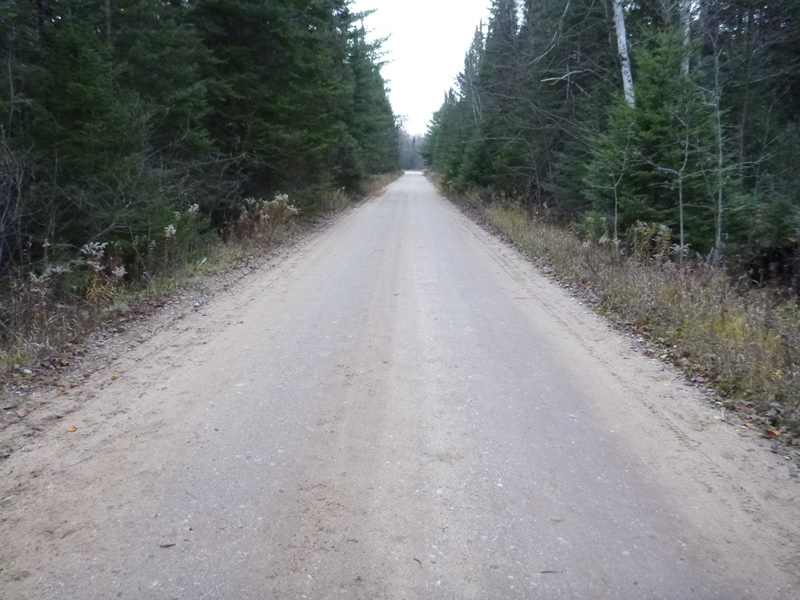
Upstream Conditions
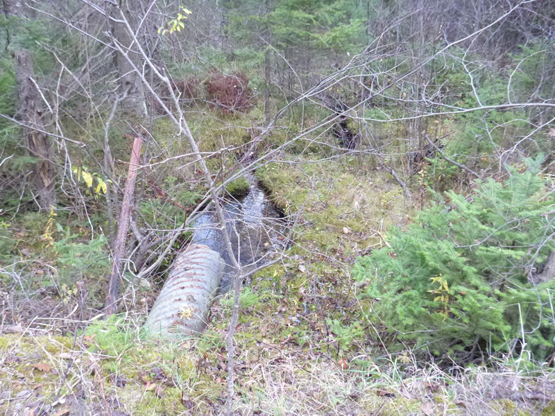
Downstream Conditions
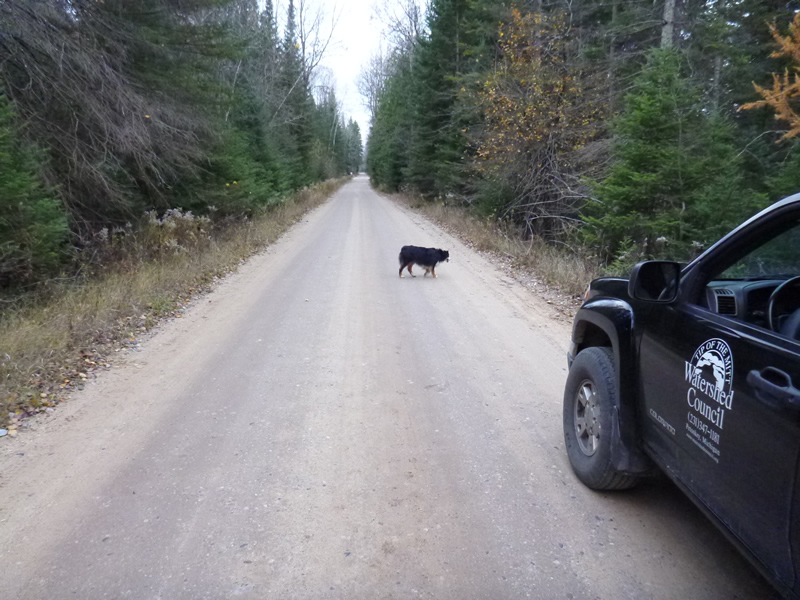
Road Approach - Left
Road Approach - Right
Crossing Information
Type of Crossing: culvert(s)
Number of Structures: 1
Structure Shape: Round
Inlet Type: Projecting
Outlet Type: Freefall into Pool
Structure Material: Metal
Structure Substrate: None
General Conditions: Good
Structure Interior: corrugated
Dimensions of Structure: Length 33 ft.
, Width 1.33 ft.
Perch Height: 0.5 ft.
Structure Inlet
Water Depth: 0.6 ft.
Water Velocity*: 0.06 ft./sec.
Structure Outlet
Water Depth: 0.083 ft.
Water Velocity*: 0.06 ft./sec.
Additional Comments
MDNR. Old site ID: C-36.
Stream Information
Stream Flow: Less than 1/2 Bankfull
Scour Pool: Length 6 ft.
, Width 3 ft.
, Depth 0.83 ft.
Riffle Information
Water Depth: 0.2 ft.
Bankfull Width: 2.5 ft.
Wetted Width: 1.5 ft.
Water Velocity: 0.1 ft./sec.
Dominant Substrate: Sand
Road Information
Gravel
County Road
Road Condition: Good
Road Width at Culvert: 22 ft.
Location of Low Point: Other
Embankments
Upstream
Fill Depth: 2 ft.
Slope: 1:1.5
Downstream
Fill Depth: 2 ft.
Slope: 1:1.5
Approaches
Left Approach
Length: 999 ft.
Slope: Less Than 1%
Vegetation: Heavy
LS Factor: 0.05
Erosion: 0.3027 tons/year
Right Approach
Length: 999 ft.
Slope: 1% to 5%
Vegetation: Heavy
LS Factor: 0.57
Erosion: 3.4505 tons/year
Erosion Information
Total Erosion at Crossing: 3.7532 tons/year
Extent of Erosion: Stabilized
Summary Information
Fish Passability 0
�