Road Stream Crossing Site CHAR_HA05
Lake Charlevoix Watershed, Unknown
Pin Cherry Rd
Hayes Twp,
Charlevoix County
Information collected by:
Site Location
GPS Coordinates: 45.345661
, -85.106658
T34N
R07W
Sec 13
Owned by Private
Total Erosion: 0.6344 tons/year
Severity: Moderate
Year Inventoried: 2011
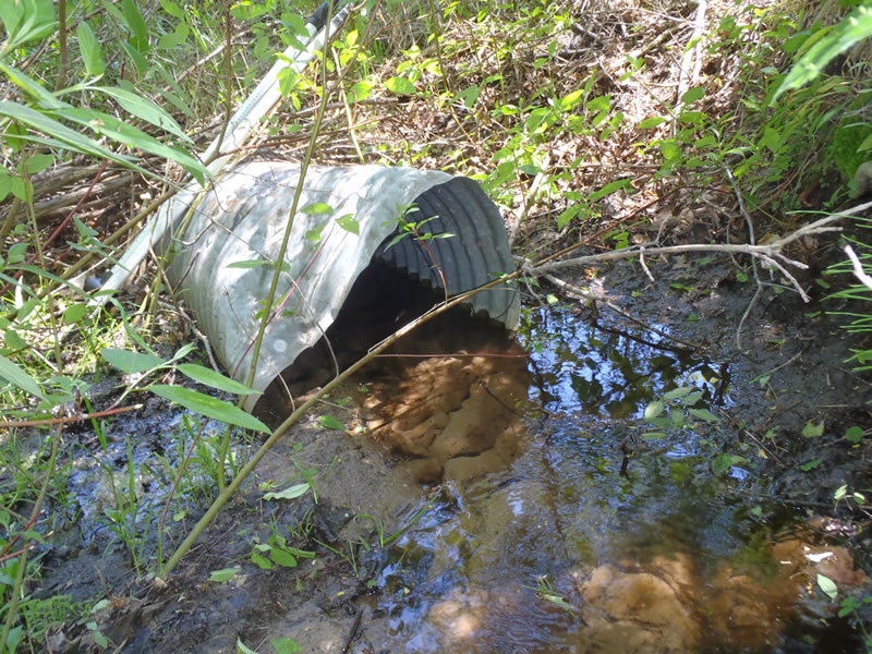
Inlet
Outlet
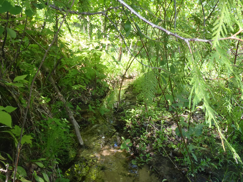
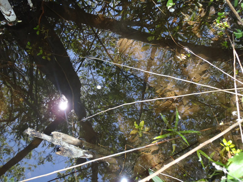
Upstream Conditions
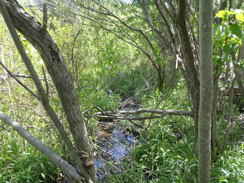
Downstream Conditions
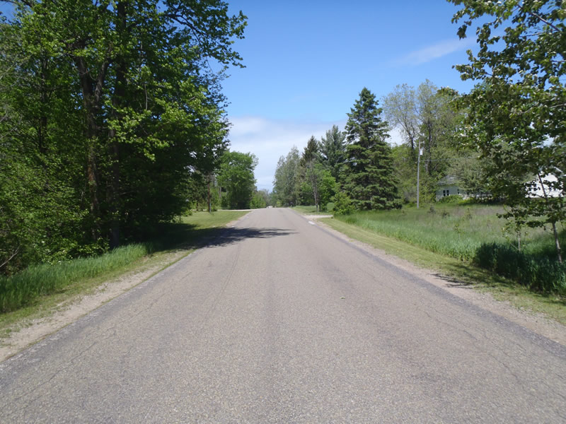
Road Approach - Left
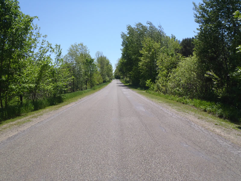
Road Approach - Right
Crossing Information
Type of Crossing: culvert(s)
Number of Structures: 1
Structure Shape: Round
Inlet Type: Projecting
Outlet Type: Other
Structure Material: Metal
Structure Substrate: Sand
General Conditions: Fair
Structure Interior: corrugated
Dimensions of Structure: Length 70 ft.
, Width 1.5 ft.
, Height 1.5 ft.
Percentage Plugged:
Inlet: 0%
Outlet: 26% to 50%
In Pipe: 0%
Percentage Crushed:
Inlet: 26% to 50%
Outlet: 0%
In Pipe: 0%
Structure Inlet
Water Depth: 0.12 ft.
Embedded Depth of Structure: 0.3 ft.
Water Velocity*: 0.6 ft./sec.
Structure Outlet
Water Depth: 1.3 ft.
Embedded Depth of Structure: 0.88 ft.
Water Velocity*: 0.05 ft./sec.
*Water Velocities were measured at the Surface
(with Meter)
Additional Comments
Outlet is submerged by 0.68 ft of water.
Stream Information
Stream Flow: Less than Bankfull
Scour Pool: Length 4 ft.
, Width 3 ft.
, Depth 1.3 ft.
Riffle Information
Water Depth: 0.1 ft.
Bankfull Width: 3 ft.
Wetted Width: 1.5 ft.
Water Velocity: 0.8 ft./sec.
(Measured with Meter)
Dominant Substrate: Sand
Road Information
Paved
County Road
Road Condition: Good
Road Width at Culvert: 26 ft.
Location of Low Point: At Stream
Runoff Path: Ditch
Embankments
Upstream
Fill Depth: 5.5 ft.
Slope: 1:1.5
Downstream
Fill Depth: 8 ft.
Slope: 1:1
Approaches
Left Approach
Length: 849 ft.
Slope: 1% to 5%
Vegetation: Heavy
LS Factor: 0.555
Erosion: 0.4049 tons/year
Right Approach
Length: 528 ft.
Slope: 1% to 5%
Vegetation: Heavy
LS Factor: 0.506
Erosion: 0.2295 tons/year
Erosion Information
Total Erosion at Crossing: 0.6344 tons/year
Extent of Erosion: Moderate
Summary Information
Erosion is an area of concern for this site.
�