Road Stream Crossing Site BT_B039
Betsie River Watershed, Dair Creek
Weldon Rd
Weldon Twp,
Benzie County
Information collected by:
Site Location
GPS Coordinates: 44.57536
, -85.97744
T25N
R14W
Sec 10
Owned by State
Fish Passability 0.9
Total Erosion: 0.4681 tons/year
Severity: Minor
Year Inventoried: 2014
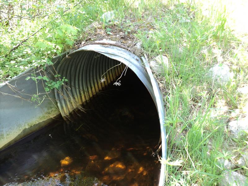
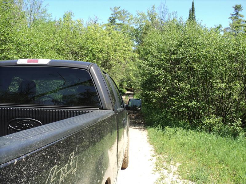
Inlet
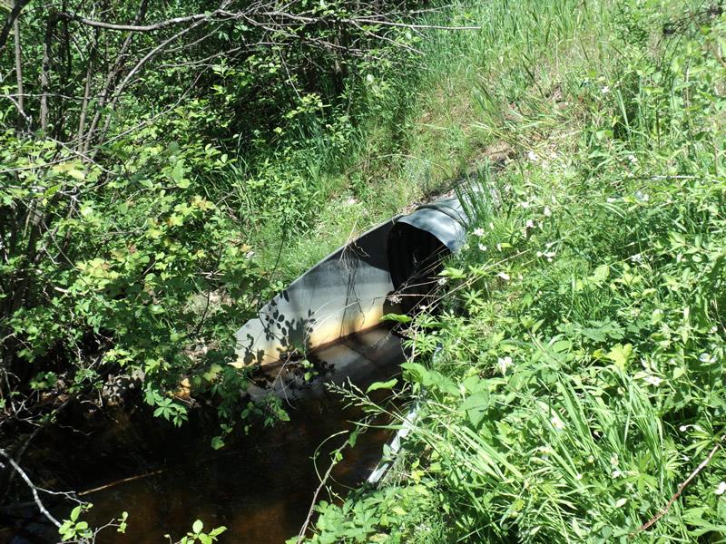
Outlet
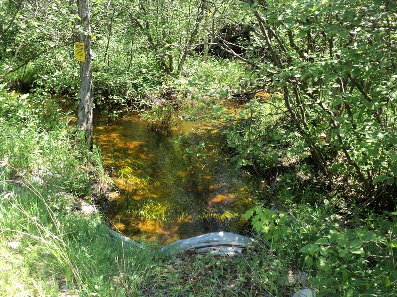
Upstream Conditions
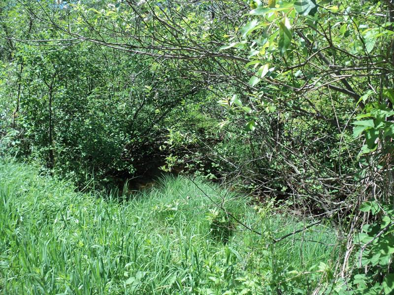
Downstream Conditions
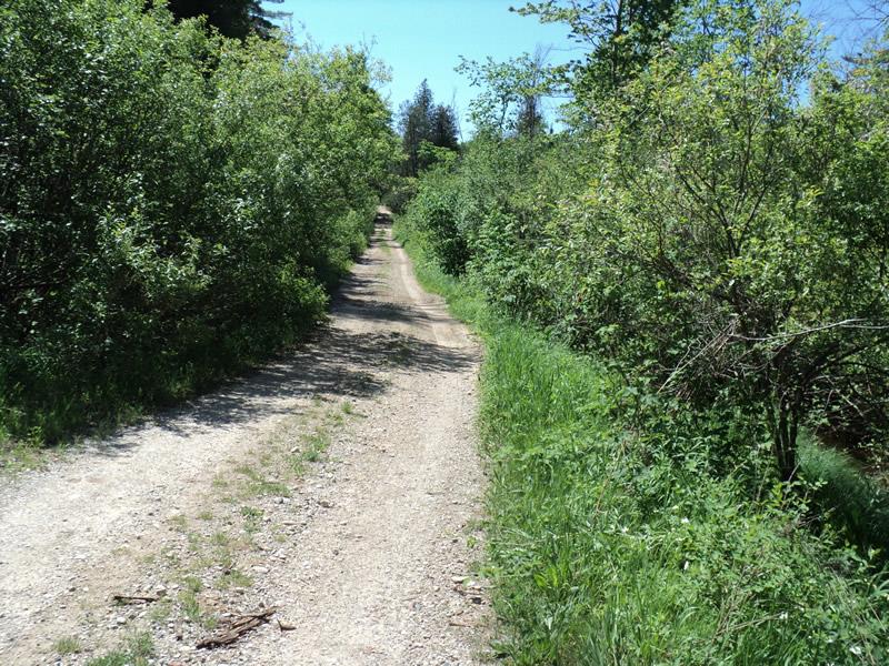
Road Approach - Left
Road Approach - Right
Crossing Information
Type of Crossing: culvert(s)
Number of Structures: 1
Structure Shape: Round
Inlet Type: Apron
Outlet Type: Outlet Apron
Structure Material: Metal
Structure Substrate: Rock
General Conditions: Good
Structure Interior: corrugated
Dimensions of Structure: Length 40 ft.
, Width 3.5 ft.
, Height 3.5 ft.
Structure Inlet
Water Depth: 1.2 ft.
Embedded Depth of Structure: 0.4 ft.
Water Velocity*: 0.8 ft./sec.
Structure Outlet
Water Depth: 1.3 ft.
Embedded Depth of Structure: 0.2 ft.
Water Velocity*: 0.9 ft./sec.
*Water Velocities were measured 1 ft. below Surface
(with Meter)
Stream Information
Stream Flow: Less than Bankfull
Scour Pool: Length 9 ft.
, Width 7 ft.
, Depth 2 ft.
Upstream Pond: Length 0 ft.
, Width 0 ft.
, Depth 0 ft.
Riffle Information
Water Depth: 1.1 ft.
Bankfull Width: 8 ft.
Wetted Width: 6 ft.
Water Velocity: 0.9 ft./sec.
(Measured with Meter)
Dominant Substrate: Gravel
Road Information
Gravel
Other Road
(Seasonal)
Road Condition: Poor
Road Width at Culvert: 10 ft.
Location of Low Point: Other
Runoff Path: Roadway
Embankments
Upstream
Fill Depth: 0.6 ft.
Slope: More than 1:2
Downstream
Fill Depth: 0.8 ft.
Slope: More than 1:2
Approaches
Left Approach
Length: 0 ft.
Slope: Less Than 1%
Vegetation: Heavy
LS Factor: 0.05
Erosion: 0 tons/year
Right Approach
Length: 360 ft.
Slope: 1% to 5%
Vegetation: Heavy
LS Factor: 0.472
Erosion: 0.4681 tons/year
Erosion Information
Total Erosion at Crossing: 0.4681 tons/year
Summary Information
Fish Passability 0.9
�